MyTopo
Classic USGS Hubbertville Alabama 7.5'x7.5' Topo Map
Couldn't load pickup availability
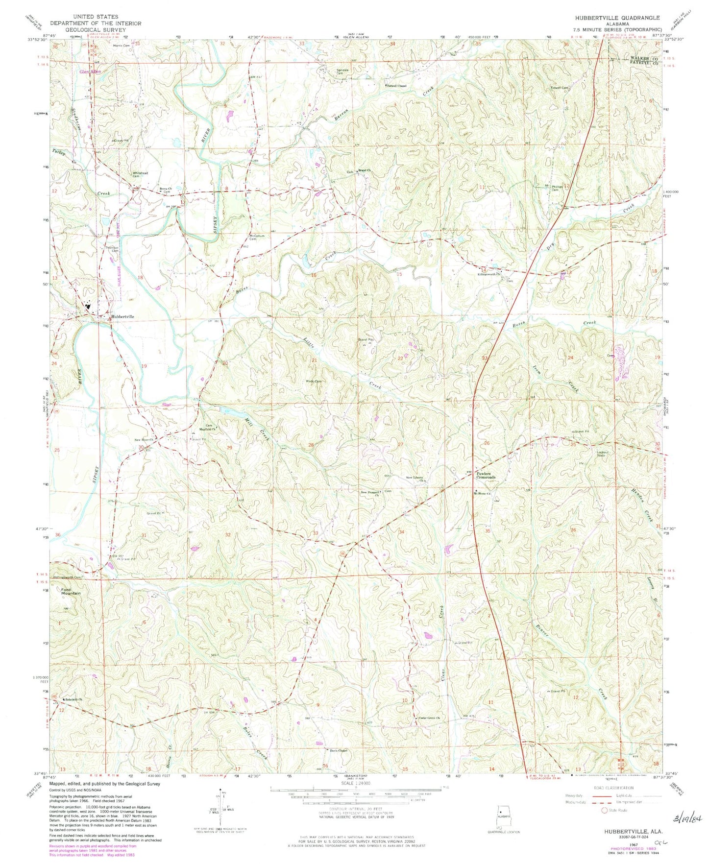
Historical USGS topographic quad map of Hubbertville in the state of Alabama. Map scale may vary for some years, but is generally around 1:24,000. Print size is approximately 24" x 27"
This quadrangle is in the following counties: Fayette, Walker.
The map contains contour lines, roads, rivers, towns, and lakes. Printed on high-quality waterproof paper with UV fade-resistant inks, and shipped rolled.
Contains the following named places: Barron Creek, Berea Cemetery, Berea Church of Christ, Boxes Creek, Boxes Creek Gas Field, Boxes Creek School, Cedar Grove Cemetery, Cedar Grove Church, Davis Chapel, Davis Chapel Cemetery, Davis Chapel Gas Field, Dobbs Cemetery, Dry Creek, Ford Mountain, Fowler Crossroads Volunteer Fire Department, Fowlers Crossroads, Hollingsworth Cemetery, Hollingsworth Mill Creek, Hubbertsville Gas Field, Hubbertville, Hubbertville Cemetery, Hubbertville Church of Christ, Hubbertville High School, Hubbertville Volunteer Fire Department, Isom Creek, Little Creek, Mac-Jer Dairy, Mayfield Cemetery, Mayfield Church, McCollum Bridge, McCollum Cemetery, Mill Creek, Morris Cemetery, Mount Home Baptist Church, New Liberty Cemetery, New Liberty Church, New Prospect Cemetery, New Prospect Primitive Baptist Church, New River Baptist Church, New River Cemetery, New River Church, New River Church of Christ, New River Hunting Club, New River Primitive Baptist Church, Northeast Davis Chapel Gas Field, Northeast Fayette Division, Phillips Cemetery, Rehobeth Cemetery, Rehobeth Church, Sprinkle Cemetery, Studhorse Creek, Thornton Cemetery, Tidwell Cemetery, Tidwell Chapel, Tidwell Chapel Cemetery, Turkey Creek, Wade Cemetery, Whitehead Cemetery, Wiley Hollingsworth Stadium


