
MyTopo
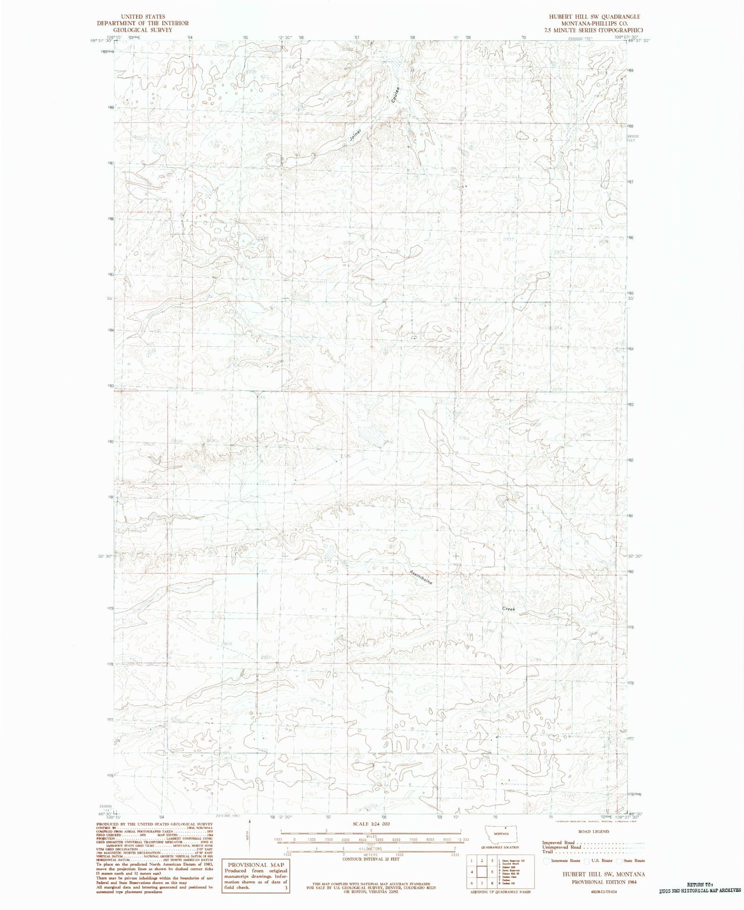
Classic USGS Hubert Hill SW Montana 7.5'x7.5' Topo Map
Regular price
$16.95
Regular price
Sale price
$16.95
Unit price
per
Couldn't load pickup availability
Historical USGS topographic quad map of Hubert Hill SW in the state of Montana. Map scale may vary for some years, but is generally around 1:24,000. Print size is approximately 24" x 27"
This quadrangle is in the following counties: Phillips.
The map contains contour lines, roads, rivers, towns, and lakes. Printed on high-quality waterproof paper with UV fade-resistant inks, and shipped rolled.
Contains the following named places: 32N27E25BB__01 Well, Boothe Dam, Long View School, Matulka Dam, Plethora Dam, PR-56 Dam, PR-98 Dam, Rolling Prairie School, Valley View School


