MyTopo
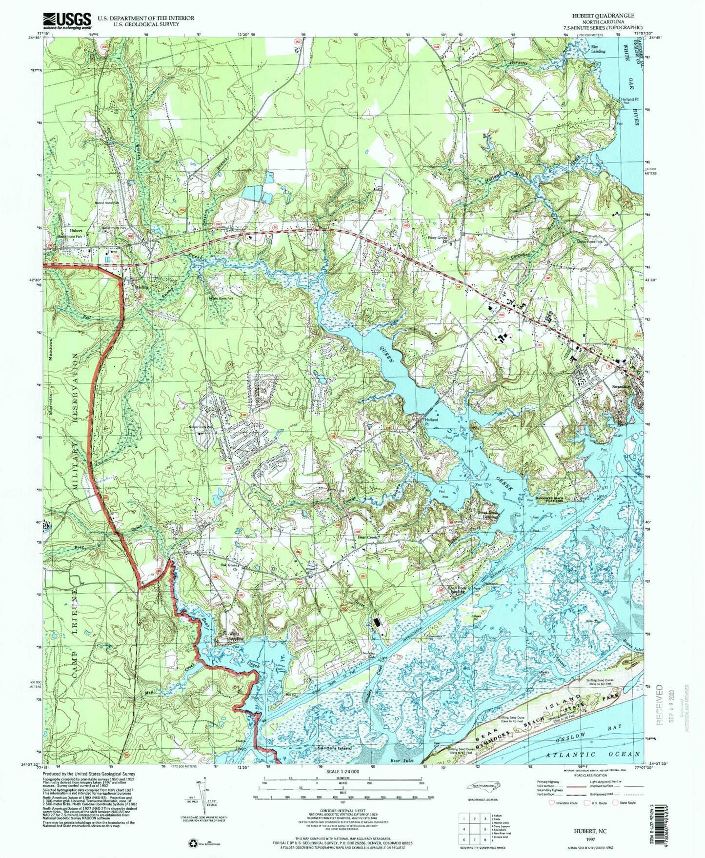
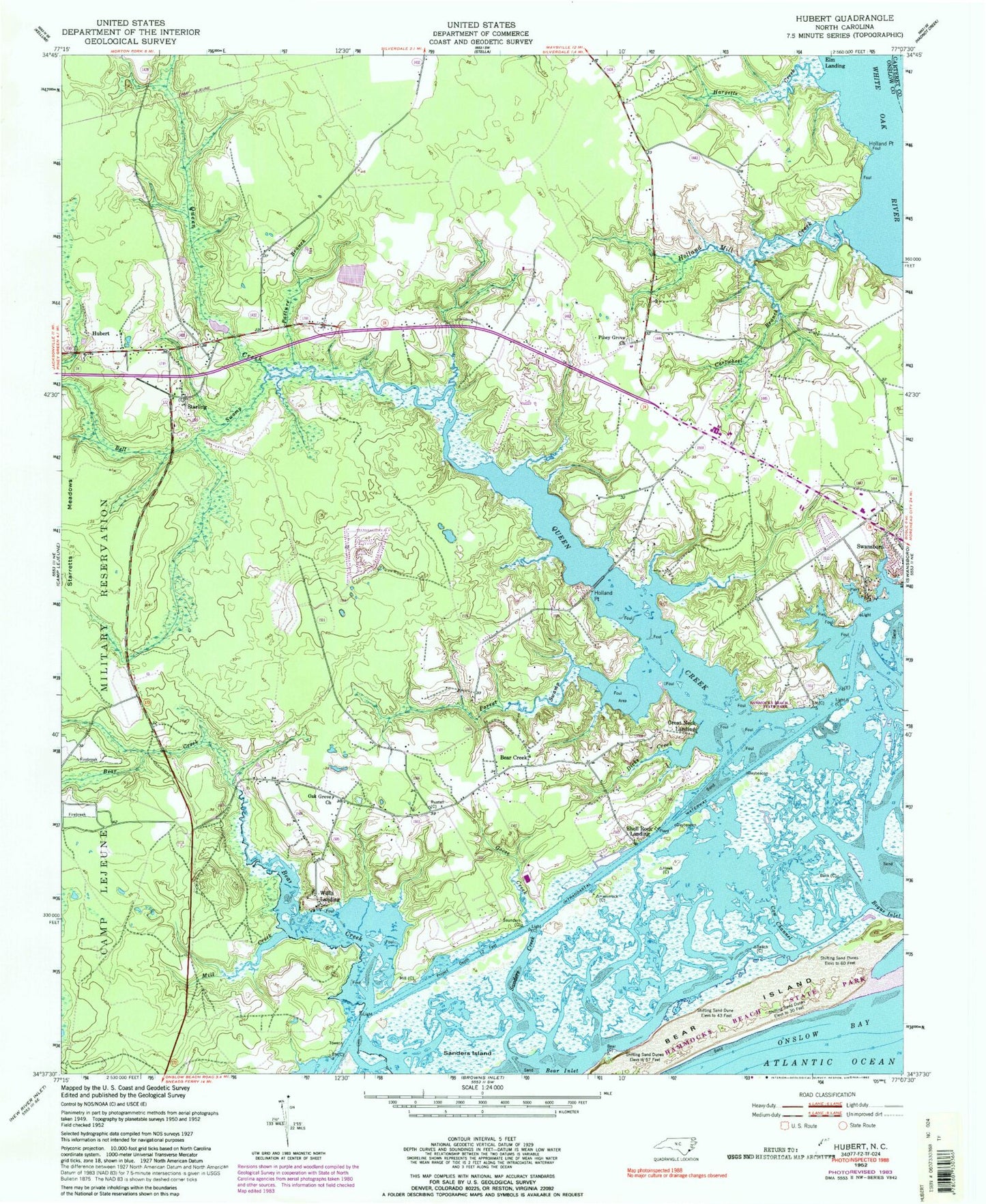
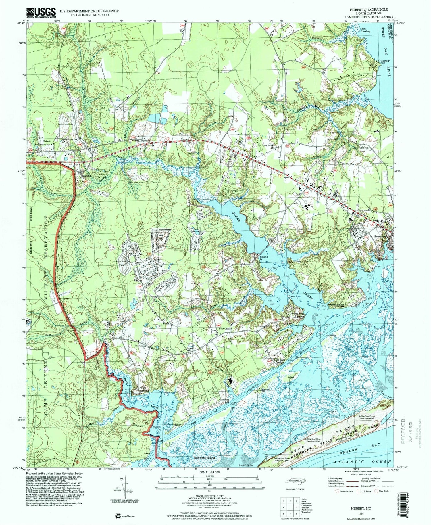
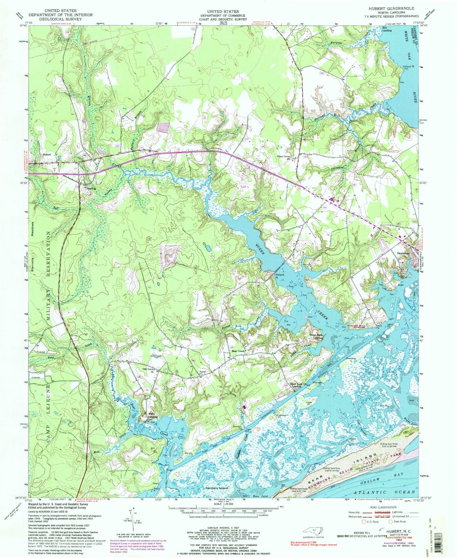
Classic USGS Hubert North Carolina 7.5'x7.5' Topo Map
Couldn't load pickup availability
Historical USGS topographic quad map of Hubert in the state of North Carolina. Typical map scale is 1:24,000, but may vary for certain years, if available. Print size: 24" x 27"
This quadrangle is in the following counties: Carteret, Onslow.
The map contains contour lines, roads, rivers, towns, and lakes. Printed on high-quality waterproof paper with UV fade-resistant inks, and shipped rolled.
Contains the following named places: Bell Swamp, Cartwhell Branch, Cow Channel, Dicks Creek, Goose Creek, Hargetts Creek, Holland Mill Creek, Holland Point, Mill Creek, Oak Grove Church, Parrot Swamp, Pasture Branch, Piney Grove Church, Saunders Island, Hammocks Beach State Park, Swansboro High School, Swansboro Middle School, Swansboro Junior High School, Swansboro Emergency Medical Services, Headys Beach, Sanders Island, Sanders Creek, Finns Island, Bear Island, Holland Point, Queen Creek, Swansboro Elementary School, Bear Creek, Elm Landing (historical), Great Neck Landing, Hubert, Shell Rock Landing, Starling, Willis Landing, Township of Swansboro, Town of Swansboro, Hubert Post Office, Lillipad Mobile Home Park, Queen Creek Mobile Home Park, Reid Acres Mobile Home Park, Royal Valley Mobile Home Park, Sea Pines Mobile Home Park, Sunshine Acres Mobile Home Park, The Pines Mobile Home Park, Turtle Cove Mobile Home Park, Sandridge, First Free Will Baptist Church, Bear Creek Baptist Church, Queens Creek United Methodist Church, Swansboro Church of God, Onslow County Fire Rescue Bear Creek Station 5, Swansboro Post Office


