MyTopo
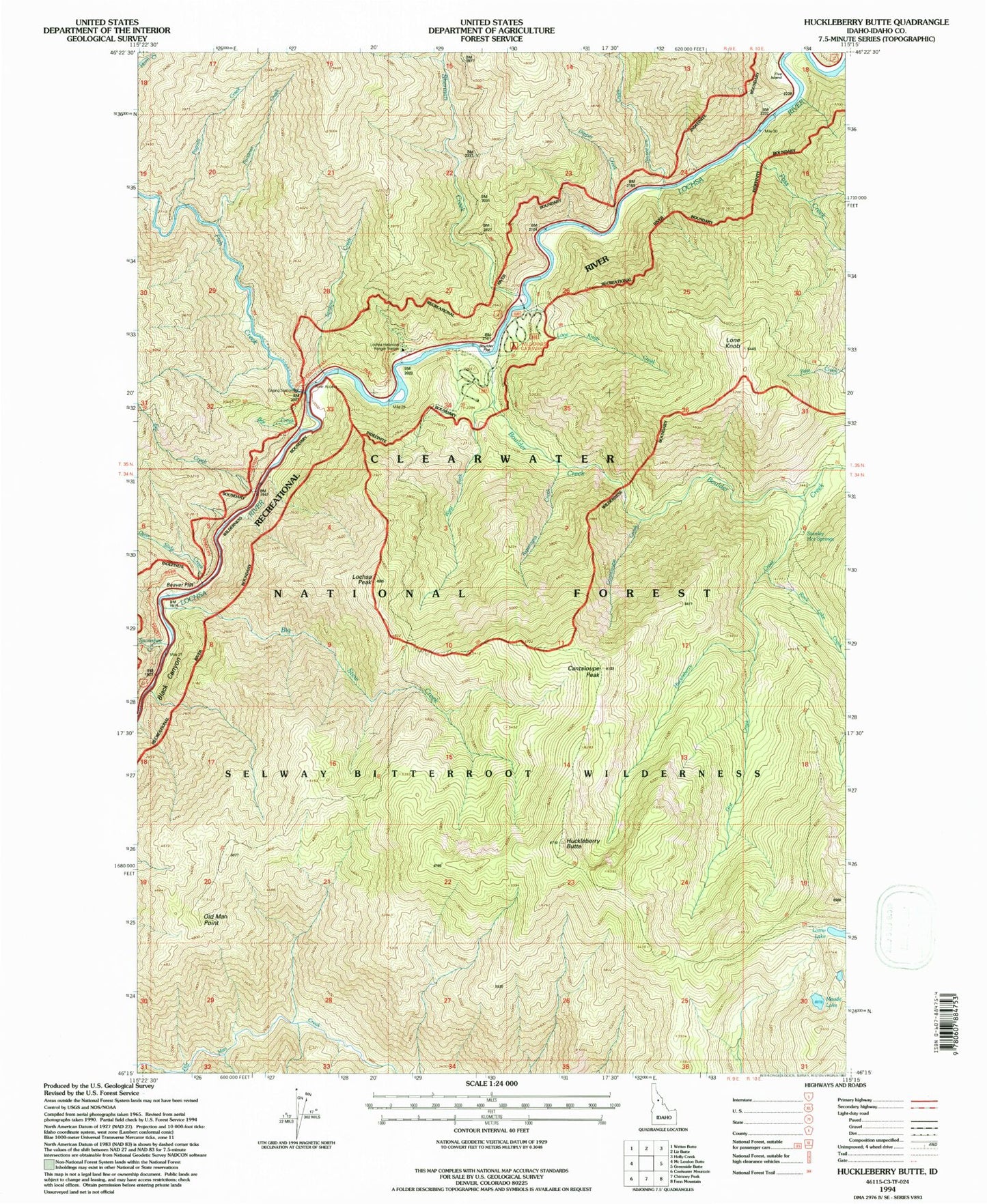
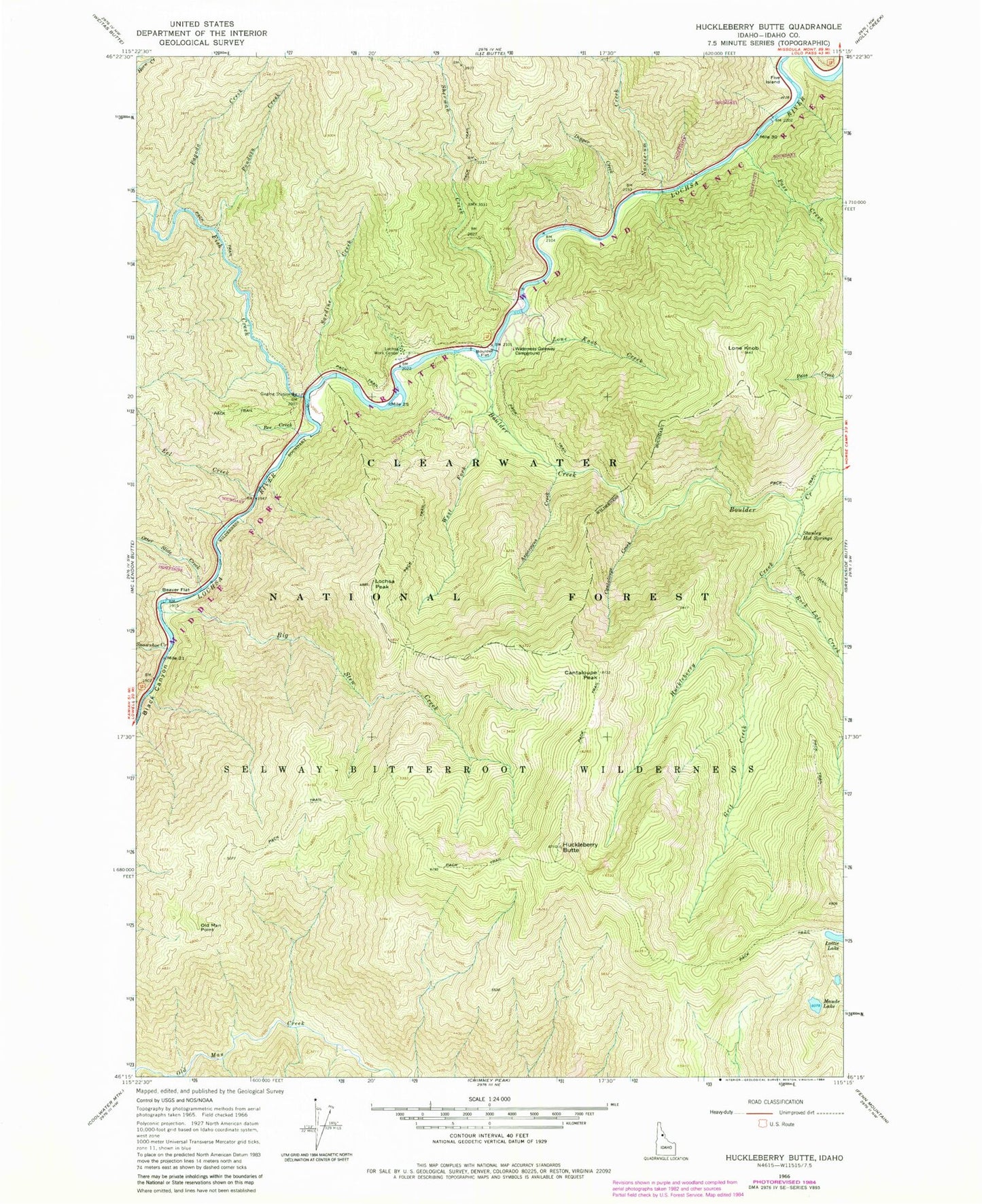
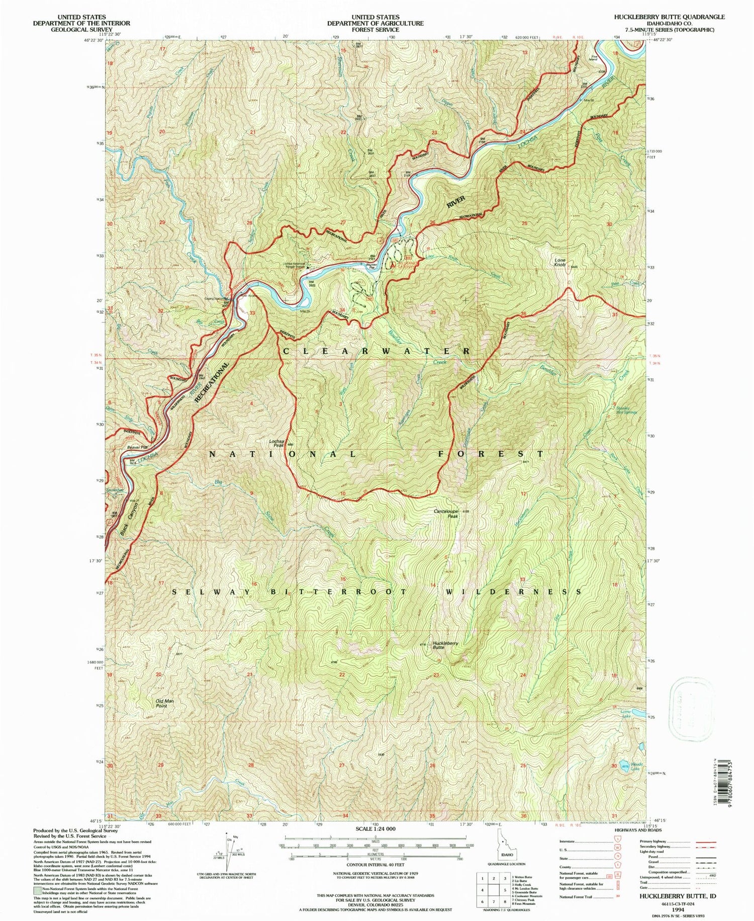
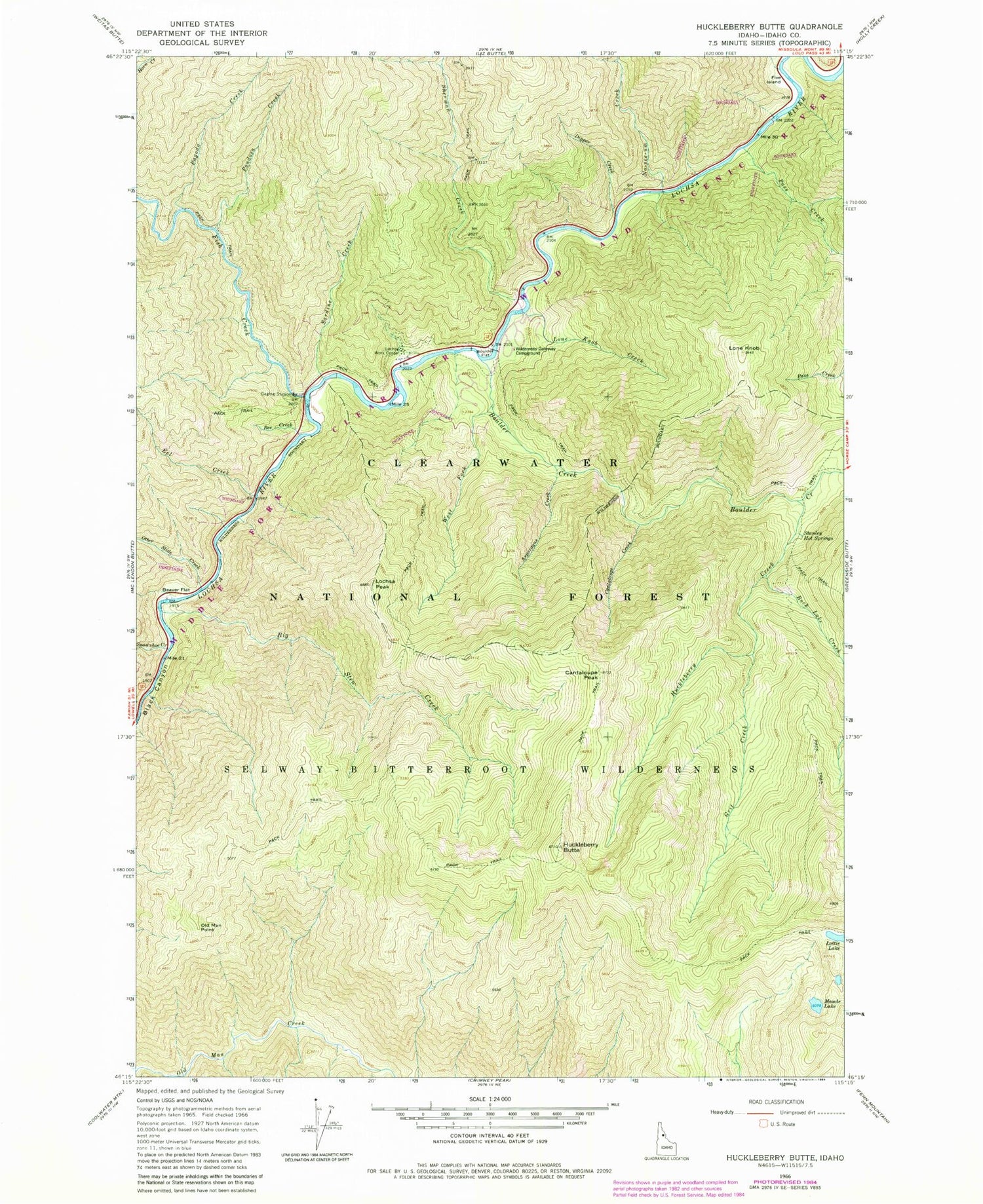
Classic USGS Huckleberry Butte Idaho 7.5'x7.5' Topo Map
Couldn't load pickup availability
Historical USGS topographic quad map of Huckleberry Butte in the state of Idaho. Typical map scale is 1:24,000, but may vary for certain years, if available. Print size: 24" x 27"
This quadrangle is in the following counties: Idaho.
The map contains contour lines, roads, rivers, towns, and lakes. Printed on high-quality waterproof paper with UV fade-resistant inks, and shipped rolled.
Contains the following named places: Beaver Flat, Bee Creek, Big Stew Creek, Boulder Creek, Boulder Flat, Cantaloupe Creek, Dipper Creek, Eel Creek, Fish Creek, Five Island, Grit Creek, Huckleberry Butte, Huckleberry Creek, Lochsa Peak, Lochsa Work Center, Lone Knob, Lone Knob Creek, Lottie Lake, Maude Lake, Old Man Point, Otter Slide Creek, Pagoda Creek, Pass Creek, Pondosa Creek, Rock Lake Creek, Sardine Creek, Sherman Creek, Snowshoe Creek, Stanley Hot Springs, West Fork Boulder Creek, Wilderness Gateway Pack Bridge, Lochsa Historical Station, No-see-um Creek


