MyTopo
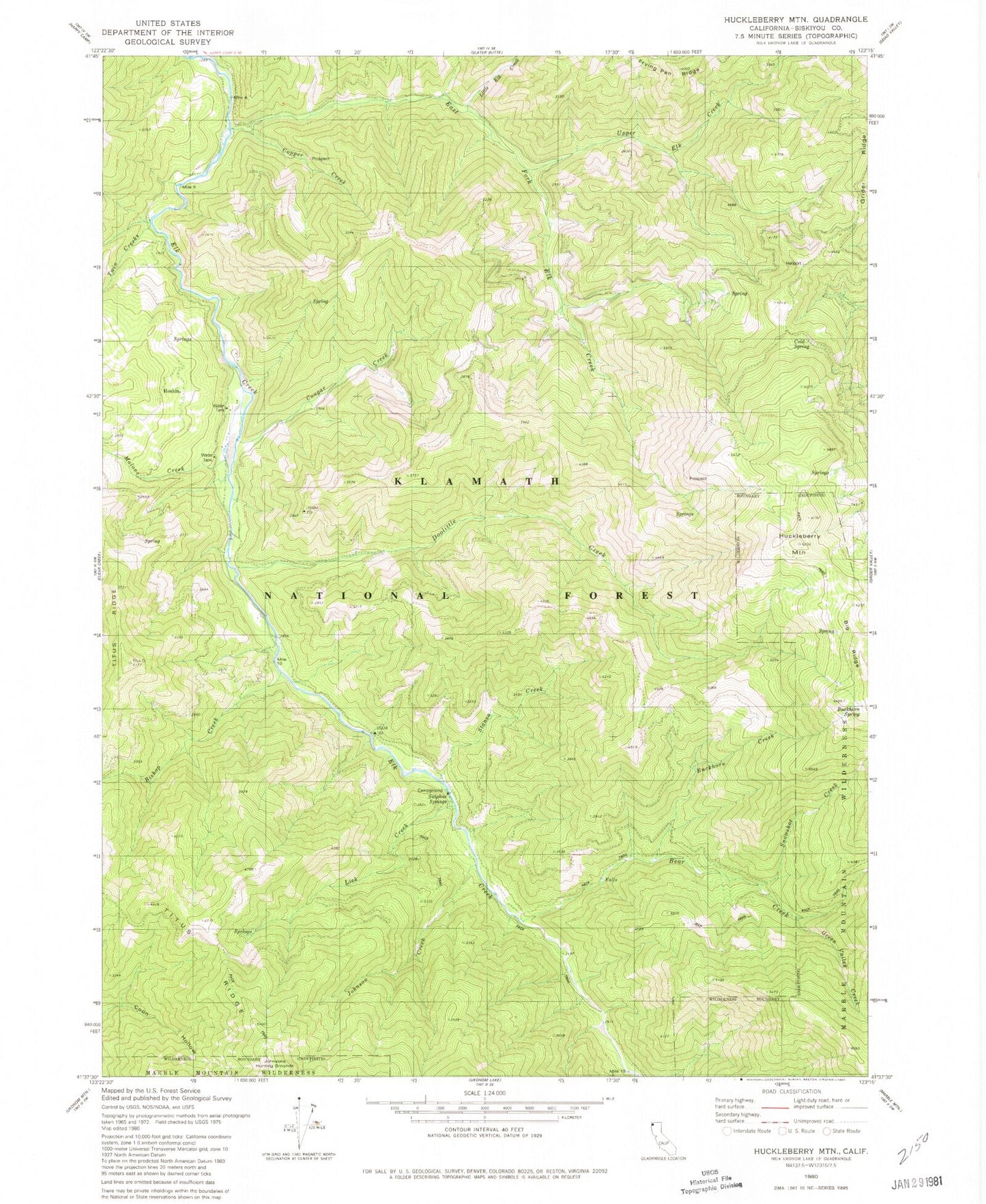
Classic USGS Huckleberry Mountain California 7.5'x7.5' Topo Map
Couldn't load pickup availability
Historical USGS topographic quad map of Huckleberry Mountain in the state of California. Map scale may vary for some years, but is generally around 1:24,000. Print size is approximately 24" x 27"
This quadrangle is in the following counties: Siskiyou.
The map contains contour lines, roads, rivers, towns, and lakes. Printed on high-quality waterproof paper with UV fade-resistant inks, and shipped rolled.
Contains the following named places: Bear Creek, Bishop Creek, Buckhorn Creek, Buckhorn Mountain, Buckhorn Spring, Cold Spring, Copper Creek, Cougar Creek, Doolittle Creek, East Fork Elk Creek, Green Valley, Green Valley Creek, Happy Camp Division, Hoskin, Huckleberry Mountain, Johnson Creek, Lick Creek, Little Elk Creek, Malone Creek, Norcross, Snowshoe Creek, Stanza Creek, Sulphur Spring, Sulphur Springs Campground, Turner Mine, Twin Creeks, Upper Elk Creek