MyTopo
Classic USGS Huckleberry Mountain Washington 7.5'x7.5' Topo Map
Couldn't load pickup availability
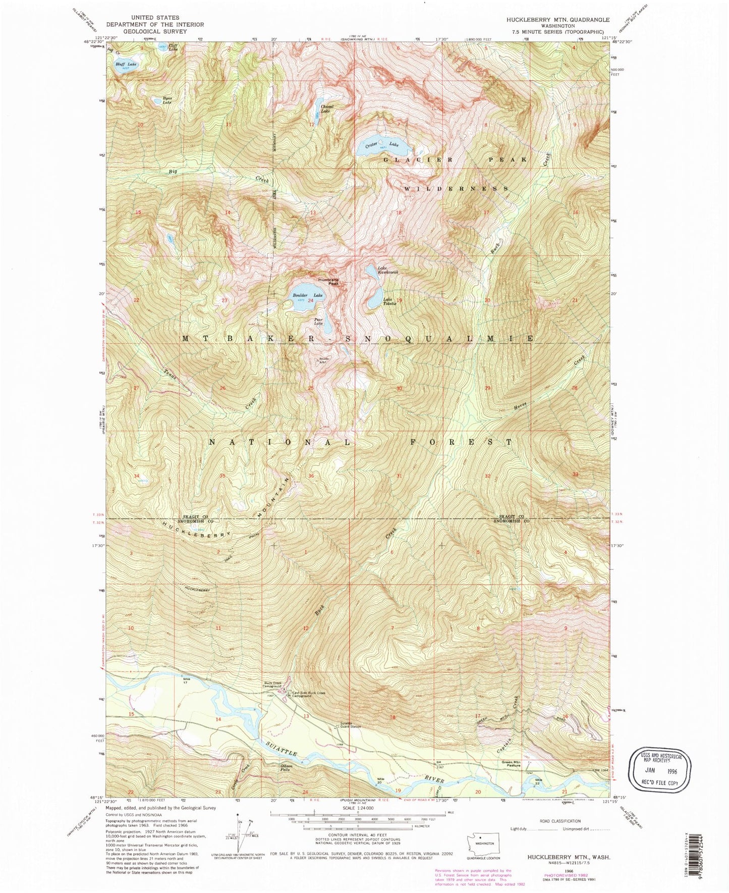
Historical USGS topographic quad map of Huckleberry Mountain in the state of Washington. Typical map scale is 1:24,000, but may vary for certain years, if available. Print size: 24" x 27"
This quadrangle is in the following counties: Skagit, Snohomish.
The map contains contour lines, roads, rivers, towns, and lakes. Printed on high-quality waterproof paper with UV fade-resistant inks, and shipped rolled.
Contains the following named places: Bluff Lake, Boulder Lake, Buck Creek, Buck Creek Campground, Captain Creek, Chaval Lake, Circle Creek, Cliff Lake, Crater Lake, East Side Buck Creek Campground, Gibson Falls, Green Mountain Pasture, Harriet Creek, Horse Creek, Huckleberry Mountain, Hurricane Peak, Hyas Lake, Lake Kawkawak, Lake Toketie, Lime Creek, Pear Lake, Huckleberry Lookout, Suiattle Guard Station