MyTopo
Classic USGS Hudiburgh Reservoir NW Montana 7.5'x7.5' Topo Map
Couldn't load pickup availability
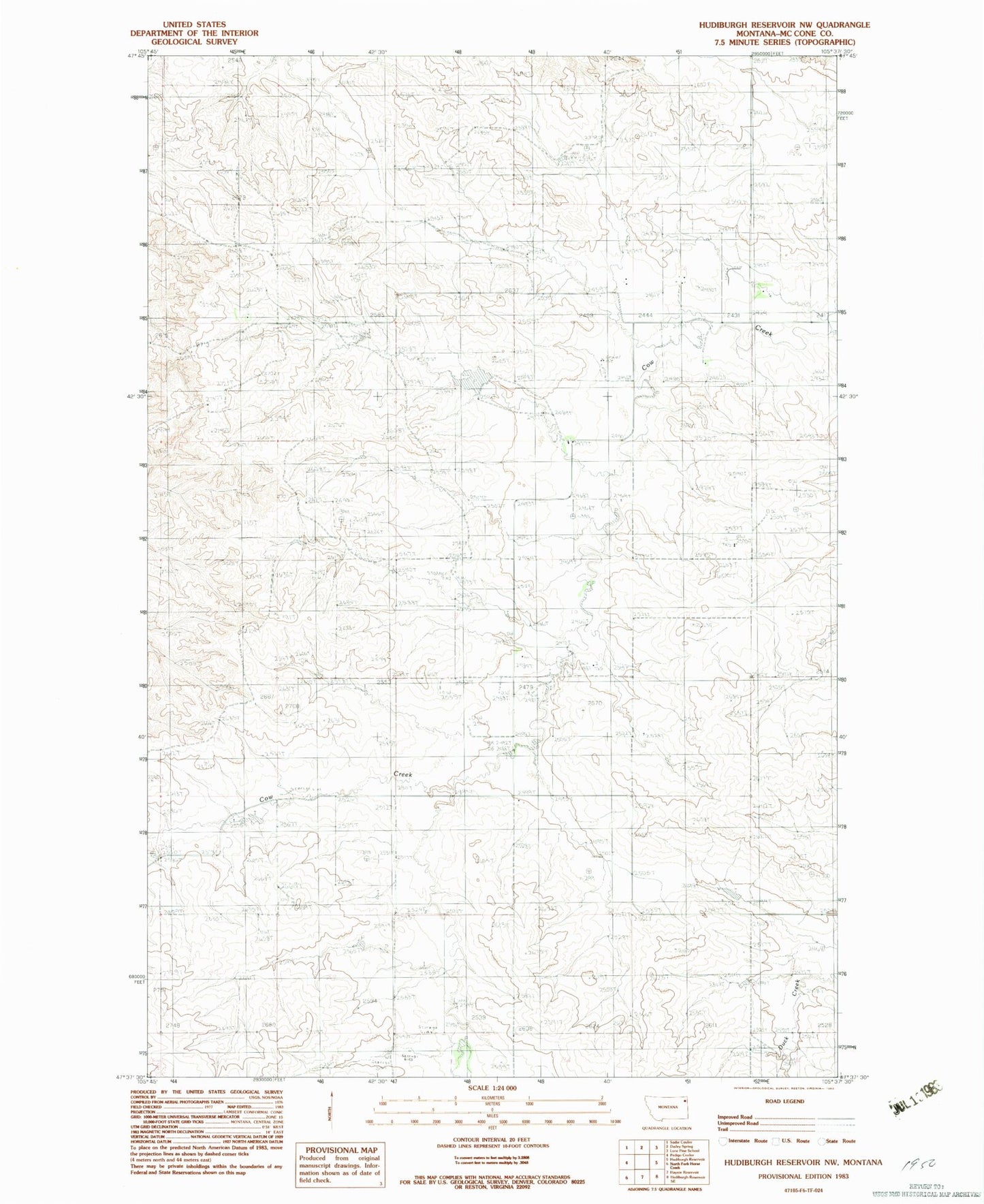
Historical USGS topographic quad map of Hudiburgh Reservoir NW in the state of Montana. Map scale may vary for some years, but is generally around 1:24,000. Print size is approximately 24" x 27"
This quadrangle is in the following counties: McCone.
The map contains contour lines, roads, rivers, towns, and lakes. Printed on high-quality waterproof paper with UV fade-resistant inks, and shipped rolled.
Contains the following named places: 22N47E01ACAD01 Well, 22N47E03BAAA01 Well, 22N47E14BCCD01 Well, 22N47E19ABBD01 Well, 22N47E21CDCC01 Well, 22N47E21CDCC02 Well, 22N47E22BBBC01 Well, 22N47E23DDBC01 Well, 22N47E26ADAD01 Well, 22N47E26DAAA01 Well, 22N47E28CADD01 Well, 22N47E30BD__01 Well, 22N47E36BACB01 Well, 23N47E21CA__01 Well, 23N47E29DCBB01 Well, 23N47E33ADCD01 Well, Blackjack Spring, Cow Creek Post Office, Hamblin, Hamblin Post Office, Hamblin School, Howard Dam, McCone Post Office