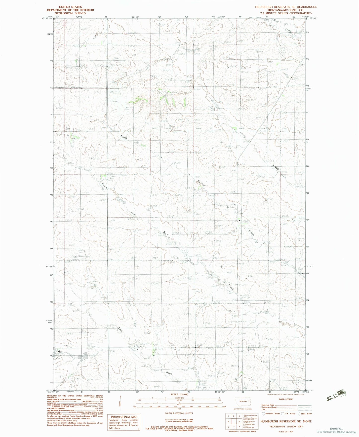
MyTopo
Classic USGS Hudiburgh Reservoir SE Montana 7.5'x7.5' Topo Map
Couldn't load pickup availability
Historical USGS topographic quad map of Hudiburgh Reservoir SE in the state of Montana. Map scale may vary for some years, but is generally around 1:24,000. Print size is approximately 24" x 27"
This quadrangle is in the following counties: McCone.
The map contains contour lines, roads, rivers, towns, and lakes. Printed on high-quality waterproof paper with UV fade-resistant inks, and shipped rolled.
Contains the following named places: 20N48E01AADB01 Well, 20N48E02CCCC01 Well, 20N48E02CCCC02 Well, 20N48E04ACDC01 Well, 20N48E04DCDD01 Well, 20N48E08AAAC01 Well, 20N48E08AAAC02 Well, 20N48E08AABA01 Well, 20N48E10ABAB01 Well, 20N48E10ABAB02 Well, 20N48E11BBCC01 Well, 20N48E11BBCC02 Well, 20N49E06BDBD01 Well, 20N49E07CBCA01 Well, 21N48E02ADDD01 Well, 21N48E09BACA01 Well, 21N48E10BDDD01 Well, 21N48E10DDDC01 Well, 21N48E10DDDC02 Well, 21N48E12BBCB01 Well, 21N48E12BBDC01 Well, 21N48E15ADBD01 Well, 21N48E22BCAC01 Well, 21N48E22CCCD01 Well, 21N48E22DDAB01 Well, 21N48E25BABB01 Well, 21N48E26BBBC01 Well, 21N48E26BBCC01 Well, 21N48E26BBCD01 Well, 21N48E27BDCC01 Well, 21N48E30CDAA01 Well, 21N48E31DACB01 Well, 22N48E34DDDC01 Well, Lost Creek, Pawlowski Number 1 Dam