
MyTopo
Classic USGS Hudson Louisiana 7.5'x7.5' Topo Map
Regular price
$16.95
Regular price
Sale price
$16.95
Unit price
per
Couldn't load pickup availability
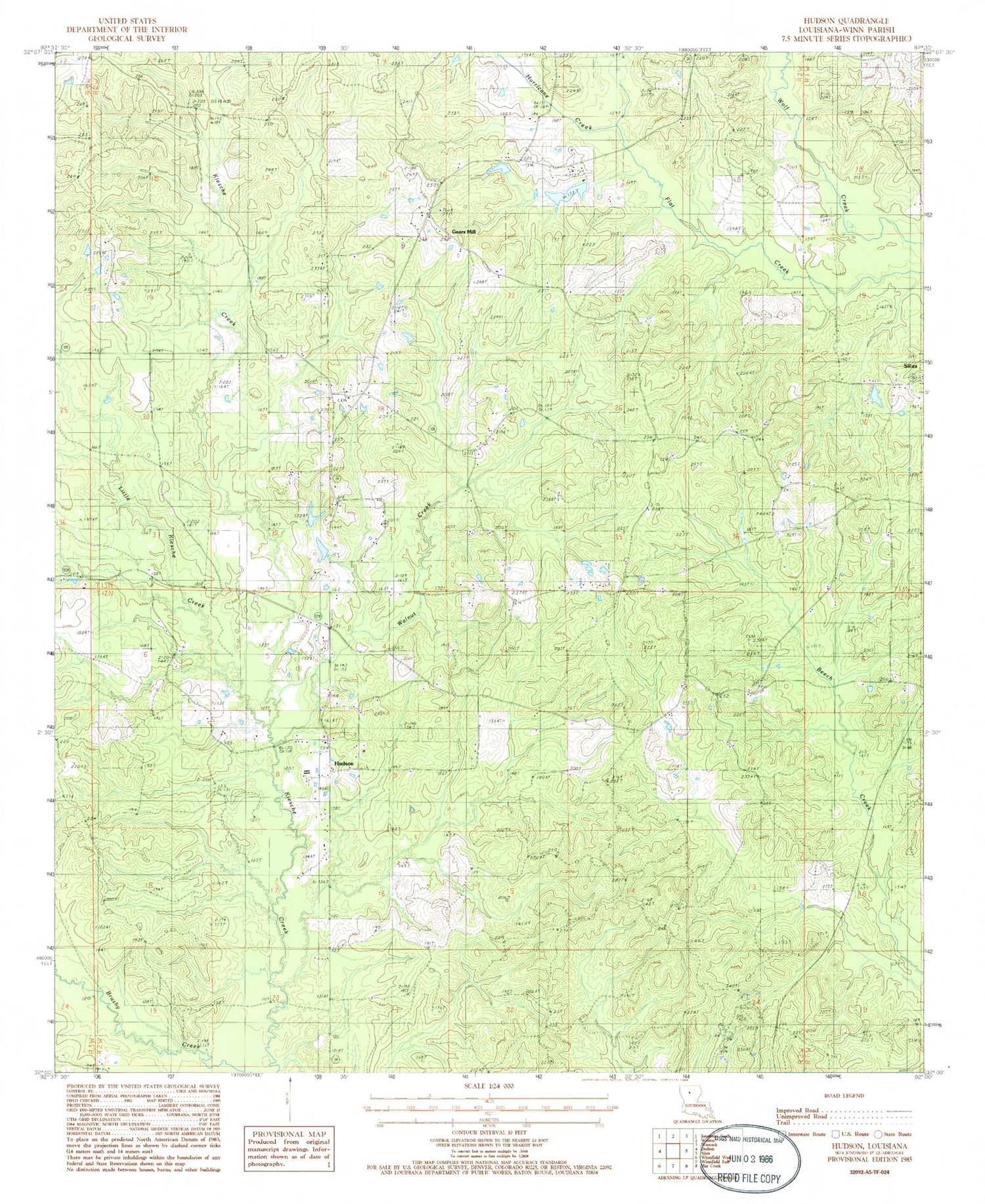
Historical USGS topographic quad map of Hudson in the state of Louisiana. Map scale may vary for some years, but is generally around 1:24,000. Print size is approximately 24" x 27"
This quadrangle is in the following counties: Winn.
The map contains contour lines, roads, rivers, towns, and lakes. Printed on high-quality waterproof paper with UV fade-resistant inks, and shipped rolled.
Contains the following named places: Beech Creek Gas Field, Friendship Church, Gaars Mill, Gaars Mill School, Harmony Grove Church, Hudson, Hurricane Creek, Joyce Oil Field, Kelly Front, Little Kiesche Creek, McCarty Cemetery, New Hope Church, Parish Governing Authority District 5, Walnut Creek


