MyTopo
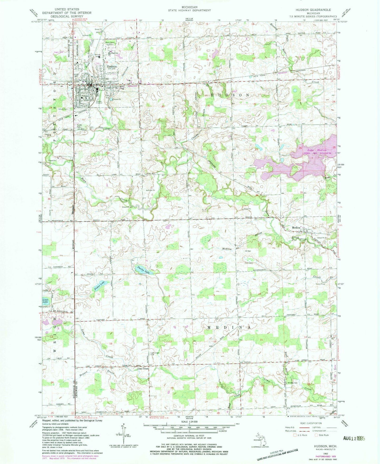
Classic USGS Hudson Michigan 7.5'x7.5' Topo Map
Couldn't load pickup availability
Historical USGS topographic quad map of Hudson in the state of Michigan. Map scale may vary for some years, but is generally around 1:24,000. Print size is approximately 24" x 27"
This quadrangle is in the following counties: Hillsdale, Lenawee.
The map contains contour lines, roads, rivers, towns, and lakes. Printed on high-quality waterproof paper with UV fade-resistant inks, and shipped rolled.
Contains the following named places: Bear Lake, Bennet Drain, Brown Cemetery, Calvary Cemetery, Camp Drain, Childs Drain, City of Hudson, Covell Lake, Durfee Lake, Dvoracek Field, Evergreen Golf Course, Faith Assembly of God Church, First Baptist Church, First Congregational Church, First United Methodist Church, Fisher Lake, Garrison Drain, Henning Drain, Hudson, Hudson Area Ambulance, Hudson Bible Holiness Church, Hudson Fire Department, Hudson Middle/High School, Hudson Museum, Hudson Police Department, Hudson Post Office, Hudson Public Library, Hudson Station, J B Drain, Lake Hudson, Lake Hudson State Park, Leffingwell Estates Mobile Home Park, Lime Creek, Lime Creek Cemetery, Limecreek Post Office, Lincoln School, Mallory Lake Drain, Maple Grove Cemetery, Medina, Medina Cemetery, Medina Drain, Medina Federated Church, Medina Park, Medina Post Office, Old City Cemetery, Old Sacred Heart Church Cemetery, Open Door Bible Church, Our Saviour's Lutheran Church, Root Drain, Sacred Heart Catholic Church, Sacred Heart School, Stockwell Mausoleum, Thompson Memorial Park, Thorn Hospital Heliport, Thornhill Baptist Church, Toad Creek, Township of Hudson, Township of Medina, Webster's Park, Wesleyan Church, Whitney Cemetery, Will Carleton Park, Wolfe Cemetery, Ziegler Field, ZIP Code: 49247


