MyTopo
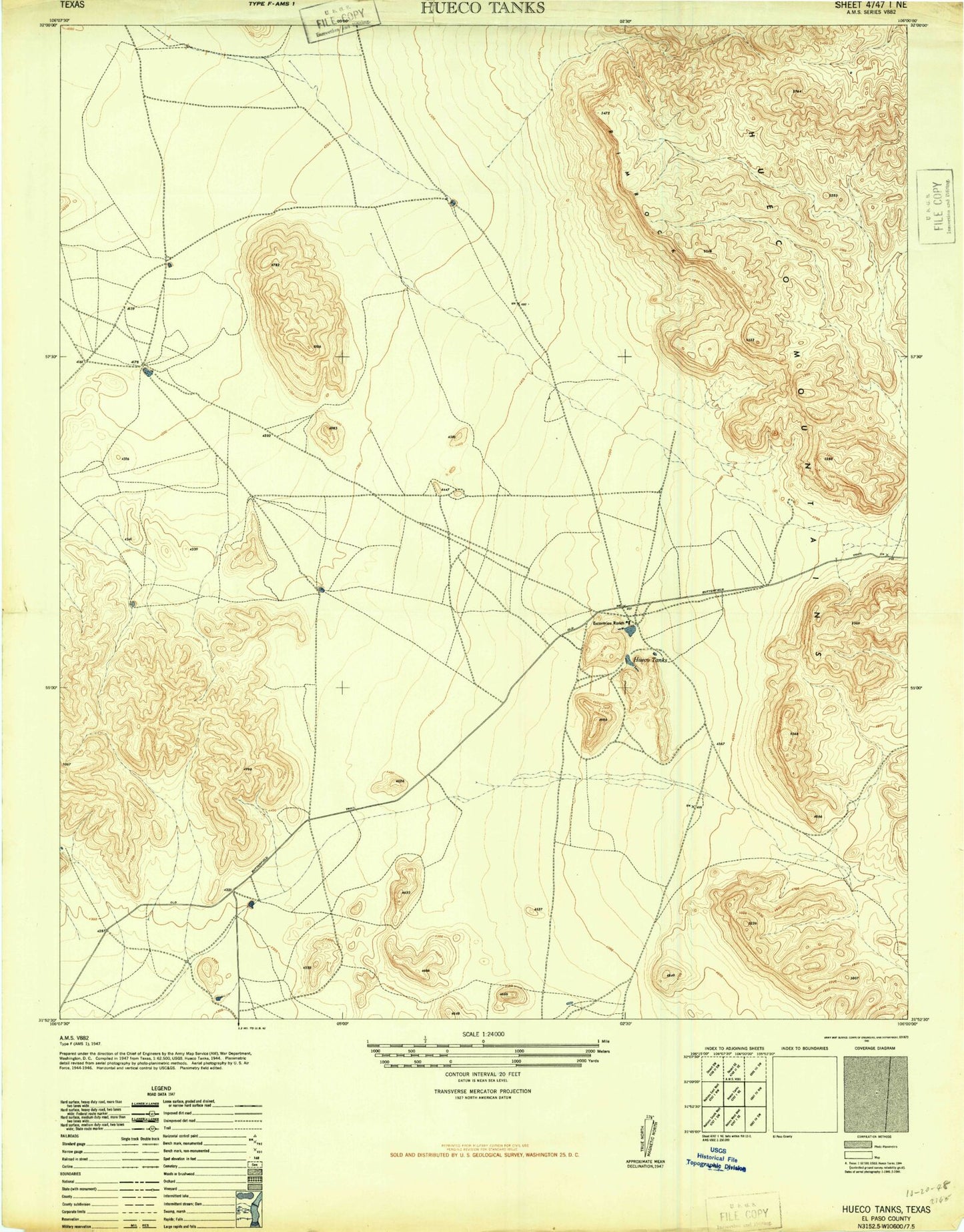
Classic USGS Hueco Tanks Texas 7.5'x7.5' Topo Map
Couldn't load pickup availability
Historical USGS topographic quad map of Hueco Tanks in the state of Texas. Map scale may vary for some years, but is generally around 1:24,000. Print size is approximately 24" x 27"
This quadrangle is in the following counties: El Paso.
The map contains contour lines, roads, rivers, towns, and lakes. Printed on high-quality waterproof paper with UV fade-resistant inks, and shipped rolled.
Contains the following named places: Coyote Tank, Deer Tank, Eighteen Tank, Hackberry Canyon, Hidden Tank, Hueco Mountain Estates Number 1 Colonia, Hueco Mountain Estates Number 2 Colonia, Hueco Mountain Estates Number 3 Colonia, Hueco Mountain Estates Number 4 Colonia, Hueco Mountain Estates Number 5 Colonia, Hueco Mountain Estates Number 6 Colonia, Hueco Mountain Estates Number 7 Colonia, Hueco Mountain Estates Number 8 Colonia, Hueco Mountains, Hueco Tanks, Hueco Tanks State Historical Park, Hueco Tanks State Historical Park Trail, Jarilla Tank, Kerby Tank, Mesquite Tank, Ramons Tank, Ross Tank, Ysleta del Sur Pueblo