MyTopo
Classic USGS Hughes Canyon Texas 7.5'x7.5' Topo Map
Regular price
$16.95
Regular price
Sale price
$16.95
Unit price
per
Couldn't load pickup availability
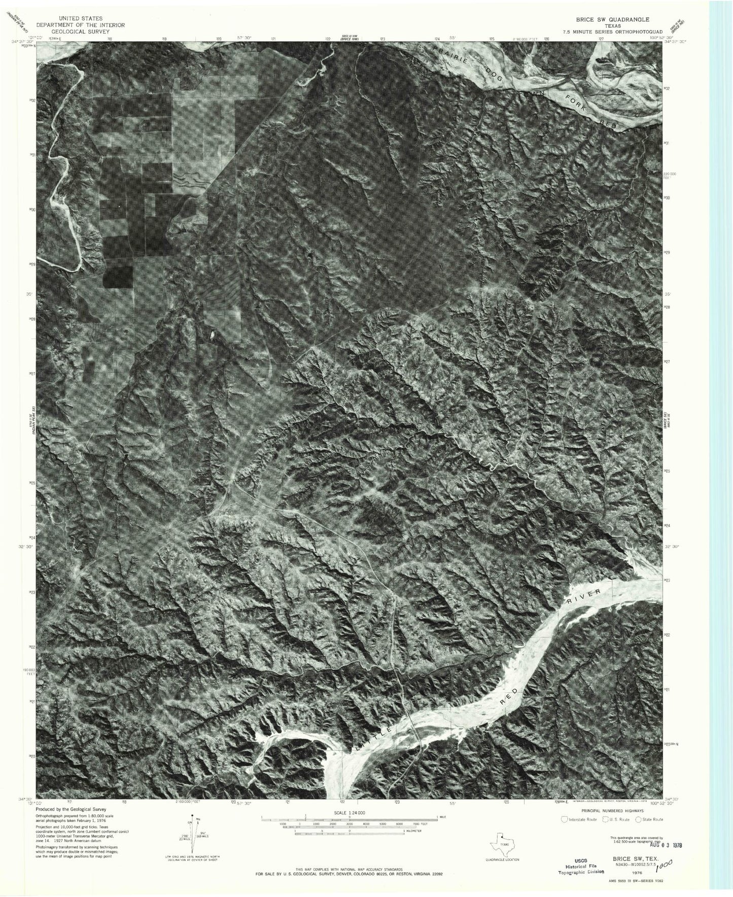
Historical USGS topographic quad map of Hughes Canyon in the state of Texas. Map scale may vary for some years, but is generally around 1:24,000. Print size is approximately 24" x 27"
This quadrangle is in the following counties: Briscoe, Hall.
The map contains contour lines, roads, rivers, towns, and lakes. Printed on high-quality waterproof paper with UV fade-resistant inks, and shipped rolled.
Contains the following named places: Antelope Flats, Antelope Tank, Bitter Creek, Bluff Creek, Cottonwood Canyon, Dogie Tank, Dogle Canyon, Harness Tanks, Hughes Canyon, Lazy U Ranch, Mexican Creek, Mulberry Creek, Panther Creek, Reed Tank, Shoe Bar Ranch, Turkey Creek, Wildcat Tanks