MyTopo
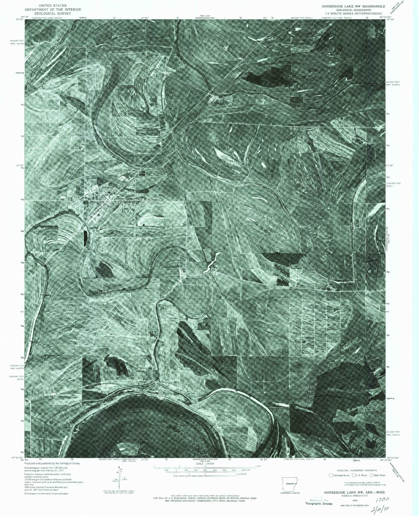
Classic USGS Hughes Arkansas 7.5'x7.5' Topo Map
Couldn't load pickup availability
Historical USGS topographic quad map of Hughes in the state of Arkansas. Map scale may vary for some years, but is generally around 1:24,000. Print size is approximately 24" x 27"
This quadrangle is in the following counties: Crittenden, Lee, St. Francis, Tunica.
The map contains contour lines, roads, rivers, towns, and lakes. Printed on high-quality waterproof paper with UV fade-resistant inks, and shipped rolled.
Contains the following named places: Beck, Beck Bayou, Beck Church, Beck School, Belle Meade, Bright Future Farm, Cain Lake, City of Hughes, Crooked Bayou, Davis Biggs Farm, Deer Lake Farm, Goose Lake, Green River Church, Green River Plantation, Haltree Bayou, Highland Farm, Hughes, Hughes Elementary School, Hughes High School, Hughes Landing Strip, Hughes Police Department, Hughes Post Office, Hughes Volunteer Fire Department, Joe Beck Plantation, Midway, Mildred Jackson Elementary School, Millseed Lake, New Hope Farm, Nickey, North Hughes, Otter Slough, Penjur, Red Gum Church, Red Gum Farm, Reese, Saint Johns Church, Saint Lukes Church School, Saint Marys Cemetery, Saint Marys Missionary Church School, Saint Marys School, Sweet Home Church, Sycamore Bend Farm, Taylor Lake, Township of Garland, Tucker Field, Tucker Plantation, Windmill Church, ZIP Code: 72348