MyTopo
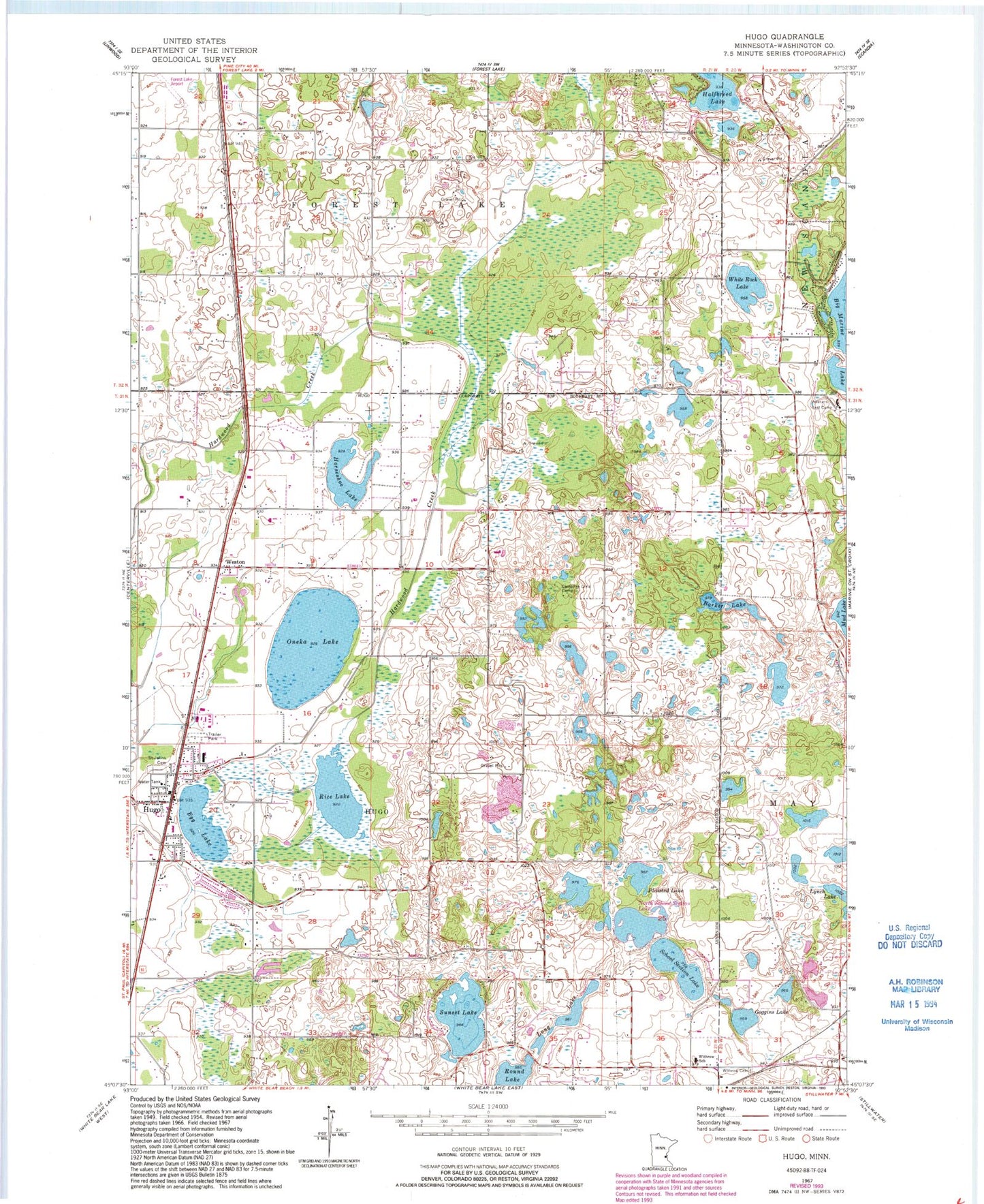
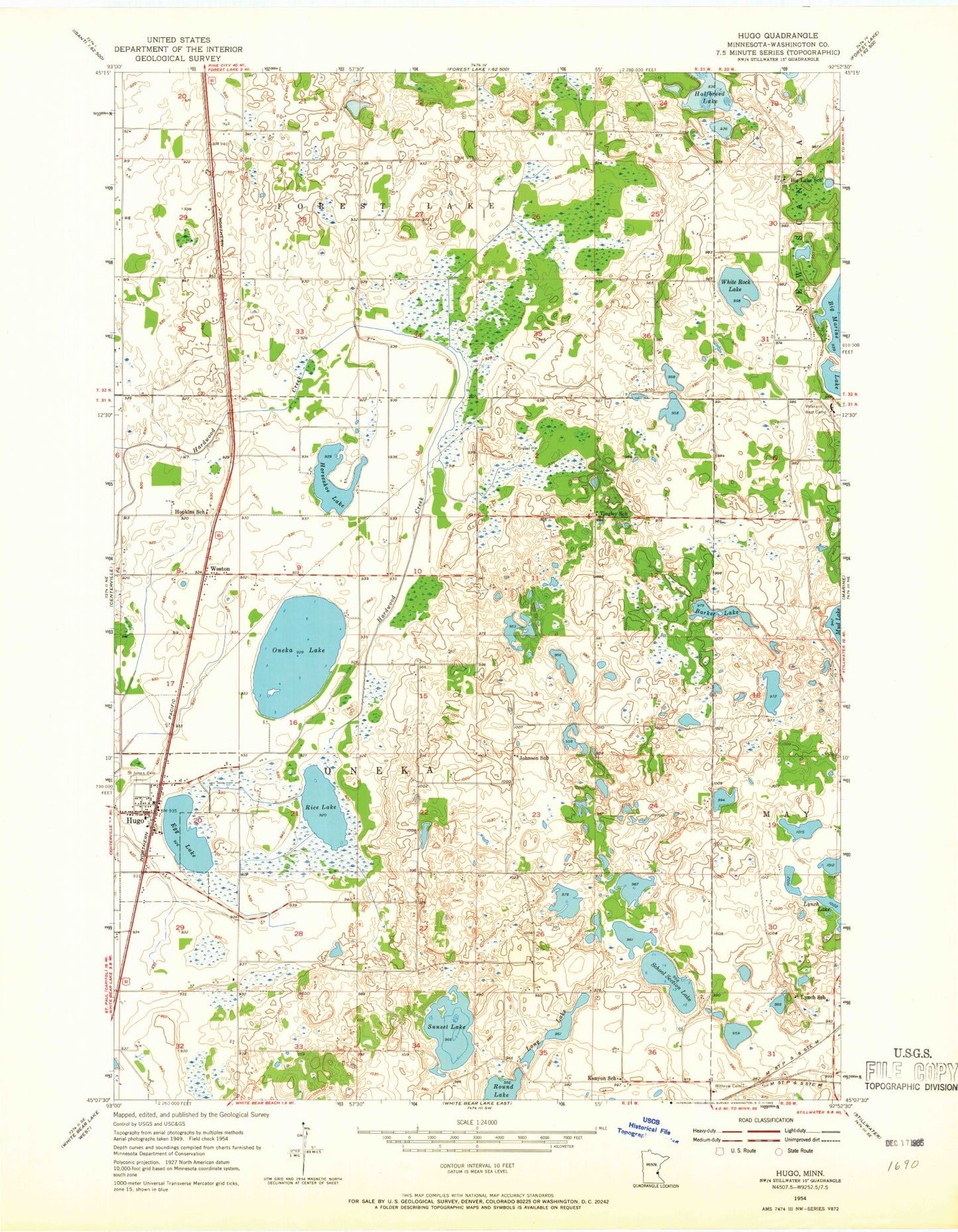
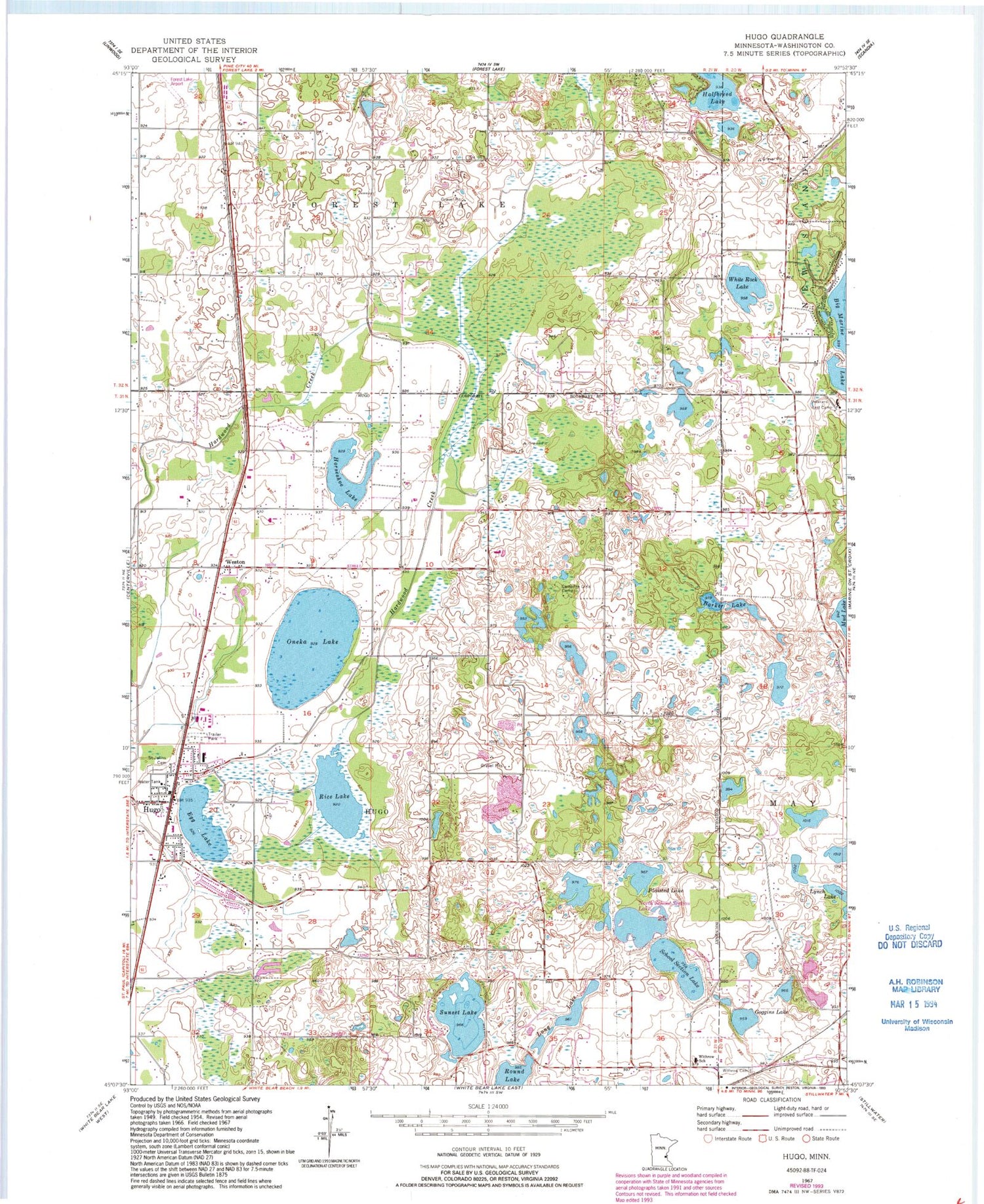
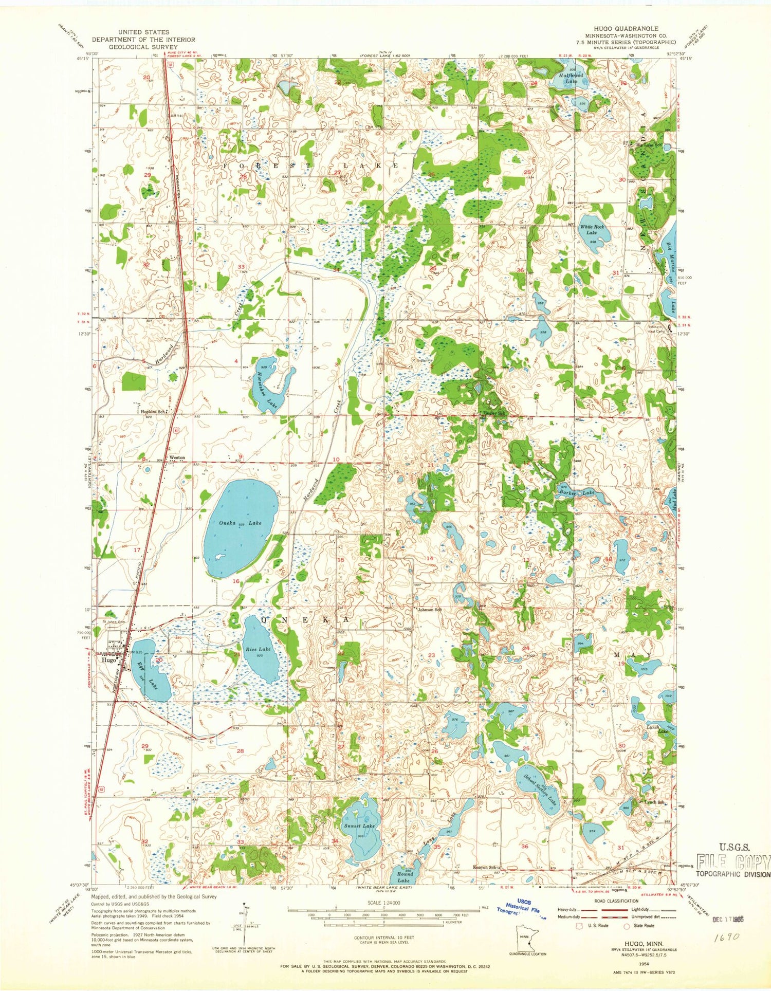
Classic USGS Hugo Minnesota 7.5'x7.5' Topo Map
Couldn't load pickup availability
Historical USGS topographic quad map of Hugo in the state of Minnesota. Map scale may vary for some years, but is generally around 1:24,000. Print size is approximately 24" x 27"
This quadrangle is in the following counties: Washington.
The map contains contour lines, roads, rivers, towns, and lakes. Printed on high-quality waterproof paper with UV fade-resistant inks, and shipped rolled.
Contains the following named places: Barker Lake, Campfire Girls Camp, City of Hugo, Egg Lake, Forest Lake Airport, Goggins Lake, Horseshoe Lake, Hosanna Lutheran Church, Hugo, Hugo City Hall, Hugo Elementary School, Hugo Fire Department, Hugo Post Office, Jehovah's Witnesses Congregation, Kelly Farms Dam, Lake Keewahtin, Long Lake, Lynch Lake, Maple Marsh Lake, New Life Lutheran Church, North School Section Lake, Oneka Lake, Oneka Ridge Golf Course, Plaisted Lake, Rice Lake, Round Lake, Saint John the Baptist Church, Saint John's Cemetery, School Section Lake, Sunset Lake, Tanners Brook Golf Course, Twin Pine Mobile Home Park, Veterans Rest Camp, Walker Cemetery, Weston, White Bear Lake Church, White Rock Lake, Withrow Cemetery, Withrow Elementary School, ZIP Code: 55038


