MyTopo
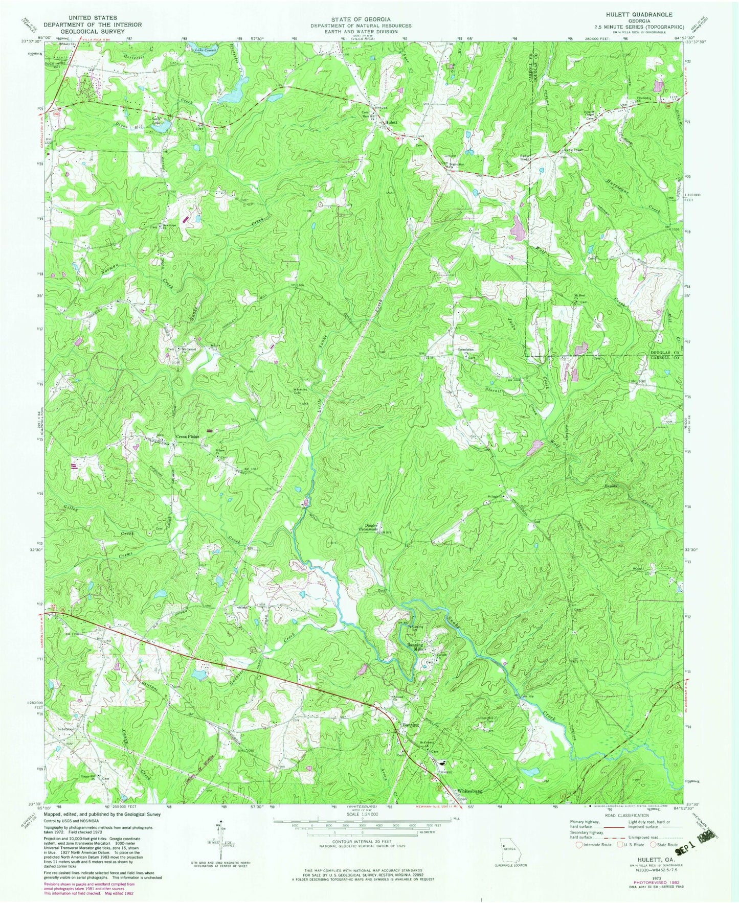
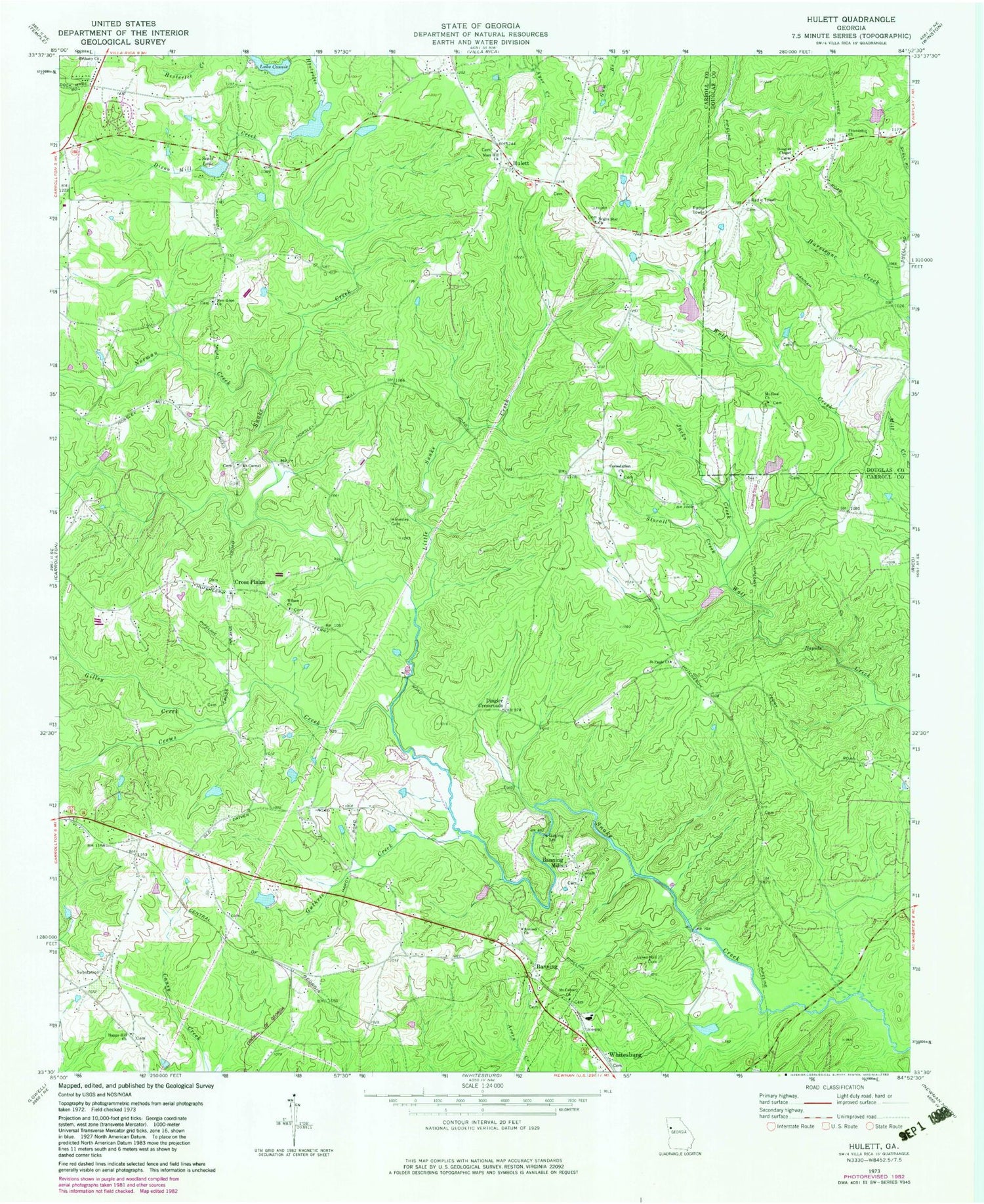
Classic USGS Hulett Georgia 7.5'x7.5' Topo Map
Couldn't load pickup availability
Historical USGS topographic quad map of Hulett in the state of Georgia. Typical map scale is 1:24,000, but may vary for certain years, if available. Print size: 24" x 27"
This quadrangle is in the following counties: Carroll, Douglas.
The map contains contour lines, roads, rivers, towns, and lakes. Printed on high-quality waterproof paper with UV fade-resistant inks, and shipped rolled.
Contains the following named places: Lake Connie, Crews Creek, Dixon Mill Creek, Friendship Church, Gilley Creek, Guthrie Creek, Hesterlee Creek, Hinesley Cemetery, Jacks Creek, Jones Mill Cemetery, Little Snake Creek, Mars Hill Church, Mount Calvary Church, Mount Carmel Church, Mount Sinai Church, New Hope Church, Norman Creek, Saint Pauls Church, Seals Lake, Stovall Creek, Wilson Church, Dingler Crossroads, Janes Lake Dam, Janes Lake, Seals Dam, J L Lawhon Dam, Green Lake Dam, Green Lake, Strickland Lake Dam, Strickland Lake, Law Lake Dam, Law Lake, Lake Connie Dam, Richards Lake Dam, Richards Lake, Jordan Memorial Cemetery, Happy Hill Cemetery, Hodge (historical), Lewis Chapel (historical), Mars Hill Cemetery, Midway School (historical), Smisson Field, Mount Airey School (historical), Mount Avery Baptist Church (historical), Mount Avery Cemetery, Mount Calvary Cemetery, Mount Carmel Cemetery, New Hope Cemetery, Bright Star Cemetery, Saint Paul Cemetery, Whitesburg Cemetery, Wilson Cemetery, Antioch Cemetery, Bethany Cemetery, Center School (historical), Consolidation Cemetery, Corinth Cemetery, Cross Plains Cemetery, Cross Plains Baptist Cemetery, Cross Plains Church, Cross Plains Church, Enoly Crossroads, Erlen Airport, Kolibri Airport, Lyons Landing, Consolation Church, Antioch Baptist Church, Banning, Banning Mills, Bethany Christian Church, Bright Star Church, Corinth Church, Cross Plains, Douglas Chapel, Happy Hill Church, Tyree, Emily (historical), Lang (historical), Whitesburg Division, Banning Church of God Cemetery, Harper Cemetery


