MyTopo
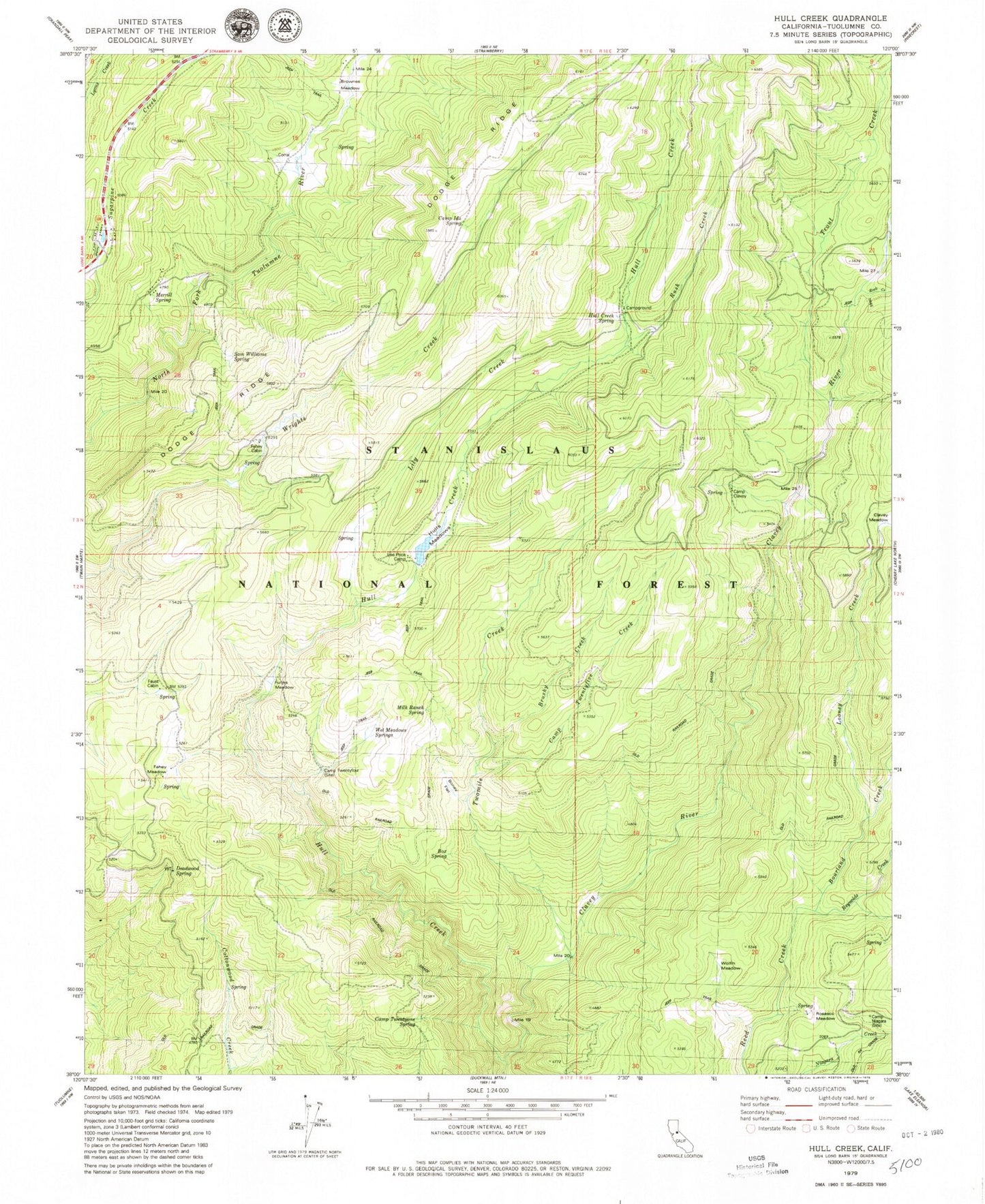
Classic USGS Hull Creek California 7.5'x7.5' Topo Map
Couldn't load pickup availability
Historical USGS topographic quad map of Hull Creek in the state of California. Typical map scale is 1:24,000, but may vary for certain years, if available. Print size: 24" x 27"
This quadrangle is in the following counties: Tuolumne.
The map contains contour lines, roads, rivers, towns, and lakes. Printed on high-quality waterproof paper with UV fade-resistant inks, and shipped rolled.
Contains the following named places: Bone Flat, Bourland Creek, Box Spring, Brownes Meadow, Brushy Creek, Camp Clavey, Camp Ida Spring, Camp Niagara, Camp Twentyfive Creek, Camp Twentyfour, Camp Twentyone Spring, Deadwood, Deadwood Spring, Fahey Cabin, Fahey Meadow, Faust Cabin, Funks Meadow, Hull Creek Spring, Hulls Meadows, Lee Price Camp, Looney Creek, Merrill Spring, Milk Ranch Spring, Rosasco Meadow, Reynolds Creek, Rock Creek, Rush Creek, Hull Creek, Trout Creek, Twomile Creek, Wet Meadows Springs, Wolfin Meadow, Hull Creek Campground, Sam Williams Spring