MyTopo
Classic USGS Hull Iowa 7.5'x7.5' Topo Map
Couldn't load pickup availability
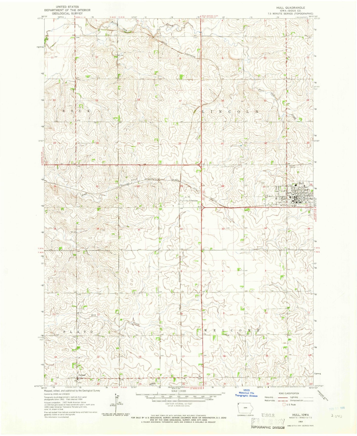
Historical USGS topographic quad map of Hull in the state of Iowa. Map scale may vary for some years, but is generally around 1:24,000. Print size is approximately 24" x 27"
This quadrangle is in the following counties: Sioux.
The map contains contour lines, roads, rivers, towns, and lakes. Printed on high-quality waterproof paper with UV fade-resistant inks, and shipped rolled.
Contains the following named places: American Reformed Church, Bar K Farms, Boeve Pork Farm, Boyden - Hull Junior / High School, Carmel, Carmel Church, Carmel Post Office, Carmel Reformed Church Cemetery, City of Hull, De Jager Farm, East Valley Farm, Ewoldt Chiropractic Clinic, First Christian Reformed Church, First Reformed Church, Flatland Farm, Fluit Dairy, G and J Farms, Harmon Farms, Heritage Netherlands Reformed Church, Hope Cemetery, Hope Christian Reformed Church, Hull, Hull Christian School, Hull City Fire Department, Hull Cooperative Association Elevator, Hull Family Physicians Building, Hull Police Department, Hull Post Office, Hull Protestant Reformed Christian School, Hull Public Library, Kooi Farm, Kroese Farm, Little Town Dairy, M and M Dairy, May Bell Post Office, Oostenink Farms, Perkins, Perkins Post Office, Pioneer Cemetery, Pleasant Acres Care Center, Protestant Reformed Church, R and J Hog Farm, Rolling Hills Country Club, Royal Ridge Post Office, Saint Joseph Cemetery, Sioux Center Municipal Airport, Sunrise Feedlot, Township of Lincoln, Township of Welcome, Van Grouw Dairy, Van Roekel Family Farm, Western Christian High School, ZIP Code: 51239


