MyTopo
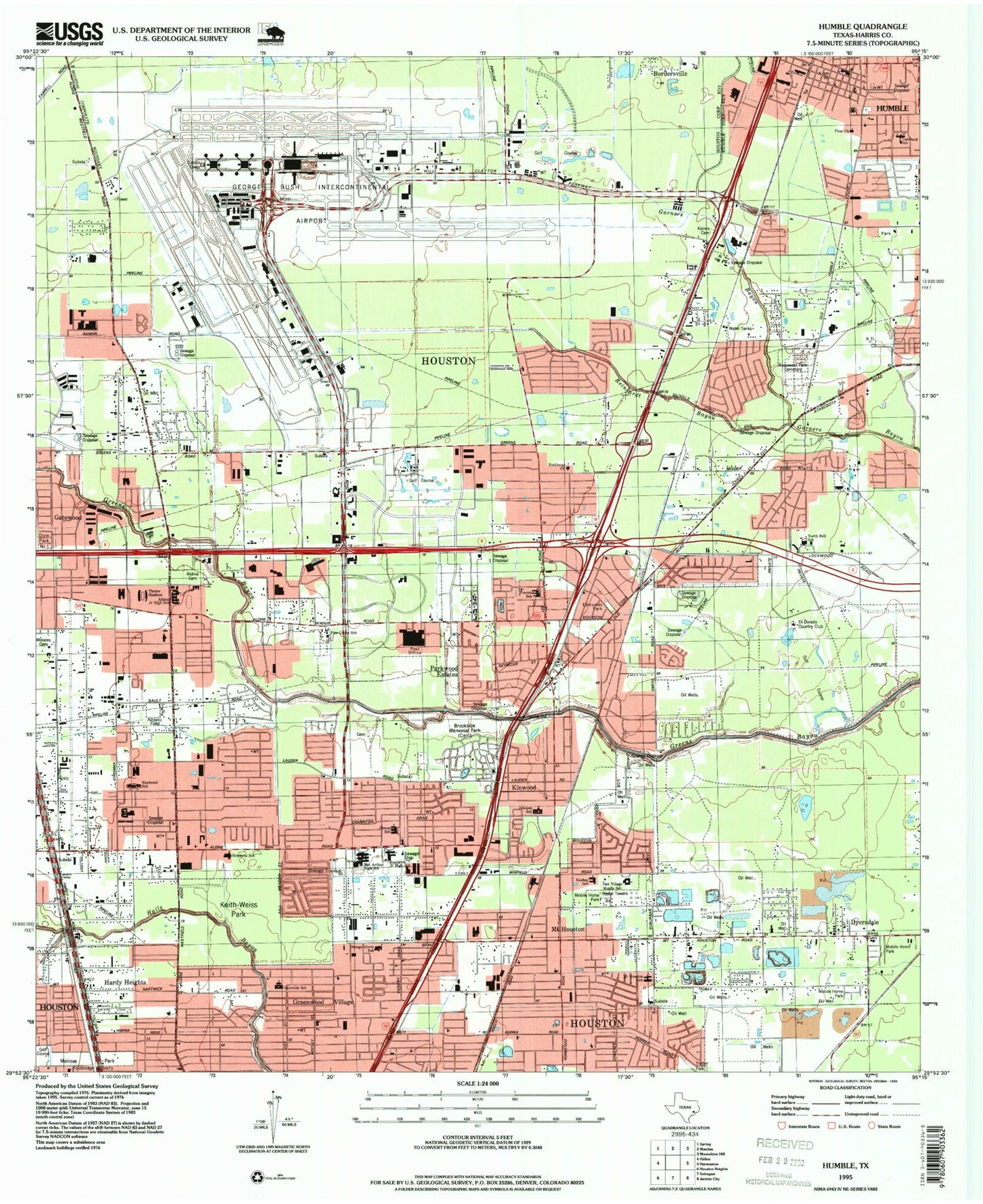
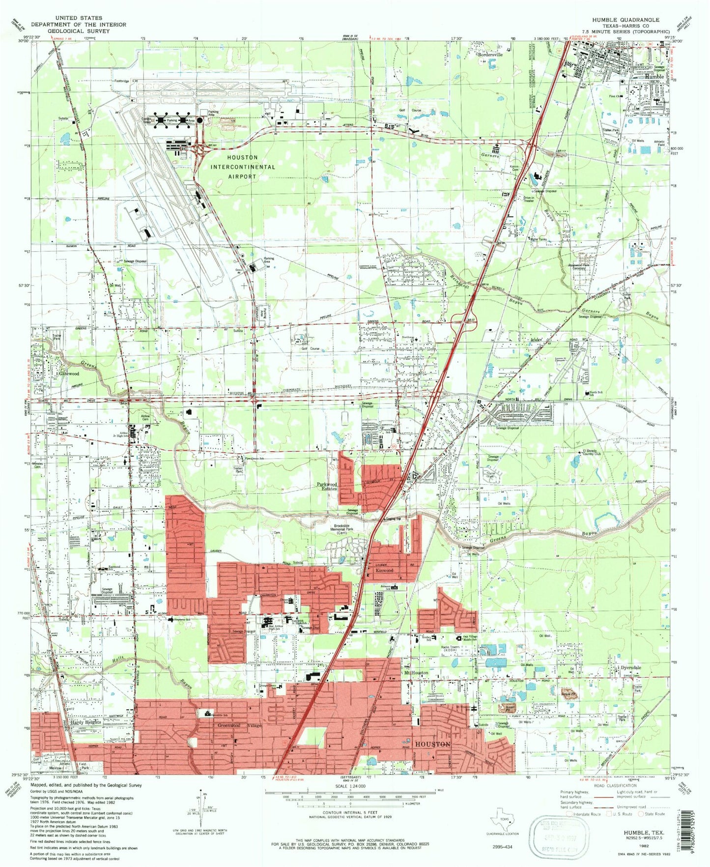
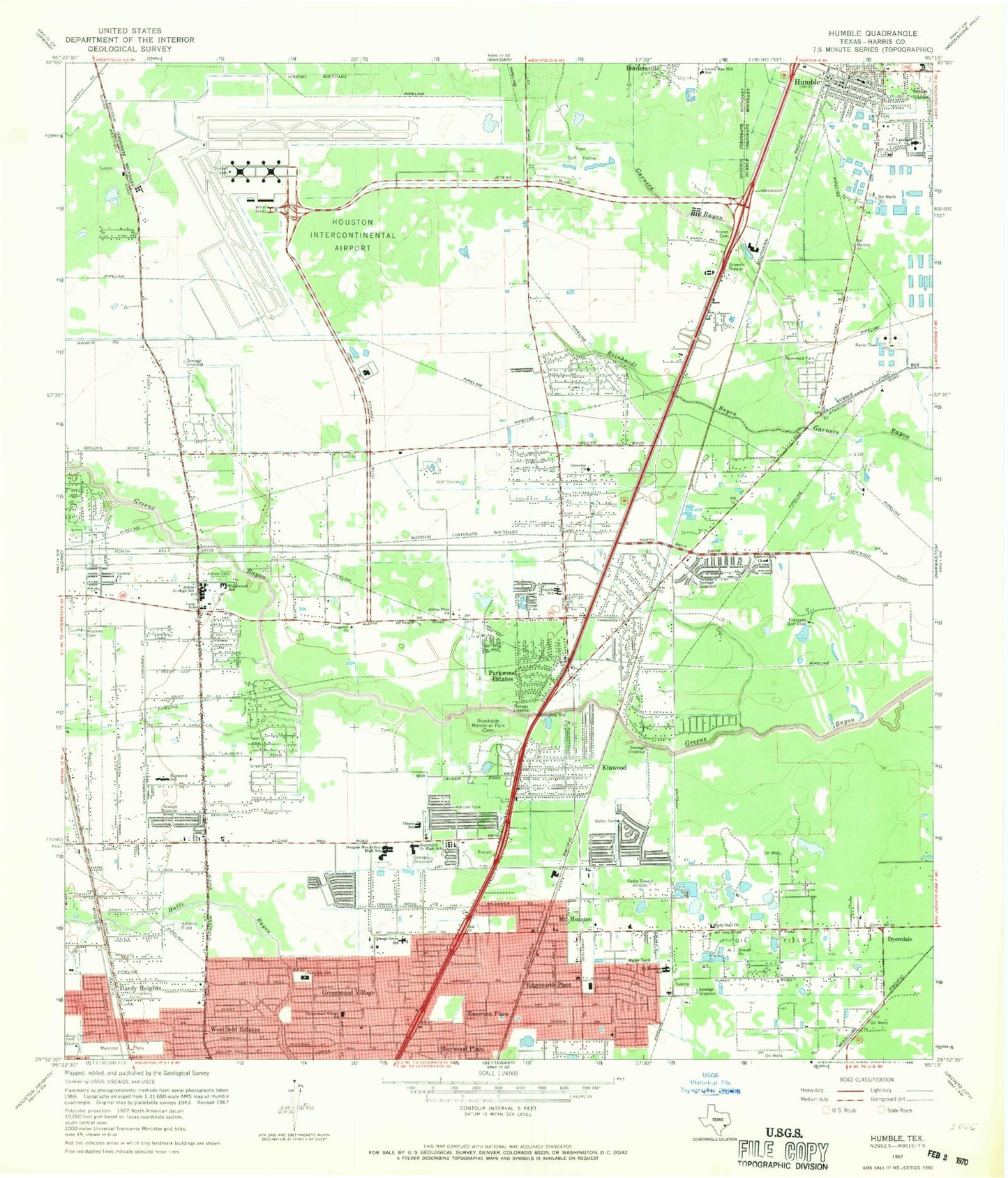
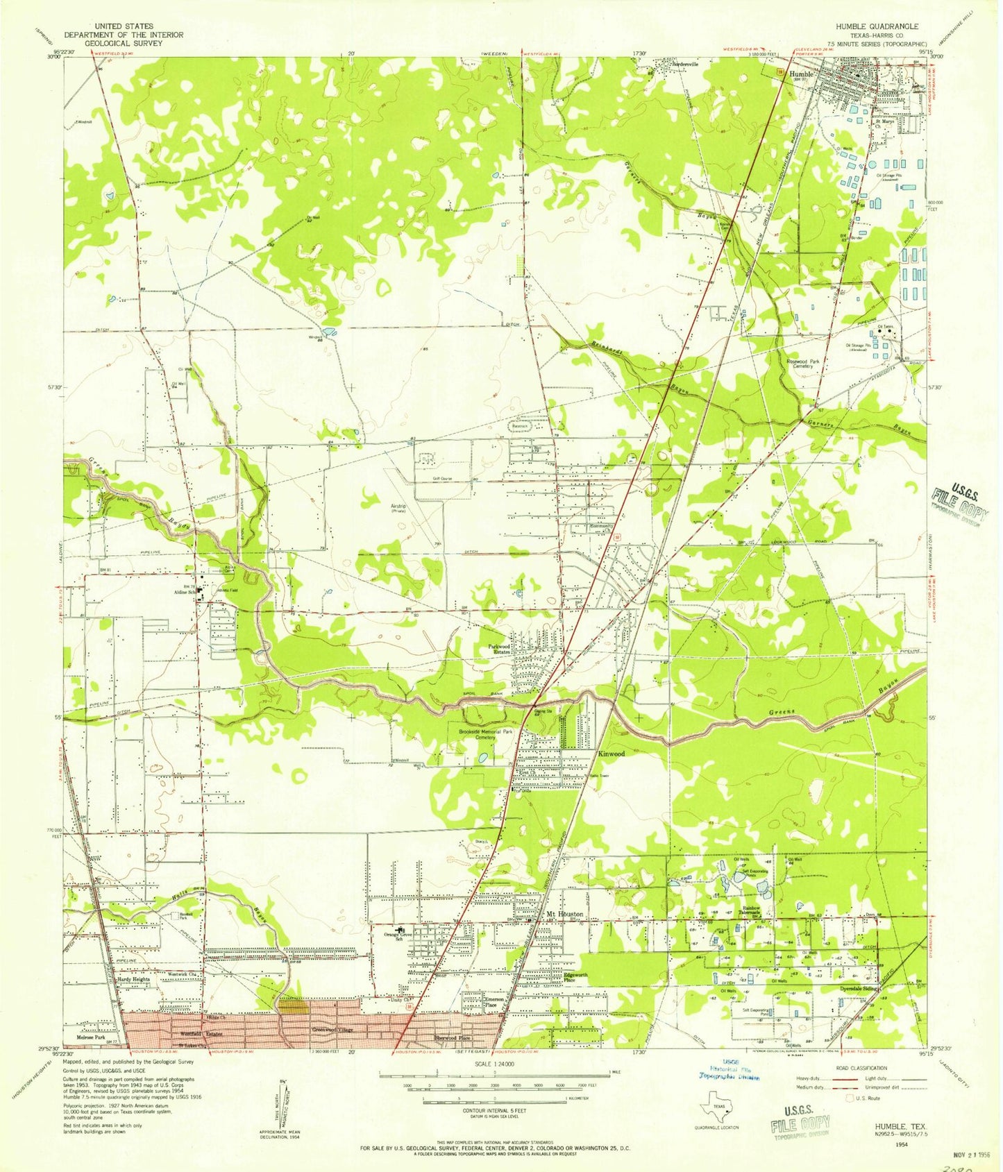
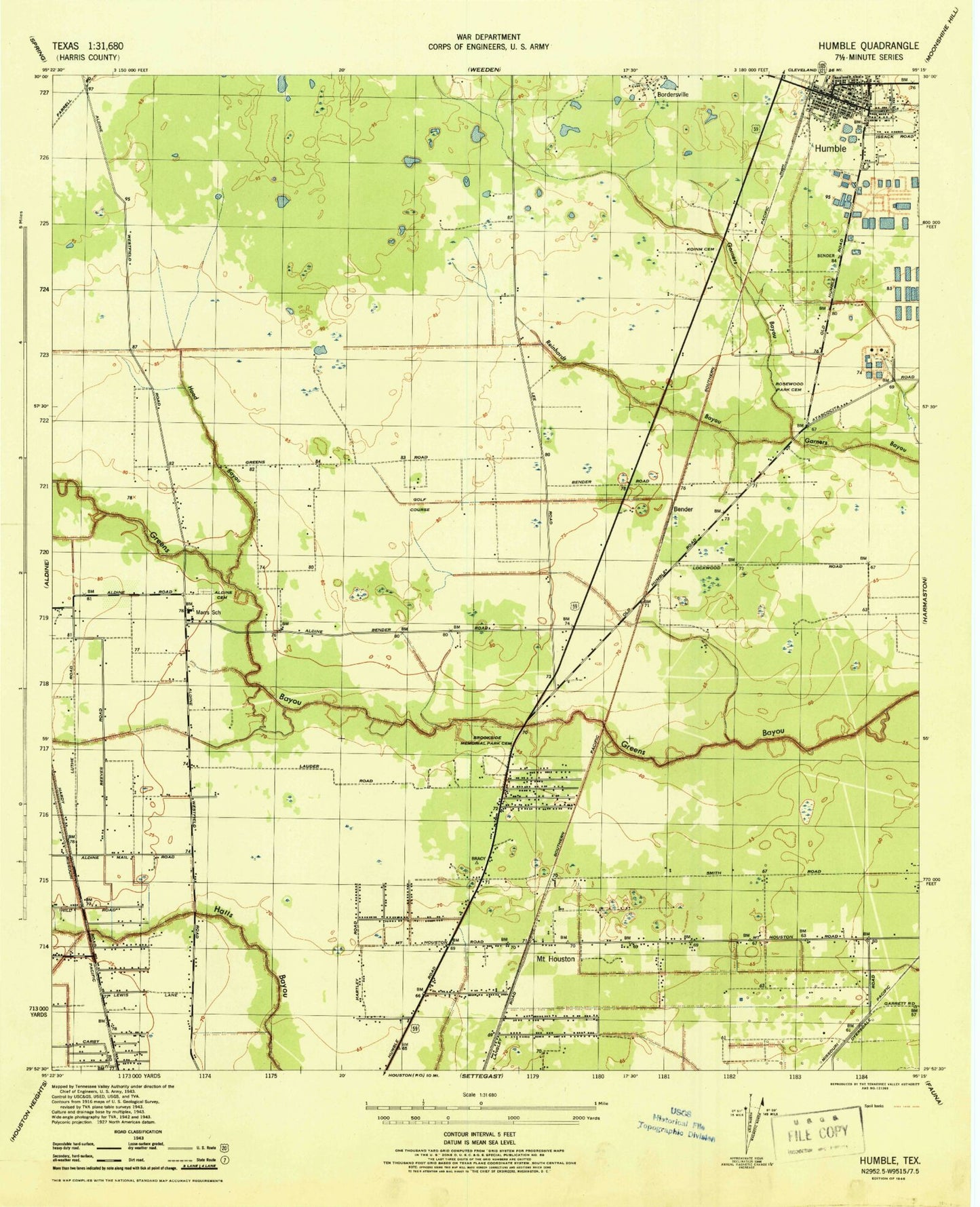
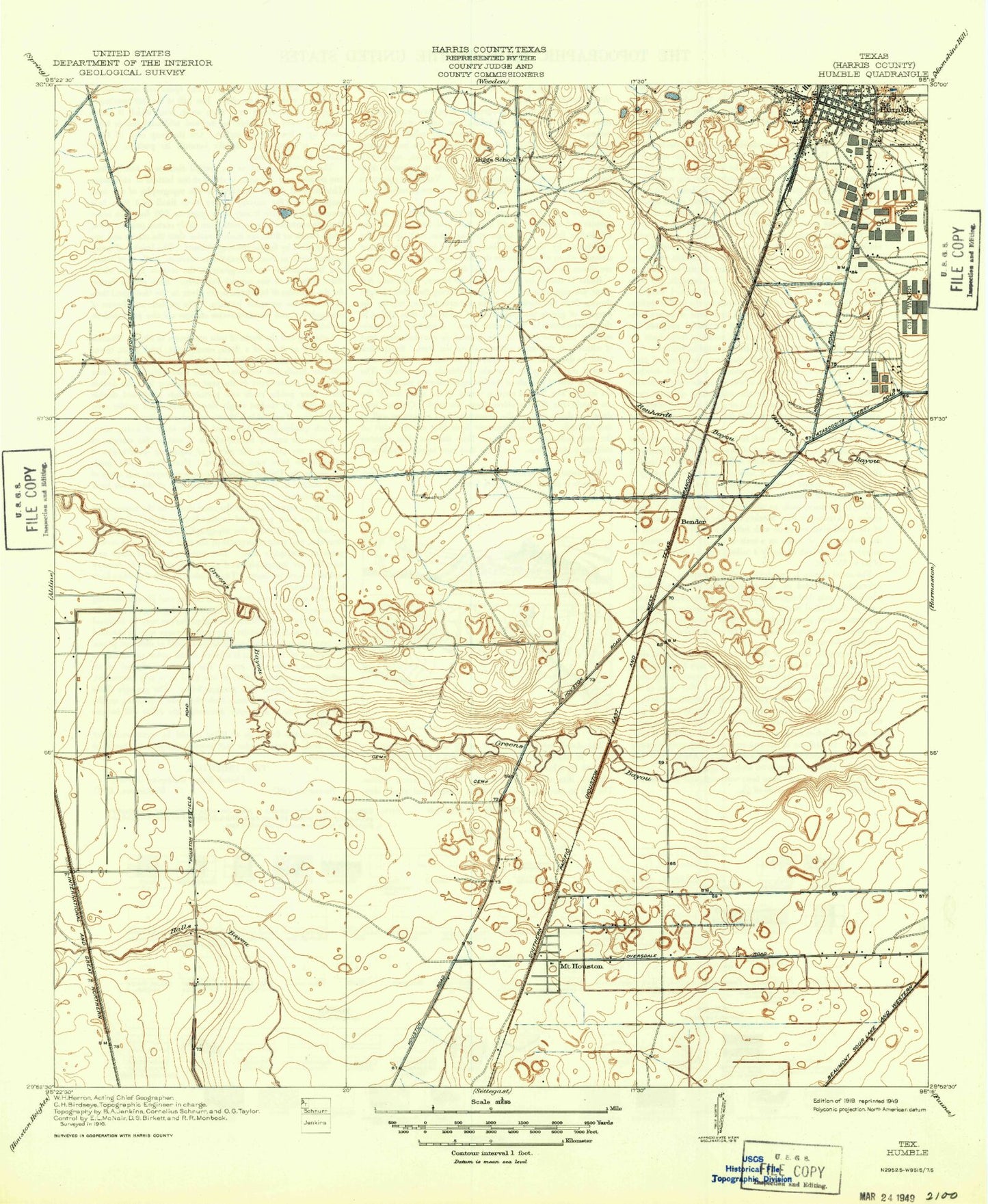
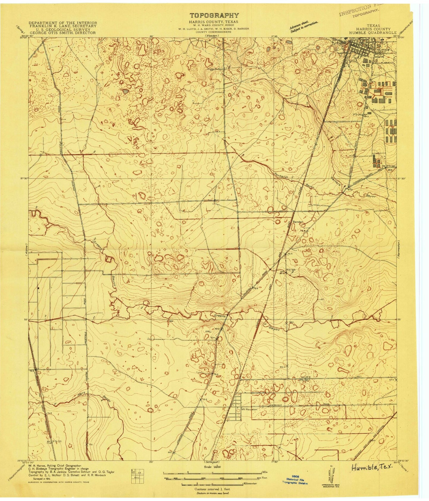
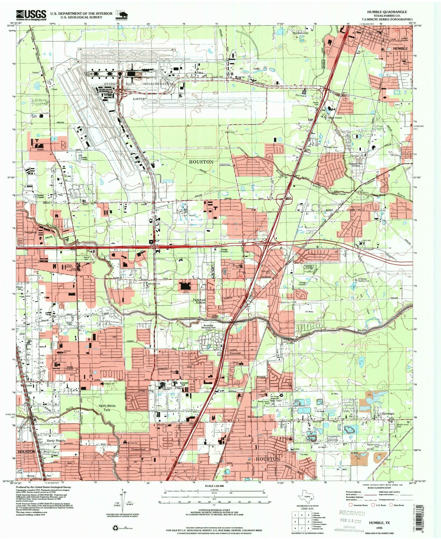
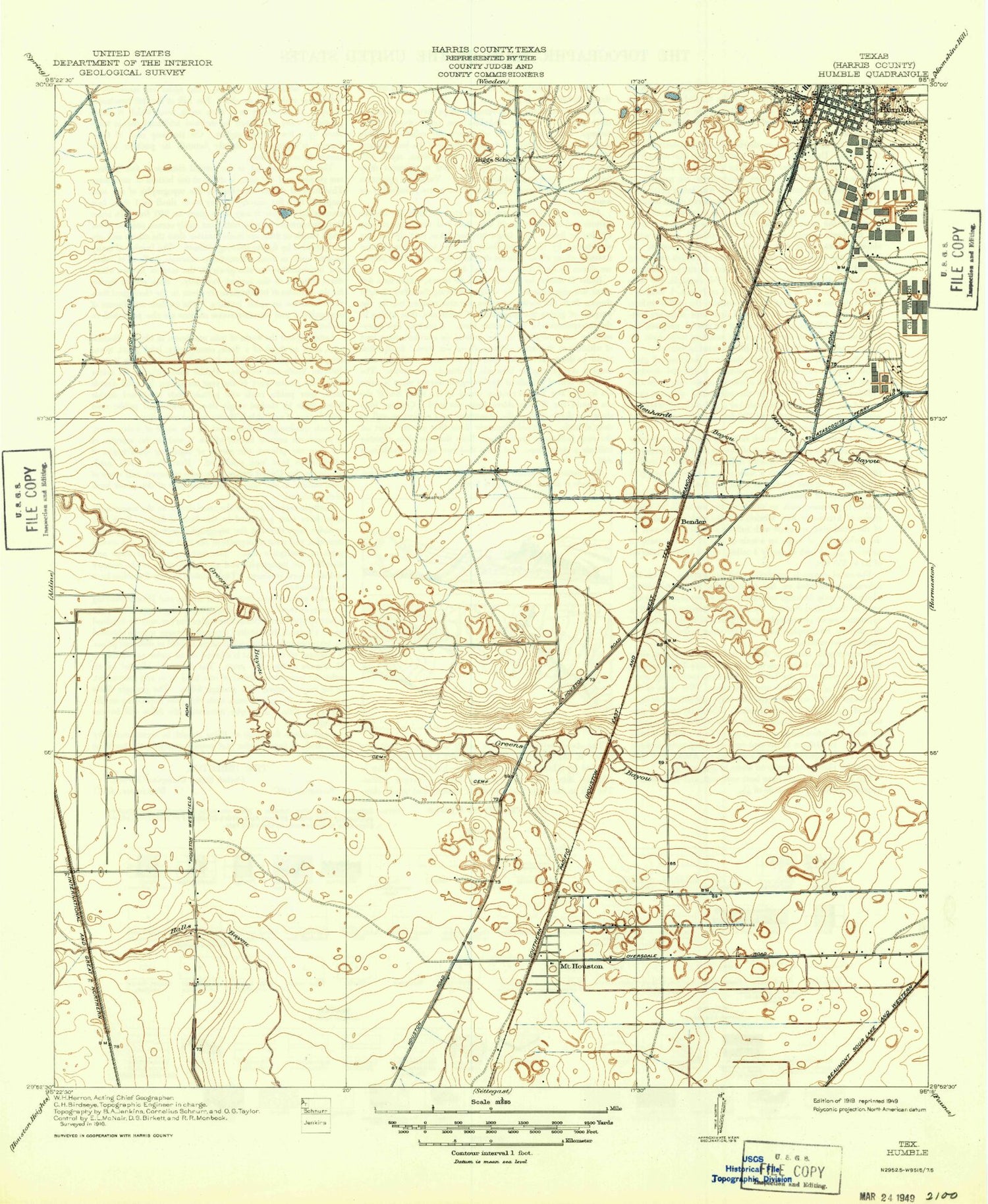
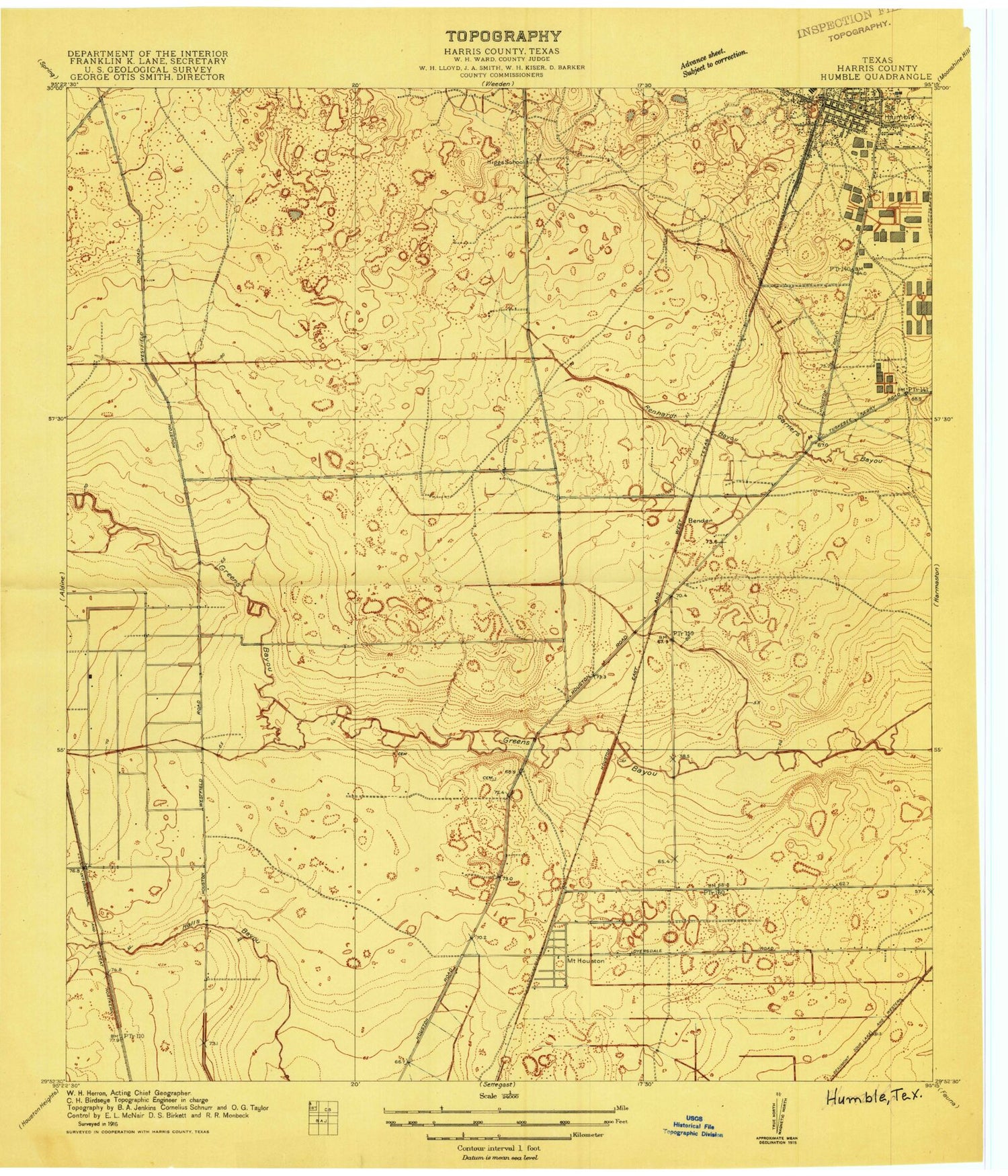
Classic USGS Humble Texas 7.5'x7.5' Topo Map
Couldn't load pickup availability
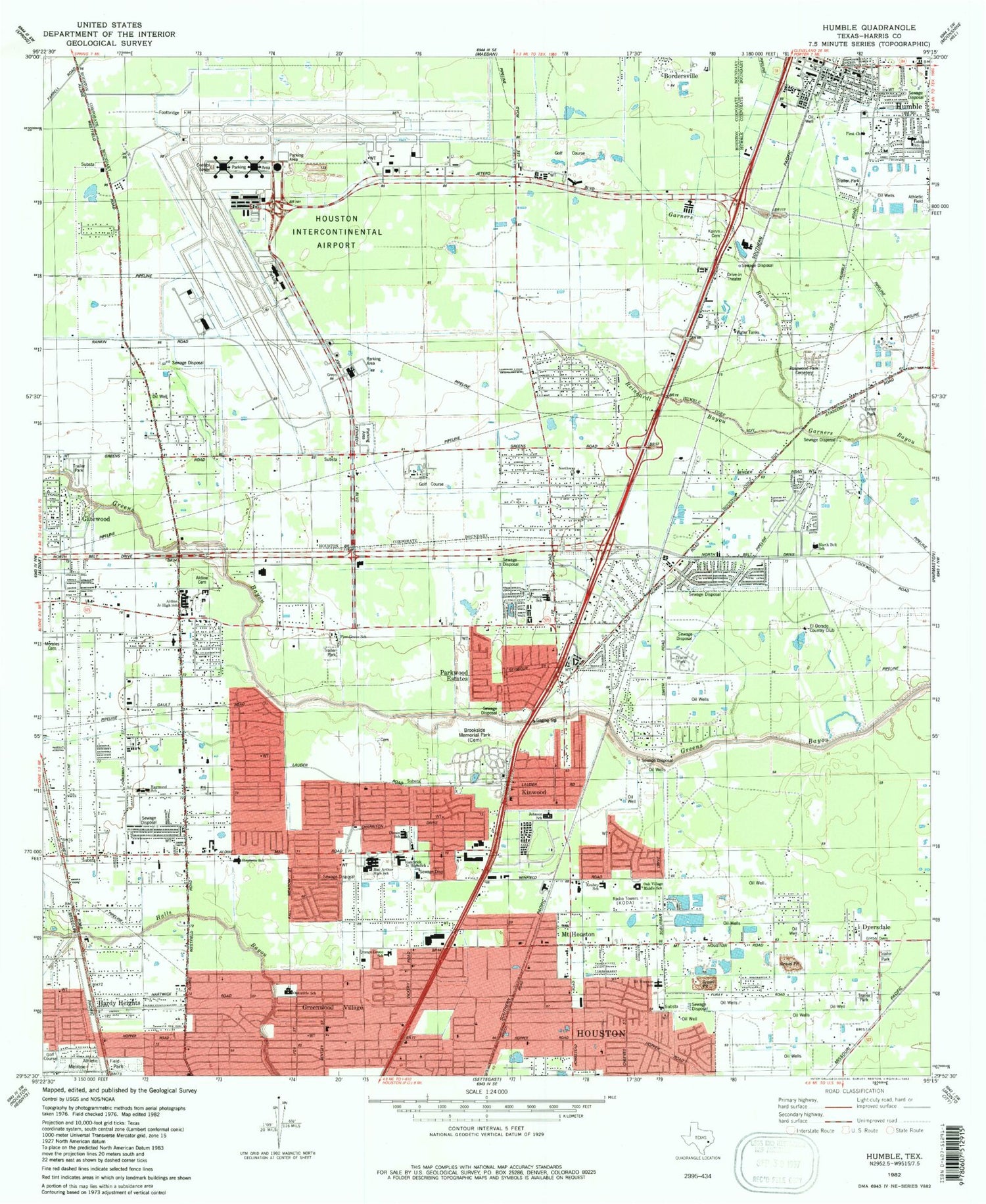
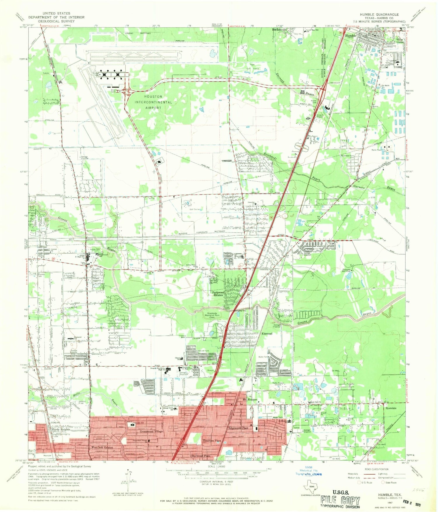
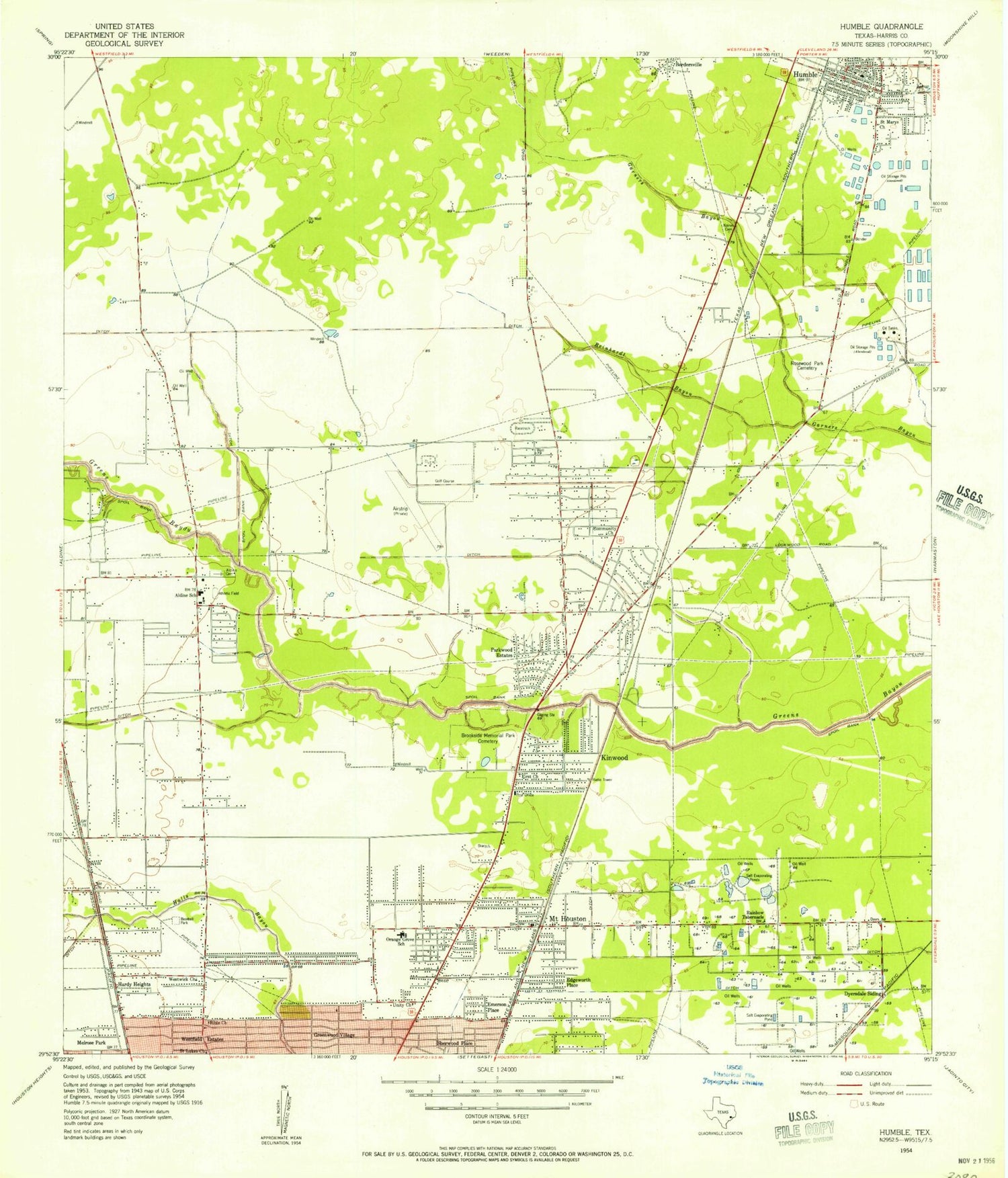
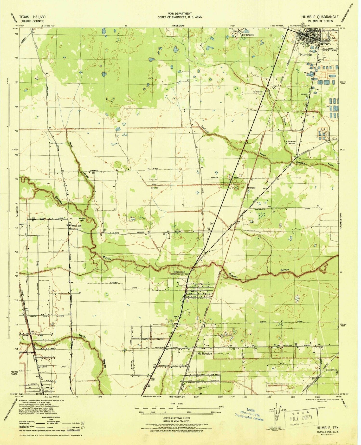
Historical USGS topographic quad map of Humble in the state of Texas. Map scale may vary for some years, but is generally around 1:24,000. Print size is approximately 24" x 27"
This quadrangle is in the following counties: Harris.
The map contains contour lines, roads, rivers, towns, and lakes. Printed on high-quality waterproof paper with UV fade-resistant inks, and shipped rolled.
Contains the following named places: Aldine Baptist Church, Aldine Cemetery, Aldine City, Aldine Fire and Rescue Station 11, Aldine First Church, Aldine First United Methodist Church, Aldine Heliport, Aldine Junior High School, Aldine Meadows, Aldine Middle School, Aldine Place, Armstrong Place, Assembly Pentecostal Bethel Church, Audubon Park, Berea Missionary Baptist Church, Berean Baptist Church of Humble, Betania Baptist Mission Church, Bethel Community Church, Bread of Life Baptist Church, Brookside Memorial Park, Calvary Way Missionary Baptist Church, Calvert Elementary School, Castlewoods, Center of Life Baptist Church, Central Church, Central Green, Church of Christ - Humble, Church of Christ - Melrose Park, Church of Christ - Northwood Manor, Church of the Nazarene, City of Humble, Community Baptist Church, Community of New Hope Church, De Santiago Early Childood Center, Deerbrook Baptist Church, Depriest Baptist Church, Douglas MacArthur High School, Dyersdale, Eastex Fire Department Station 16, Eastex Oaks Church, Eckert Intermediate School, Edgewood School, Edgeworth Place, Eldorado Golf Club, Emerson Place, Escamilla Intermediate School, Fair Green, First Baptist Church Kinwood, First Baptist Church of Humble, First Romanian Baptist Church, Fountain View, Francis Elementary School, Francis School, Friendly Tabernacle Pentecostal Church of God, Gateway Helistop, George Bush Intercontinental/Houston Airport, Glad Tiding Holiness Church, Glen Lee Place, Greater True Light Baptist Church, Green Valley Baptist Church, Greenbriar Colony, Greenview Manor, Greenwood Village, Greenwood Village Church, Hambrick Junior High School, Hambrick Middle School, Hardy Heights, Harris County Constable's Office Precinct 4 Eastside Patrol Substation, Harris County Department of Public Safety, Harris County Emergency Corps, Harris County Public Library, Harris County Sheriff's Office - Aldine Community Substation, Harris County Sheriff's Office - Humble Substation, HealthSouth Rehabilitation Hospital of Humble, Heart of Faith Church, Hillcrest United Methodist Church, Hinojosa Early Childhood Center, Homestead Missionary Baptist Church, Houston Fire Department Station 54, Houston Fire Department Station 63, Houston Fire Department Station 64, Houston Fire Department Station 92, Houston Fire Department Station 99, Houston Fire Station Number 54, Houston Fire Station Number 64, Houston Intercontinental Trade Center, Houston International Church of God, Houston Police Academy, Houston Police Department - International Airport Houston Division, Humble, Humble Acres, Humble Chamber of Commerce, Humble City Fire Department, Humble City Hall, Humble City Park, Humble Civic Center and Arena, Humble Fire Department Station 1, Humble Fire Marshal's Office, Humble Fire Station, Humble Industrial Park, Humble Library, Humble Museum, Humble Plaza Shopping Center, Humble Police Department, Humble Post Office, Iglesia Bautista Rio Jordan, Jack M Fields Senior Elementary School, Jehovah Witness Kingdom Hall Church, Jesus Way Baptist Church, Jetera Heliport, Johnson Elementary School, Keahey Elementary School, Kinwood, KLAT-AM (Houston), Lakeland Baptist Church, Lakeland Elementary School, Lakeland School, Lane School, Laura Mae Hill School, Lee Land, Leedale Baptist Church, Lindale Farms, Macarthur High School, Meadowbrook Mobile Home Park, Melrose Park, Memorial Hermann Northeast Hospital, Morales Cemetery, Mount Houston, Mount Houston Baptist Church, Mount Houston School, Mount Olive Missionary Baptist Church, Mount Sinai Missionary Baptist Church, New Covenant Missionary Baptist Church, North Belt Baptist Church, North Belt Church of the Nazarene, North Central Assembly of God Church, North Harris County Baptist Temple Church, North Houston Seventh Day Adventist Church, Northington Estates, Northland Missionary Baptist Church, Northway Baptist Church, Northwood Plaza Shopping Center, Oak Knoll Estates, Oak Village Middle School, Oakwide School, Oakwilde, Oleson Elementary School, Oleson School, Open Door Missionary Baptist Church, Orange Grove, Orange Grove Elementary School, Orange Grove School, Papa Heliport, Parkwood Baptist Church, Parkwood Estates, Phuc Vien Temple, Pine Grove Baptist Church, Pine Grove Elementary School, Pinegrove Church, Pinevillage North, Primera Iglesia Bautista de Kenwood Church, Priority One Emergency Medical Service, Raymond Academy, Raymond School, Reinhardt Bayou, Riverwood Estates, Riverwood Missionary Baptist Church, Rosewood Park Cemetery, Ruby Reed Intermediate School, Saint Leo the Great Catholic Parish Church, Saint Mary Magdalene Catholic Church, Sequoya Bend, Shadowlake Estates, Shady Oaks Church, Slo-Pitch City Softball Field, Smokey Jasper Park, South Aldine Baptist Church, Spears Village, Stephens Elementary School, T S Grantham Middle School, Tejas Golf Course, Texas Department of Public Safety - Highway Patrol Office, The Rock Church Assembly of God, Thurgood Marshall Elementary School, W W Thorne Stadium, Weldon Pines, Western Homes, Westfield Road Volunteer Fire Department, Worsham Elementary School, ZIP Codes: 77032, 77039, 77050, 77396
