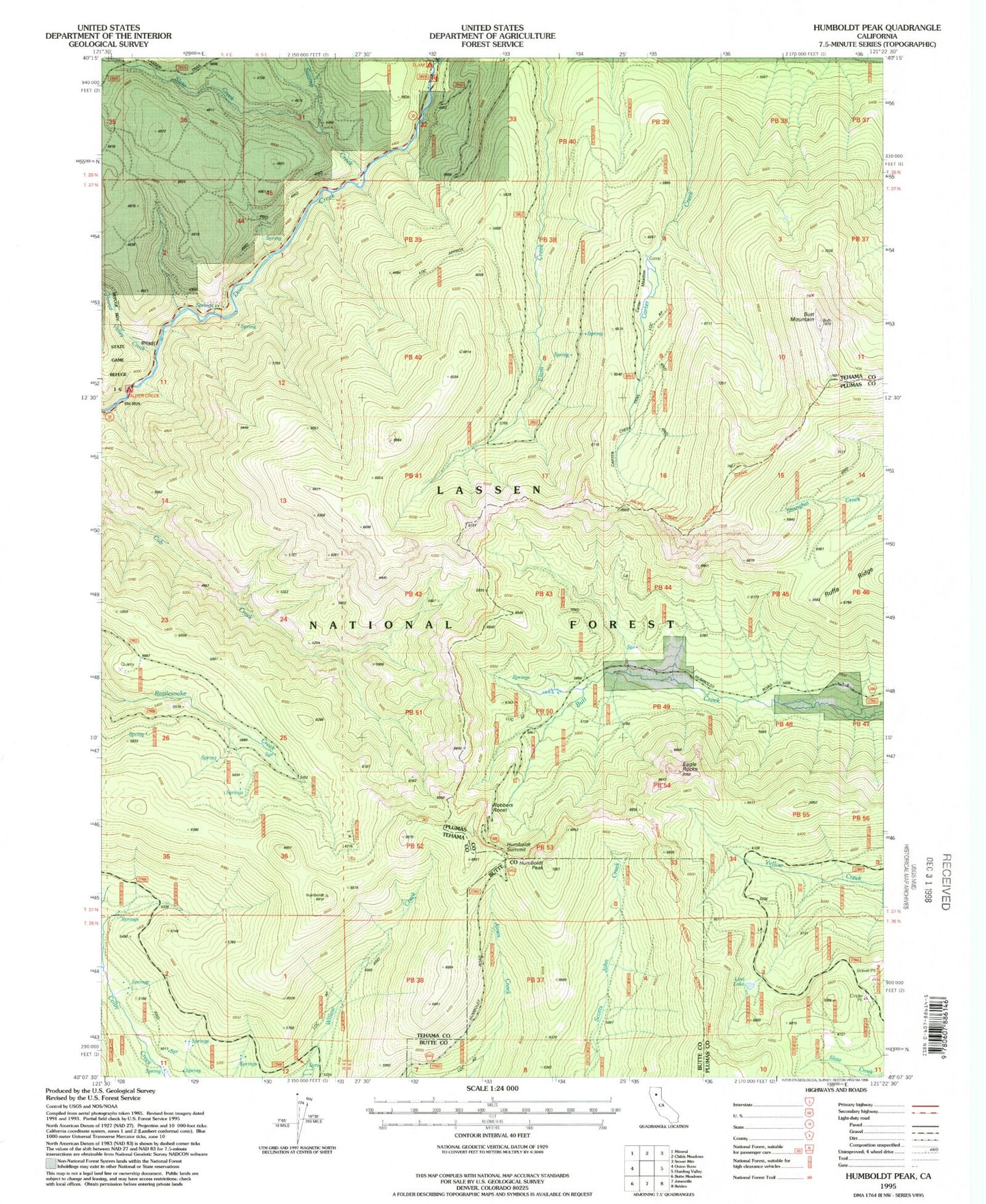
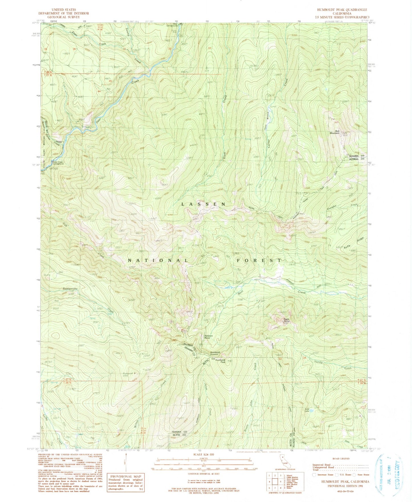
MyTopo
Classic USGS Humboldt Peak California 7.5'x7.5' Topo Map
Couldn't load pickup availability
Historical USGS topographic quad map of Humboldt Peak in the state of California. Map scale may vary for some years, but is generally around 1:24,000. Print size is approximately 24" x 27"
This quadrangle is in the following counties: Butte, Plumas, Tehama.
The map contains contour lines, roads, rivers, towns, and lakes. Printed on high-quality waterproof paper with UV fade-resistant inks, and shipped rolled.
Contains the following named places: Alder Creek Campground, Butt Mountain, Carter Creek Trail, Carter Meadow, Carter Meadow Trail, Eagle Rocks, Elam Campground, Elam Creek, Humboldt Peak, Humboldt Summit, Lost Lake, Robbers Roost, Round Valley Creek, Ruffa Ranch, Ruffa Ridge, Slate Creek, Swamp Creek