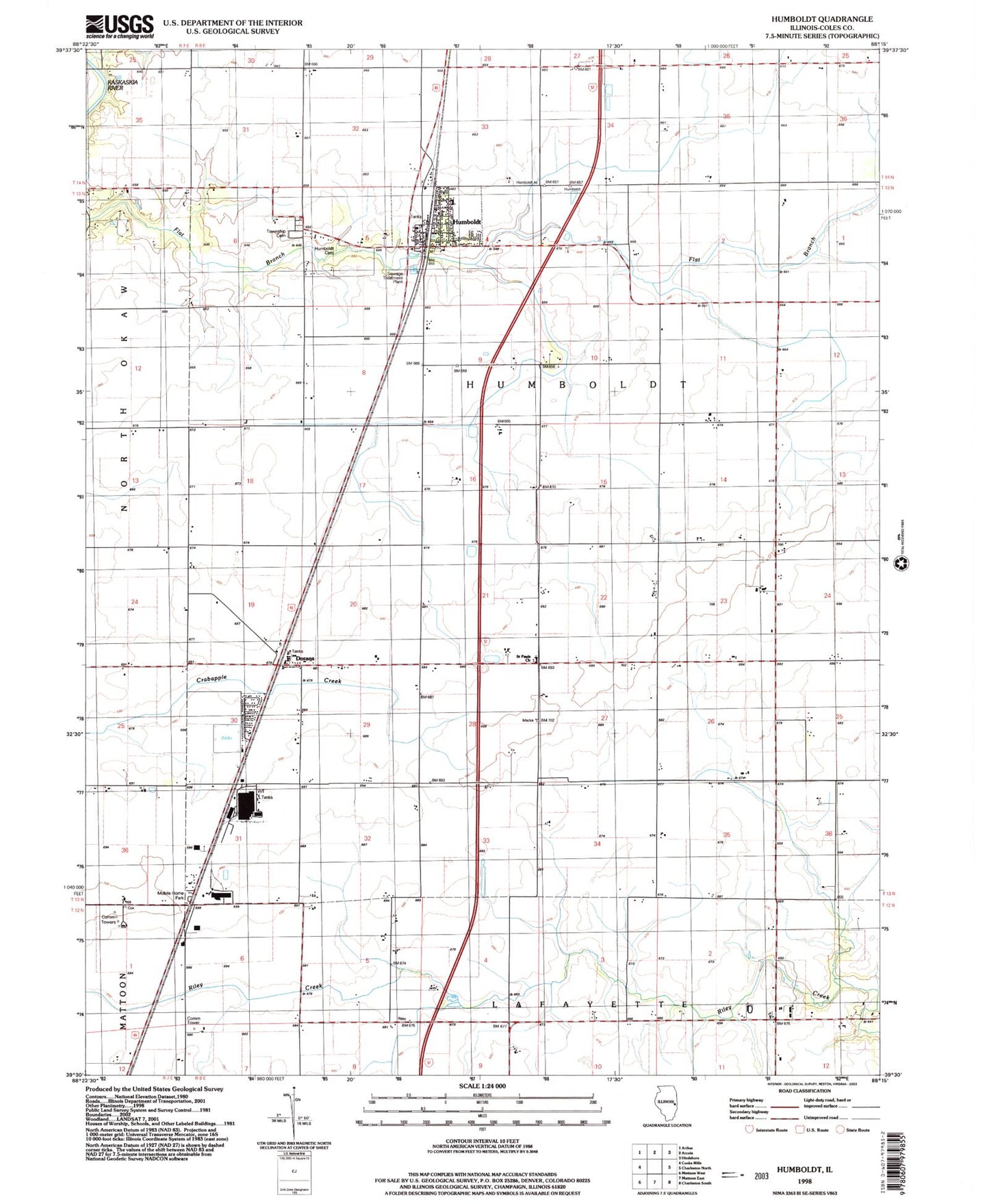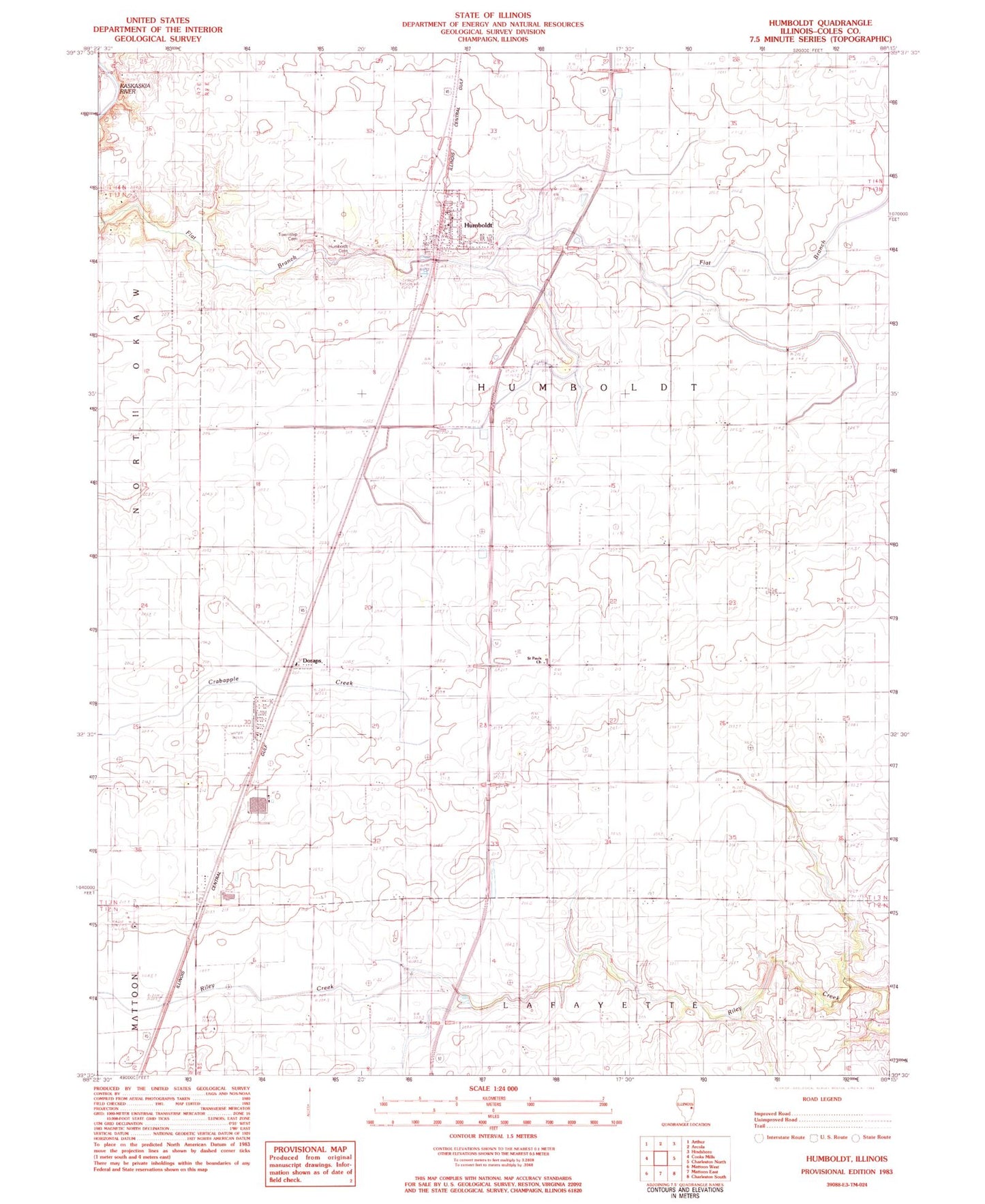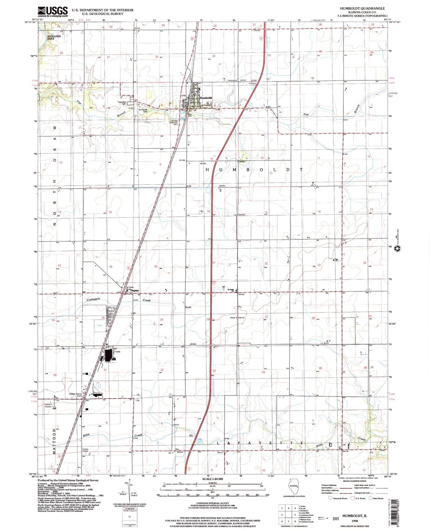
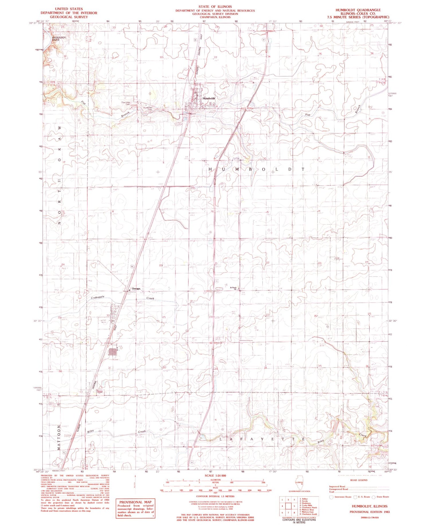
MyTopo
Classic USGS Humboldt Illinois 7.5'x7.5' Topo Map
Couldn't load pickup availability
Historical USGS topographic quad map of Humboldt in the state of Illinois. Map scale may vary for some years, but is generally around 1:24,000. Print size is approximately 24" x 27"
This quadrangle is in the following counties: Coles.
The map contains contour lines, roads, rivers, towns, and lakes. Printed on high-quality waterproof paper with UV fade-resistant inks, and shipped rolled.
Contains the following named places: Antioch School, Bean School, Black School, Bond School, Dorans, Floyd School, Frazier School, Humboldt, Humboldt Cemetery, Humboldt Community Fire Protection District, Humboldt Elementary School, Humboldt Post Office, Humboldt Township Cemetery, North Loxa School, Oak Grove School, Pleasant View School, Poorman School, Saint Pauls Church, Swayback School, Tinch School, Township of Humboldt, Village of Humboldt, Wesley School, WLBH-AM (Mattoon), WLBH-FM (Mattoon), WMCI-FM (Mattoon), Zion School, ZIP Code: 61931