
MyTopo
Classic USGS Humbolt Hills Montana 7.5'x7.5' Topo Map
Regular price
$16.95
Regular price
Sale price
$16.95
Unit price
per
Couldn't load pickup availability
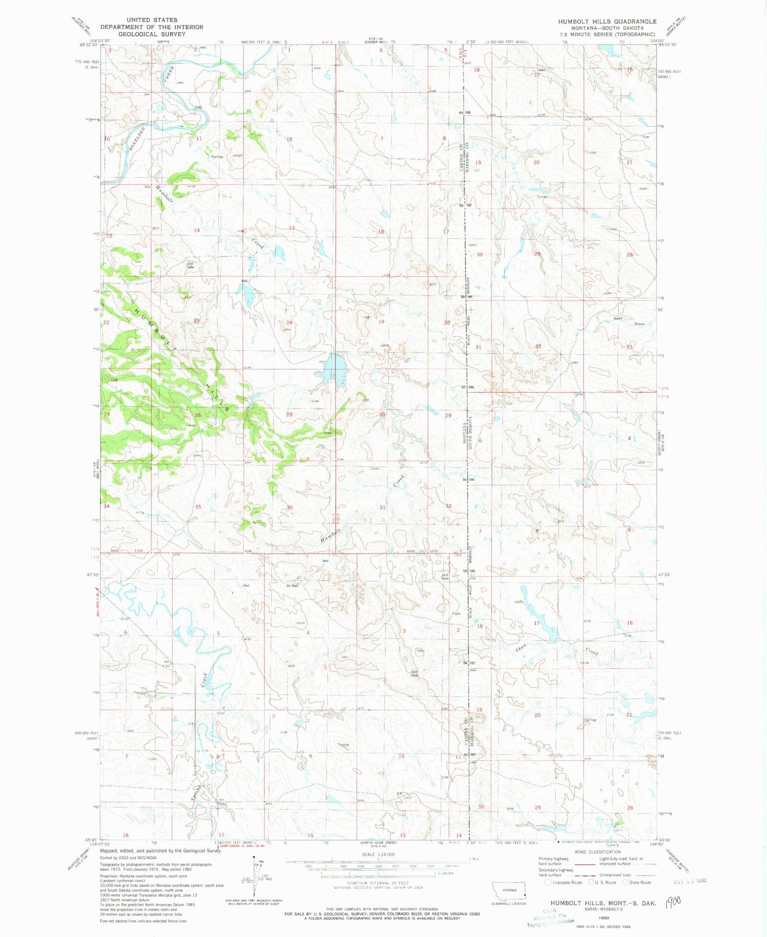
Historical USGS topographic quad map of Humbolt Hills in the states of Montana, South Dakota. Map scale may vary for some years, but is generally around 1:24,000. Print size is approximately 24" x 27"
This quadrangle is in the following counties: Carter, Harding.
The map contains contour lines, roads, rivers, towns, and lakes. Printed on high-quality waterproof paper with UV fade-resistant inks, and shipped rolled.
Contains the following named places: 01N57E18DAA_01 Well, 01S62E06DCAC01 Well, Ernest Wallstein Dam, Holsti Dam, Humbolt Creek, Humbolt Hills, Scoria Dam


