MyTopo
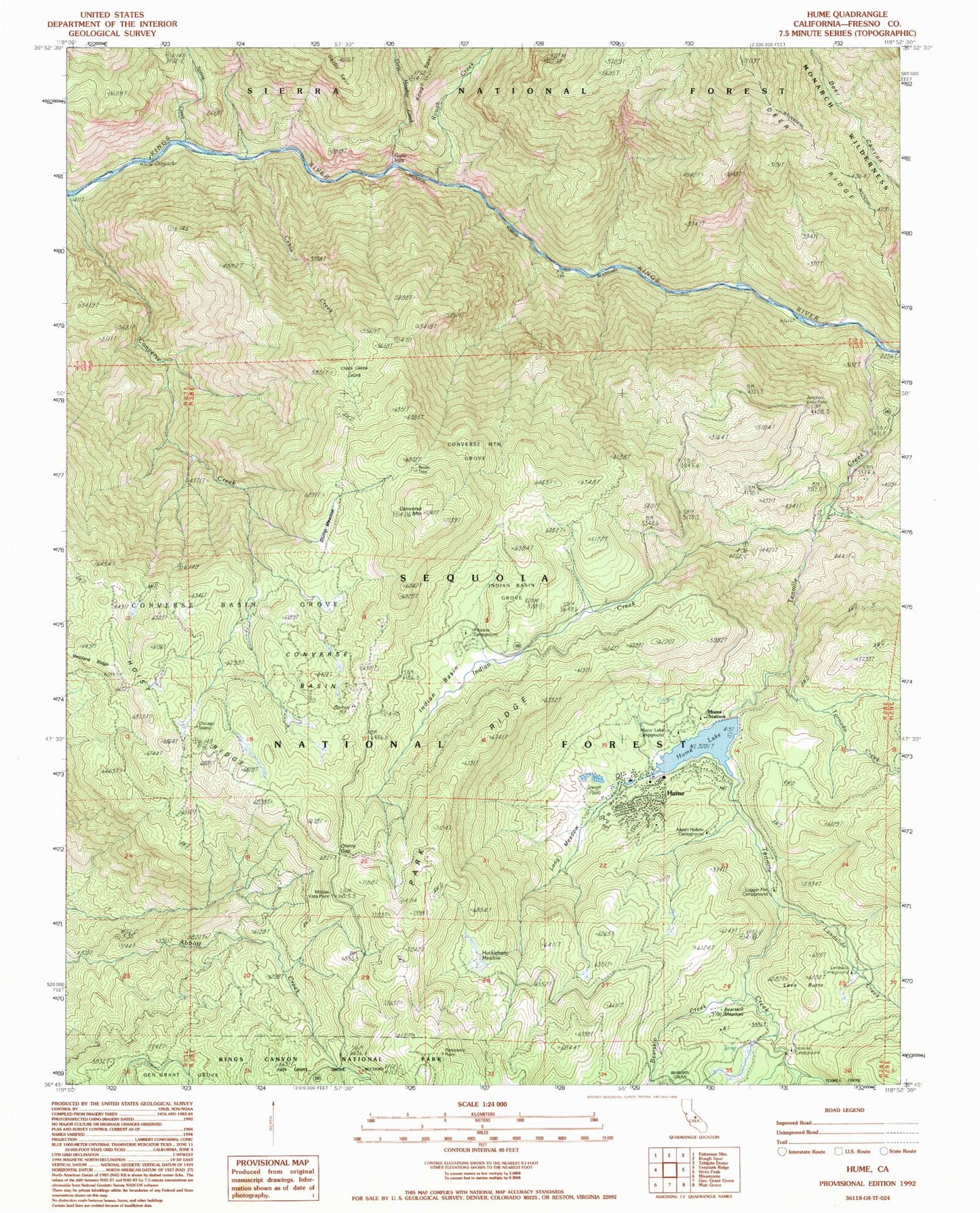
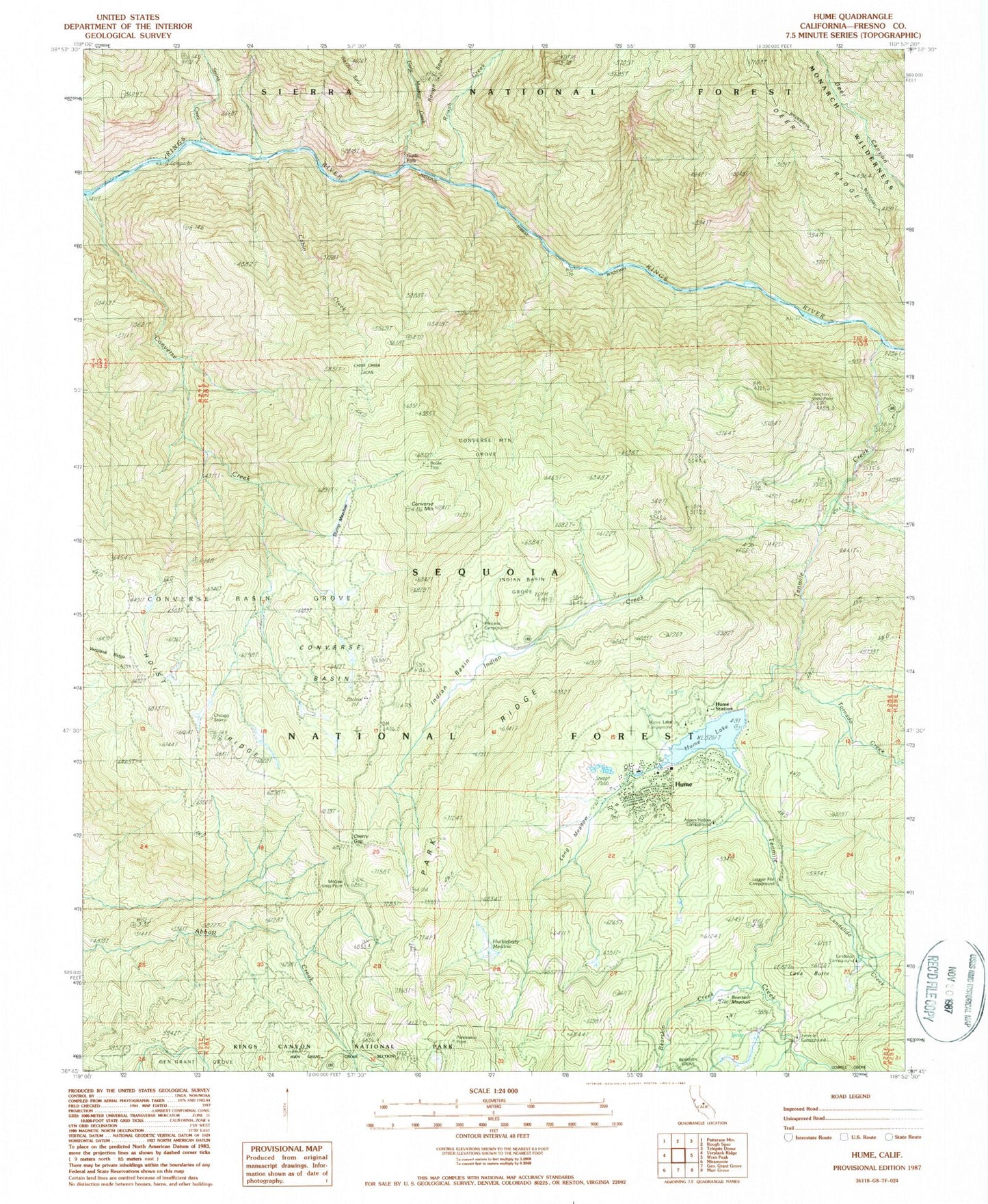
Classic USGS Hume California 7.5'x7.5' Topo Map
Couldn't load pickup availability
Historical USGS topographic quad map of Hume in the state of California. Map scale may vary for some years, but is generally around 1:24,000. Print size is approximately 24" x 27"
This quadrangle is in the following counties: Fresno.
The map contains contour lines, roads, rivers, towns, and lakes. Printed on high-quality waterproof paper with UV fade-resistant inks, and shipped rolled.
Contains the following named places: Aspen Hollow Campground, Bartons Resort, Bearskin Creek, Bearskin Meadow, Boole Tree, Cabin Creek, Cabin Creek Grove, Camp Nineteen Station, Cherry Gap, Chicago Stump, Converse Basin, Converse Basin Grove, Converse Mountain, Converse Mountain Grove, Garlic Falls, Garlic Meadow Creek, Hoist Ridge, Huckleberry Meadow, Hume, Hume Forest Service Facility, Hume Lake, Hume Lake Campground, Hume Lake Christian Camp, Hume Lake Volunteer Fire and Rescue Company, Hume Post Office, Hume Station, Indian Basin, Indian Basin Grove, Indian Creek, Junction Vista Point, Landslide Campground, Landslide Creek, Lava Butte, Legger Flat Campground, Logger Flat Campground, Long Meadow, McGee Vista Point, Middle Fork Kings River, Panoramic Point, Powder Can Picnic Area, Powder Canyon Picnic Area, Princess Campground, Rough Creek, Sandy Cove Beach, Sandy Cove Beach Picnic Area, South Fork Kings River, Spring Creek, Stump Meadow, Ten Mile Campground, Tenmile Creek, Tornado Creek, Verplank Ridge, Yucca Point, ZIP Code: 93628


