MyTopo
Classic USGS Humphrey SE Nebraska 7.5'x7.5' Topo Map
Regular price
$16.95
Regular price
Sale price
$16.95
Unit price
per
Couldn't load pickup availability
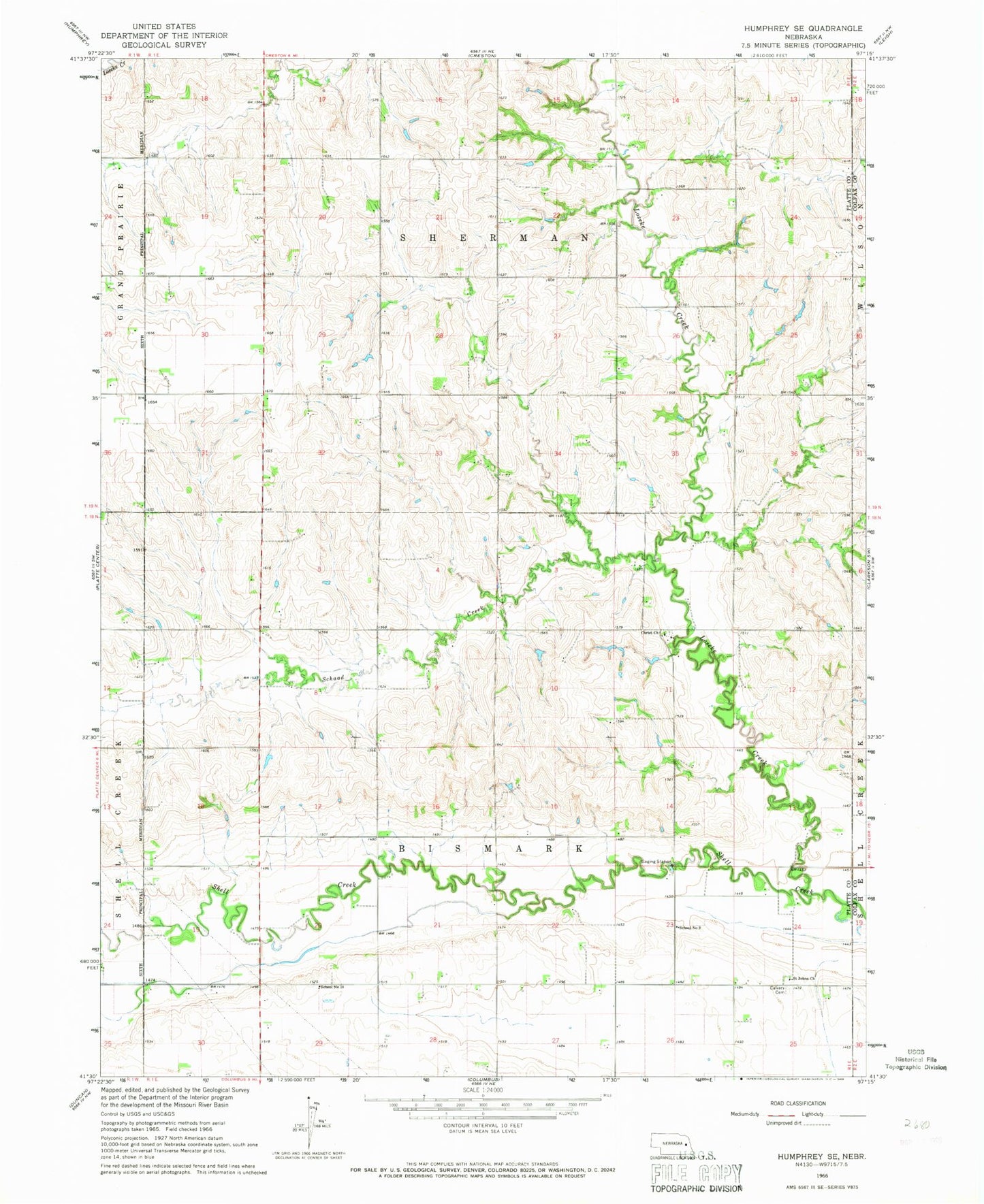
Historical USGS topographic quad map of Humphrey SE in the state of Nebraska. Map scale may vary for some years, but is generally around 1:24,000. Print size is approximately 24" x 27"
This quadrangle is in the following counties: Colfax, Platte.
The map contains contour lines, roads, rivers, towns, and lakes. Printed on high-quality waterproof paper with UV fade-resistant inks, and shipped rolled.
Contains the following named places: Calvary Cemetery, Christ Church, Loseke Creek, Loseke-Frese Dam, Loseke-Frese Reservoir, Saint Johns Church, Schaad Creek, School Number 10, School Number 2, Shell Creek Elementary School, Township of Bismark, Township of Sherman