MyTopo
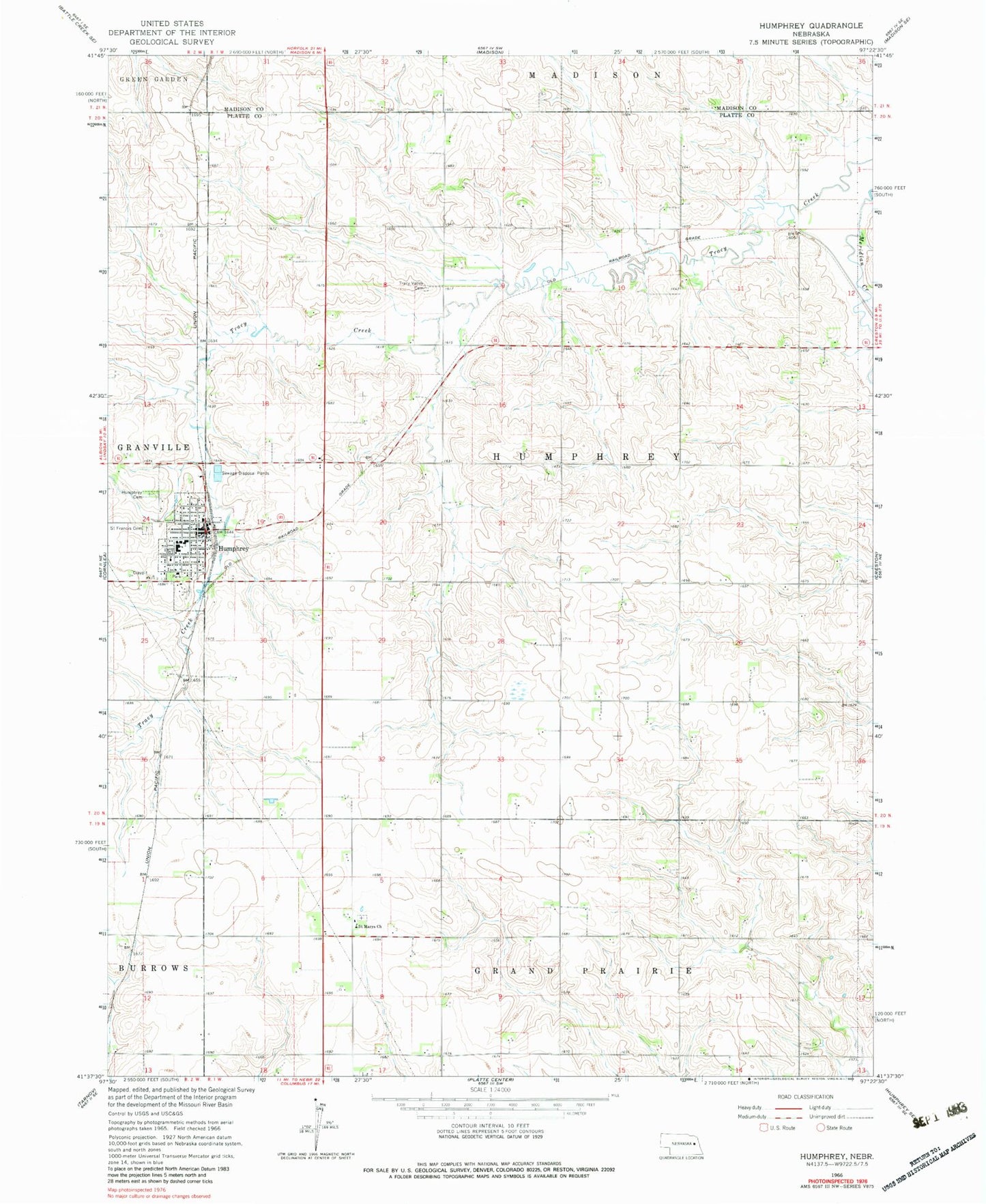
Classic USGS Humphrey Nebraska 7.5'x7.5' Topo Map
Couldn't load pickup availability
Historical USGS topographic quad map of Humphrey in the state of Nebraska. Map scale may vary for some years, but is generally around 1:24,000. Print size is approximately 24" x 27"
This quadrangle is in the following counties: Madison, Platte.
The map contains contour lines, roads, rivers, towns, and lakes. Printed on high-quality waterproof paper with UV fade-resistant inks, and shipped rolled.
Contains the following named places: City of Humphrey, Humphrey, Humphrey Cemetery, Humphrey Medical Clinic, Humphrey Police Department, Humphrey Post Office, Humphrey Public Library, Humphrey Public Schools, Humphrey Volunteer Fire and Rescue, Husker Co-op Elevator, Saint Francis Cemetery, Saint Francis Central High School, Saint Francis Church, Saint Francis Elementary School, Saint Mary Post Office, Saint Marys Church, Steepleview Golf Course, Township of Humphrey, Tracy Valley Cemetery