MyTopo
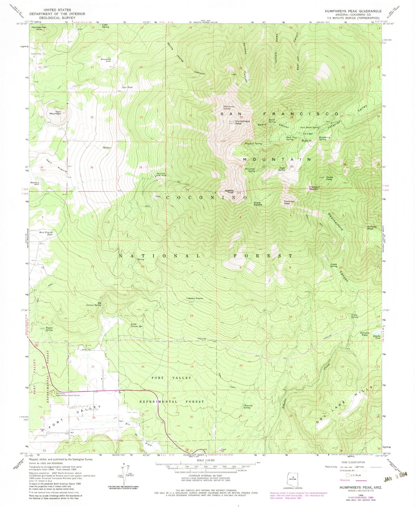
USGS Classic Humphreys Peak Arizona 7.5'x7.5' Topo Map
Couldn't load pickup availability
Historical USGS topographic quad map of Humphreys Peak in the state of Arizona. Scale: 1:24000. Print size: 24" x 27"
This quadrangle is in the following counties: Coconino.
The map contains contour lines, roads, rivers, towns, lakes, and grids including latitude / longitude and UTM / MGRS. Printed on high-quality waterproof paper with UV fade-resistant inks.
Contains the following named places: Aubineau Peak, Agassiz Peak, Arizona Snow Bowl, Aspen Spring, Bear Paw Spring, Beard Canyon, Beard Spring, Leroux Spring, Bismarck Lake, Chimney Spring, Doyle Peak, Doyle Saddle, Doyle Spring, Fern Mountain, Flagstaff Spring, Fort Valley, Fort Valley Experimental Forest, Fort Valley Experimental Forest Station, Freidlein Prairie, Fremont Peak, Fremont Saddle, Hart Prairie, Hart Prairie Tank, Humphreys Peak, Inner Basin, Lew Tank, Little Leroux Spring, Little Spring, Michelbach Ranch, Orion Spring, Philomena Spring, Raspberry Spring, Rees Peak, San Francisco Mountain, Schultz Pass, Schultz Peak, Schultz Tank, Snowslide Spring, Taylor Spring, Alfa Fia Tank, Aspen Tank, Big Leroux Spring, Domingo Tank, Fern Mountain Tank, Galinas Tank, High Tank, Hot Shot Headquarters, Jack Smith Spring, San Francisco Peaks Natural Area, Viet Spring, Windmill Tank, Kachina Peaks Wilderness, Arizona Snow Bowl Campground, G. A. Pearson Natural Area, Snowbowl Ski Area, Windmill Tank, High Tank, Freidlein Prairie Tank, Meadow Tank, Fort Valley Census Designated Place, Summit Fire District Station 36


