MyTopo
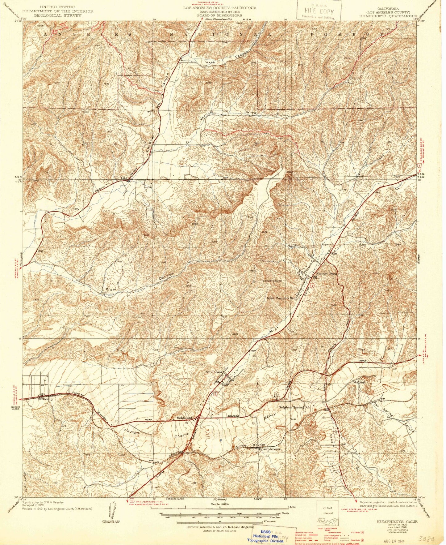
Classic USGS Humphreys California 7.5'x7.5' Topo Map
Couldn't load pickup availability
Historical USGS topographic quad map of Humphreys in the state of California. Map scale may vary for some years, but is generally around 1:24,000. Print size is approximately 24" x 27"
This quadrangle is in the following counties: Los Angeles.
The map contains contour lines, roads, rivers, towns, and lakes. Printed on high-quality waterproof paper with UV fade-resistant inks, and shipped rolled.
Contains the following named places: Baker Canyon, Bethlehem Lutheran Church, Calvary Evangelical Lutheran Church, Canyon Center Shopping Center, Canyon Country, Canyon Country Jo Anne Darcy Library, Canyon Country Park, Canyon Country Post Office, Canyon High School, Canyon Springs Community Elementary School, Cedarcreek Elementary School, Church of Jesus Christ of Latter Day Saints, City of Santa Clarita, Coarse Gold Canyon, Cruzan Mesa, First Christian Church, Forest Park, Friendly Valley Golf Course, Honby, Honby School, Hope Vineyard Church, Humphreys, Iglesia Hermano Unidos, Joe Scott Boys Camp, KBET-AM (Canyon Country), Kenyon Scudder Boys Camp, Leona H Cox Community Elementary School, Los Angeles County Fire Department Station 107, Los Angeles County Fire Department Station 132, Mint Canyon, Mint Canyon School, New Era School, North Oaks Park, Oak Spring Canyon, Pinetree Community Elementary School, Rio Vista Elementary School, Saint Clare Catholic Church, Sand Canyon, Santa Clarita Baptist Church, Sierra Canyon Plaza Shopping Center, Sierra Plaza Shopping Center, Sierra Vista Junior High School, Skyblue Mesa Elementary School, Solemint, Sulphur Springs Community Elementary School, Texas Canyon, The Knoll Shopping Center, Vasquez Canyon, ZIP Code: 91351


