MyTopo
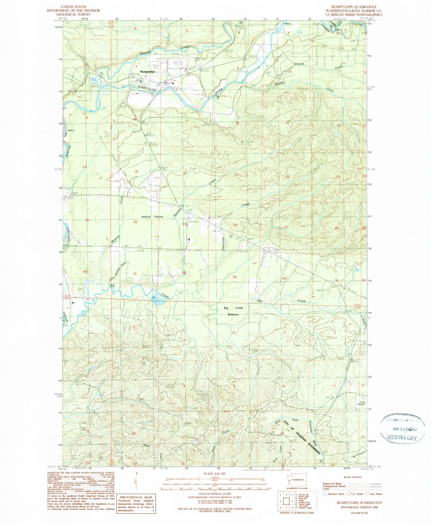
Classic USGS Humptulips Washington 7.5'x7.5' Topo Map
Couldn't load pickup availability
Historical USGS topographic quad map of Humptulips in the state of Washington. Typical map scale is 1:24,000, but may vary for certain years, if available. Print size: 24" x 27"
This quadrangle is in the following counties: Grays Harbor.
The map contains contour lines, roads, rivers, towns, and lakes. Printed on high-quality waterproof paper with UV fade-resistant inks, and shipped rolled.
Contains the following named places: Axford Prairie, Big Creek Bottoms, Elwood Creek, East Fork Humptulips River, Fairchild Creek, Hansen Creek, Humptulips, Little Mopang Creek, Mopang Creek, South Branch Big Creek, Stevens Creek, Brittain Creek, Axford, West Fork Humptulips River, Humptulips Division, Humptulips Census Designated Place, Humptulips Gravel Quarry, Grays Harbor Fire District 17 Station 2, Grays Harbor Fire District 17 Station 1, Humptulips Post Office