
MyTopo
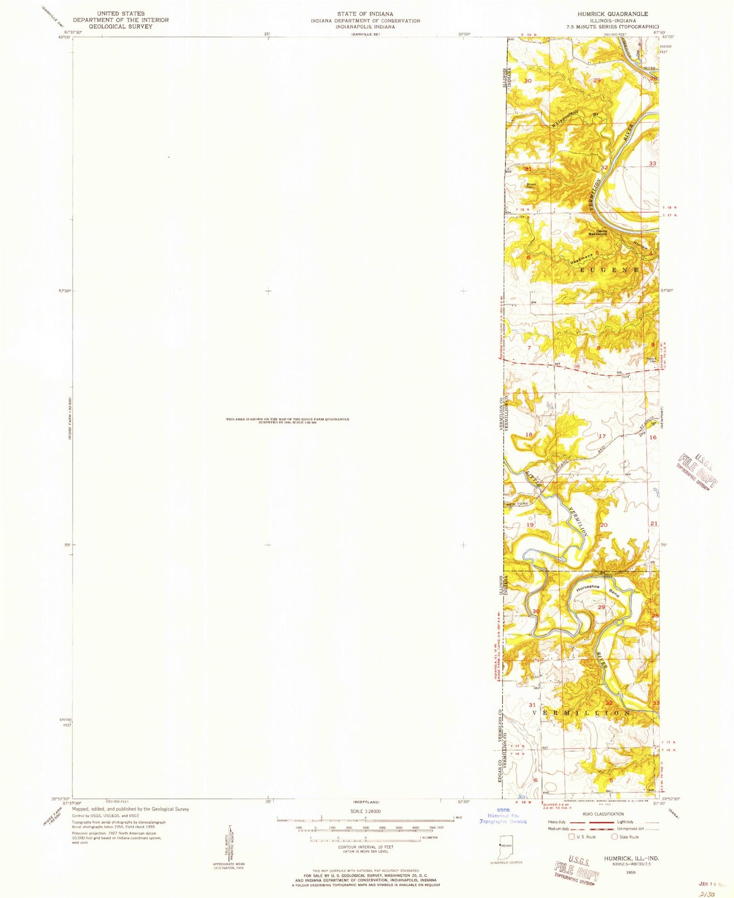
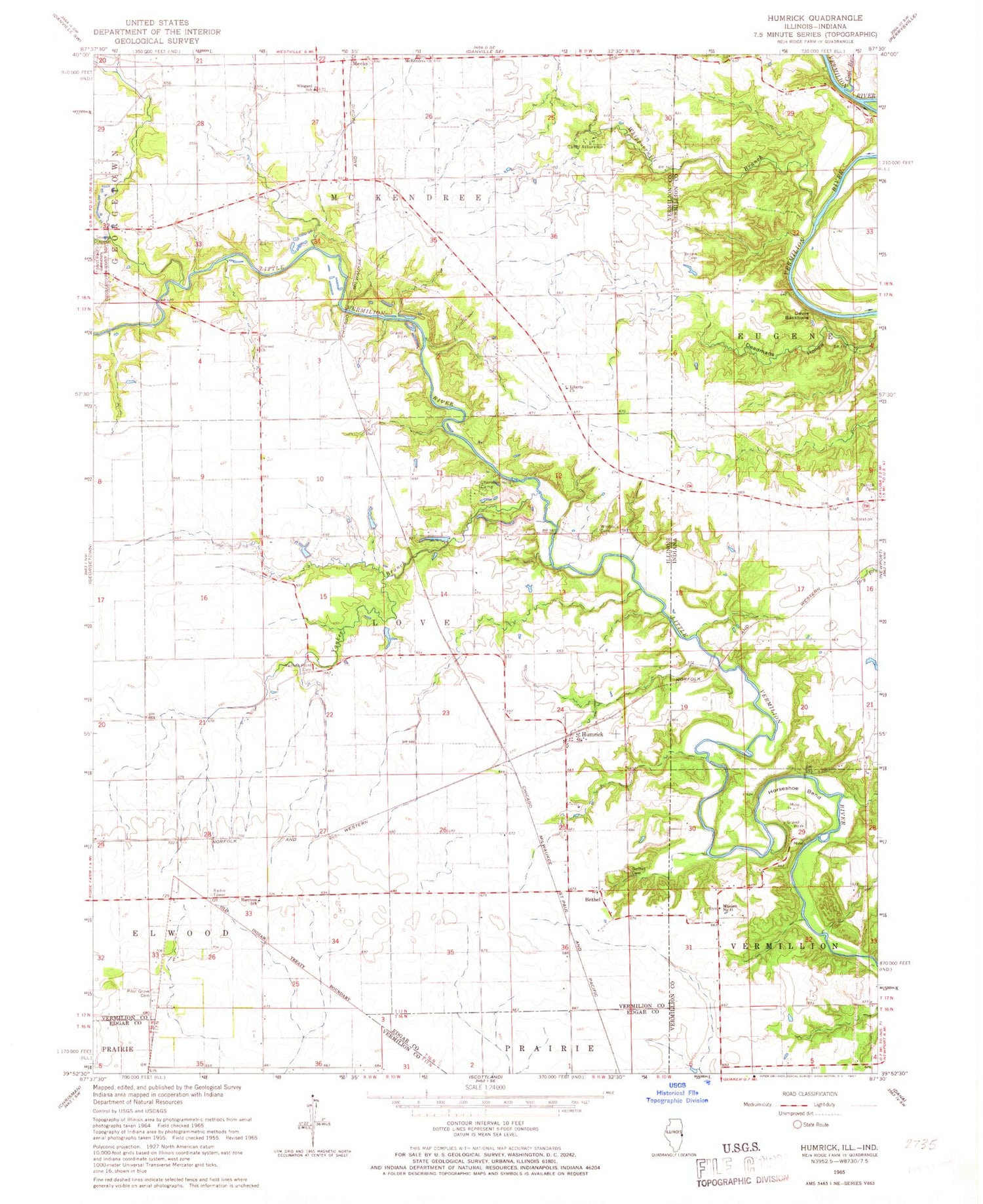
Classic USGS Humrick Illinois 7.5'x7.5' Topo Map
Couldn't load pickup availability
Historical USGS topographic quad map of Humrick in the states of Illinois, Indiana. Map scale may vary for some years, but is generally around 1:24,000. Print size is approximately 24" x 27"
This quadrangle is in the following counties: Edgar, Vermilion, Vermillion.
The map contains contour lines, roads, rivers, towns, and lakes. Printed on high-quality waterproof paper with UV fade-resistant inks, and shipped rolled.
Contains the following named places: Bethel, Bethel Cemetery, Brown Cemetery, Camp Assurance, Cherokee Hills Camp, Coal Branch, Deadmans Hollow, Devils Backbone, Elwood Cemetery, Elwood Church, Elwood School, Forest Park Cemetery, Harrison School, Horseshoe Bend, Humrick, Liberty Church, Liberty School, Little Vermilion River, Meeks, Mission Number 11, Oak Grove School, Patrick Cemetery, Pilot Grove Cemetery, Township of Love, Washington School, Whippoorwill Branch, Whitlock Cemetery, Wingard School, Yankee Branch, Yankee Branch Church, Yankee Point Cemetery, Yankee Point Church, ZIP Codes: 61846, 61870