MyTopo
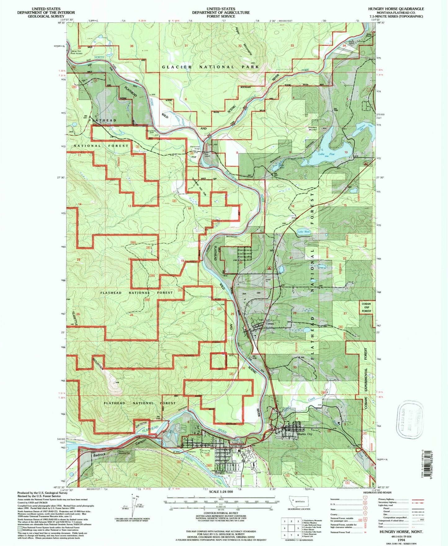
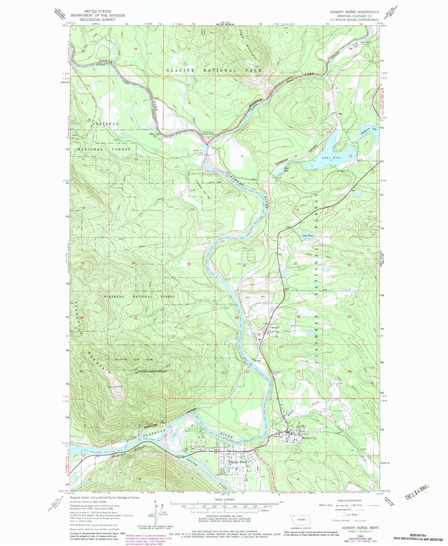
Classic USGS Hungry Horse Montana 7.5'x7.5' Topo Map
Couldn't load pickup availability
Historical USGS topographic quad map of Hungry Horse in the state of Montana. Map scale may vary for some years, but is generally around 1:24,000. Print size is approximately 24" x 27"
This quadrangle is in the following counties: Flathead.
The map contains contour lines, roads, rivers, towns, and lakes. Printed on high-quality waterproof paper with UV fade-resistant inks, and shipped rolled.
Contains the following named places: 30N20W02CCAA02 Well, 30N20W02CDBA01 Well, Abbot Creek, Abbott Creek Bridge, Badrock Canyon, Berne Memorial Park, Blankenship Bridge, Blankenship Rural Fire Department, Canyon Community Church, Canyon Community School, Canyon Quick Response Unit, Canyon RV and Campground, Coram, Coram - West Glacier Volunteer Fire Department, Coram Bridge, Coram Census Designated Place, Coram Forest Service Station, Coram Post Office, Coram RV Park, Coram School, Crooked Tree Motel and RV Park, Crosswaites, Duval RV and Bike Park, Flathead River Ranger Station, Glacier Bible Camp, Grizzly, Halfmoon Lake, Hungry Horse, Hungry Horse Baptist Church, Hungry Horse Campground, Hungry Horse Census Designated Place, Hungry Horse Chapel, Hungry Horse Post Office, Hungry Horse Ranger Station, Hungry Horse Volunteer Fire Department, Lake Five, Lake Five Post Office, Lake Five School, Lake West, Lion Hill Baptist Church, Martin City, Martin City Census Designated Place, Martin City Post Office, Martin City Rural Fire Department Station 16, Martin City Rural Fire Department Station 16 Litz Hall, Martin City School, Middle Fork Flathead River, Middle Fork Motel and RV Park, Miles, Mountain Meadow RV Park and Campground, Mud Lake, North American RV Park and Campground, North American Wildlife Museum, North Fork Flathead River, Rubideau Creek, San Suz-Ed Trailer Park Campground, Sloan Ranch, South Fork Abbot Creek, South Fork Flathead River, Stipes Trailer Court, Sundance RV Campground, Swanberg Mountain, Teakettle Mountain