MyTopo
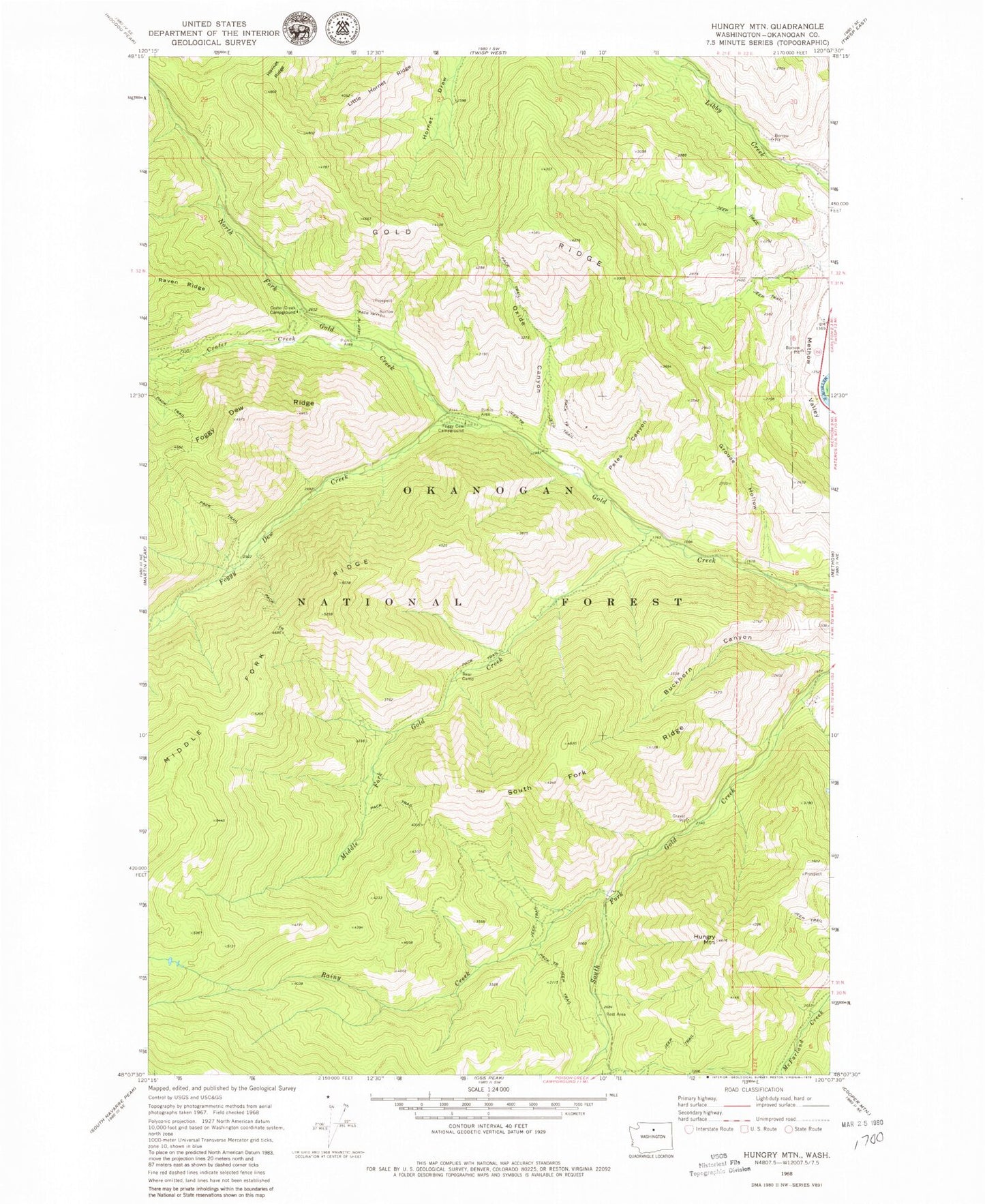
Classic USGS Hungry Mountain Washington 7.5'x7.5' Topo Map
Couldn't load pickup availability
Historical USGS topographic quad map of Hungry Mountain in the state of Washington. Map scale may vary for some years, but is generally around 1:24,000. Print size is approximately 24" x 27"
This quadrangle is in the following counties: Okanogan.
The map contains contour lines, roads, rivers, towns, and lakes. Printed on high-quality waterproof paper with UV fade-resistant inks, and shipped rolled.
Contains the following named places: Bear Camp, Buckhorn Canyon, Crater Creek, Crater Creek Campground, Foggy Dew Campground, Foggy Dew Creek, Foggy Dew Ranger Station, Gold Ridge, Grouse Hollow, Hornet Ridge, Hungry Mountain, Little Hornet Ridge, Middle Fork Gold Creek, North Fork Gold Creek, Oxide Canyon, Petes Canyon, Rainy Creek, South Fork Gold Creek, South Fork Ridge, Vinegar Lake, ZIP Code: 98814