MyTopo
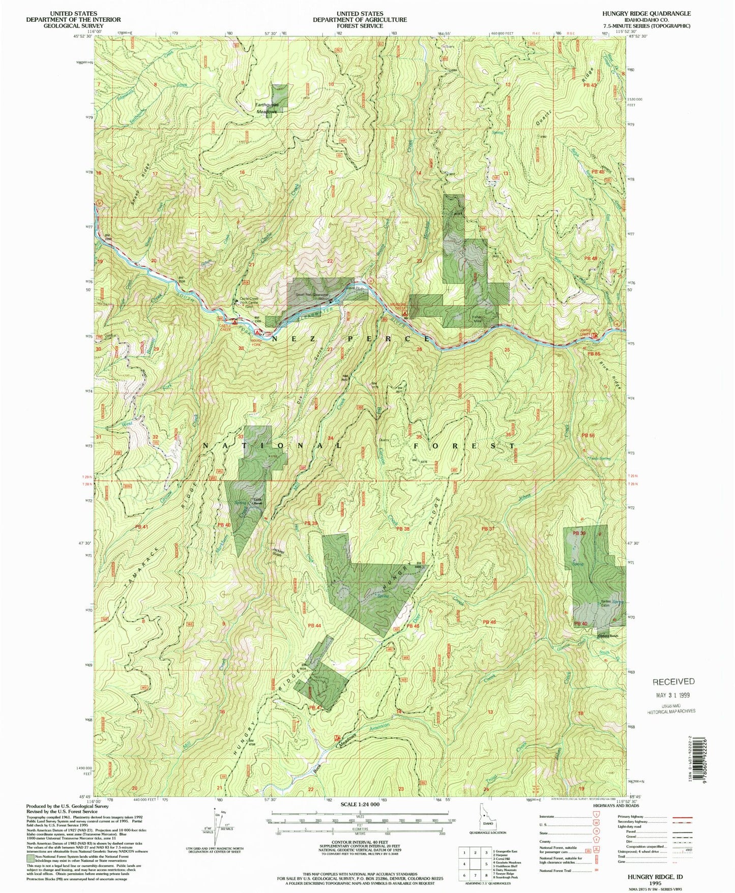
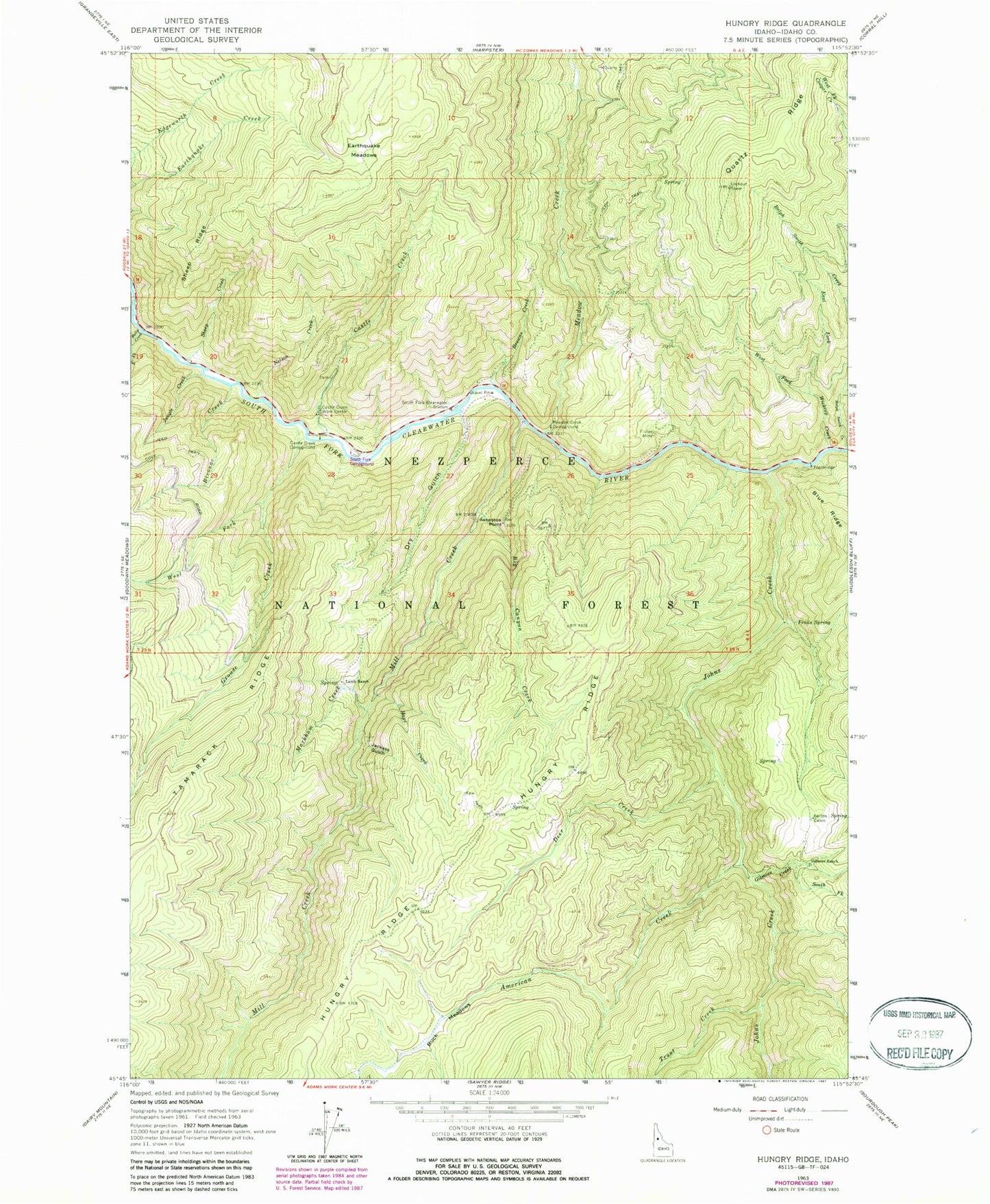
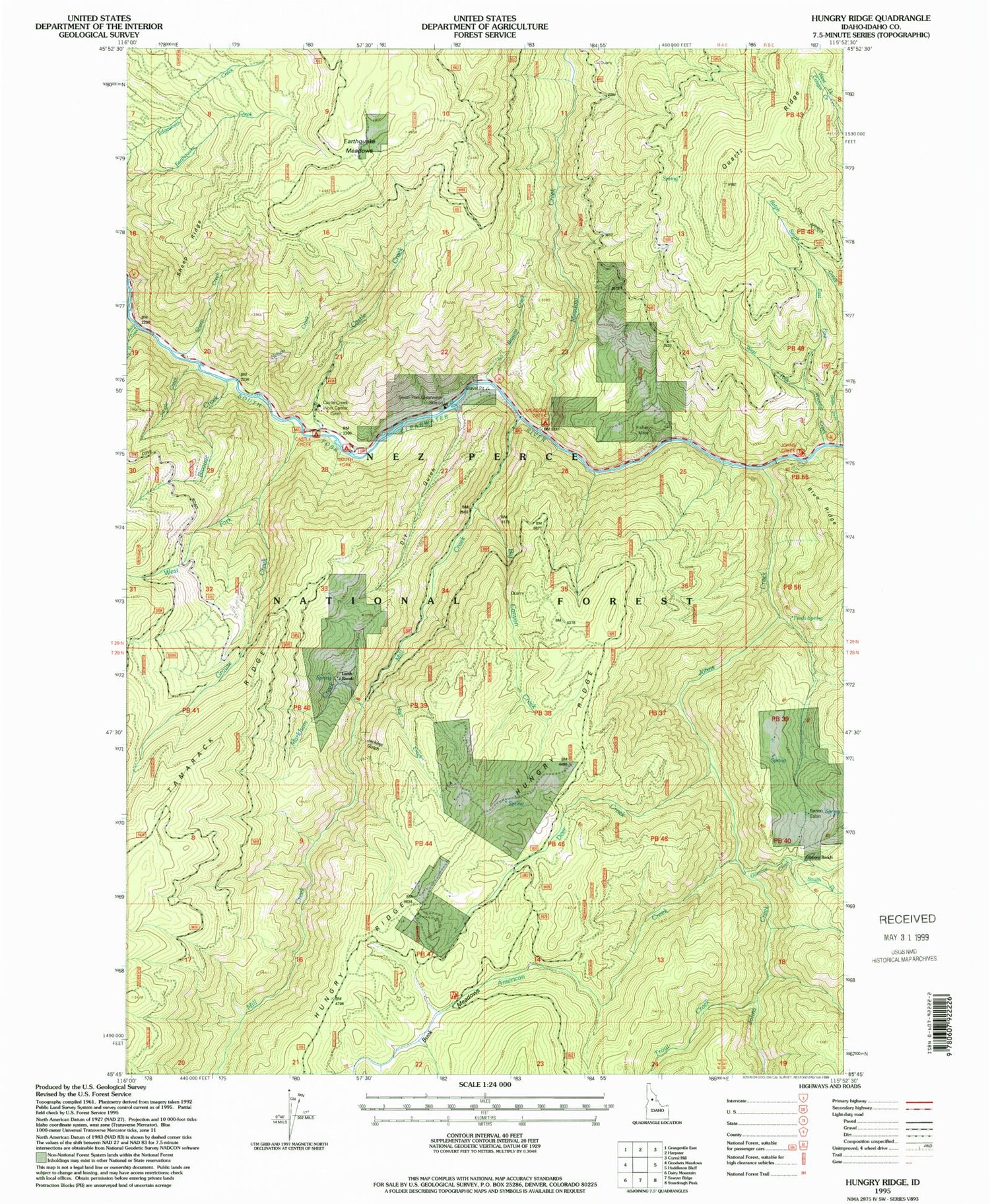
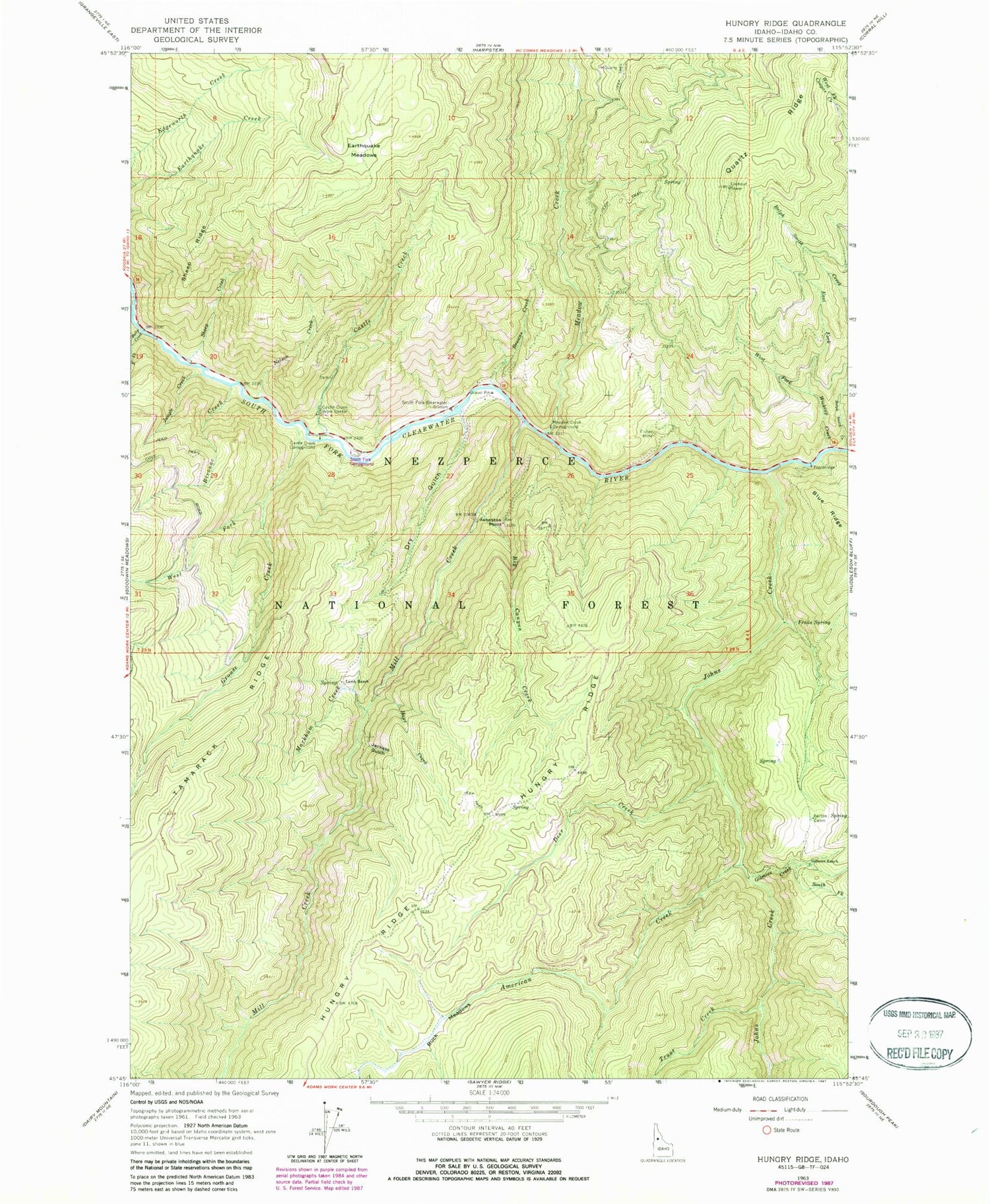
Classic USGS Hungry Ridge Idaho 7.5'x7.5' Topo Map
Couldn't load pickup availability
Historical USGS topographic quad map of Hungry Ridge in the state of Idaho. Map scale may vary for some years, but is generally around 1:24,000. Print size is approximately 24" x 27"
This quadrangle is in the following counties: Idaho.
The map contains contour lines, roads, rivers, towns, and lakes. Printed on high-quality waterproof paper with UV fade-resistant inks, and shipped rolled.
Contains the following named places: American Creek, Asbestos Point, Barton Cabin, Big Canyon Creek, Bivouac Creek, Browns Creek, Buck Meadows, Bully Creek, Castle Creek, Castle Creek Campground, Castle Creek Work Center, Deer Creek, Dry Gulch, Earthquake Meadows, East Fork Wickiup Creek, Fisher Mine, Freds Spring, Gilmore Creek, Gilmore Ranch, Grouse Creek, Hays Creek, Hungry Ridge Ranch Airport, Jackass Gulch, Johns Creek, Jungle Creek, Lamb Ranch, Markham Creek, Meadow Creek, Meadow Creek Campground, Mill Creek, Nelson Creek, Quartz Ridge, Ralph Smith Creek, Sheep Creek, Sheep Ridge, South Fork Campground, South Fork Clearwater Station, South Fork Gilmore Creek, Tamarack Ridge, Trout Creek, West Fork Grouse Creek, West Fork Wickiup Creek, Wickiup Creek


