MyTopo
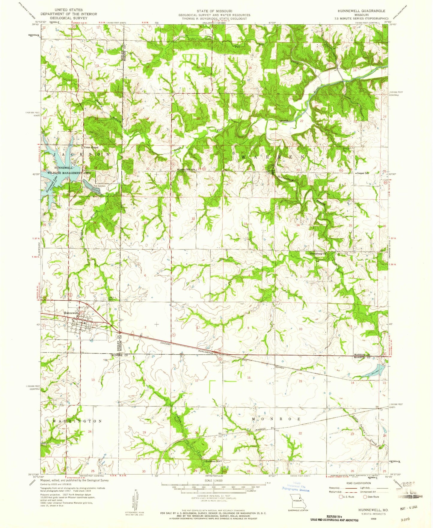
Classic USGS Hunnewell Missouri 7.5'x7.5' Topo Map
Couldn't load pickup availability
Historical USGS topographic quad map of Hunnewell in the state of Missouri. Map scale may vary for some years, but is generally around 1:24,000. Print size is approximately 24" x 27"
This quadrangle is in the following counties: Marion, Monroe, Shelby.
The map contains contour lines, roads, rivers, towns, and lakes. Printed on high-quality waterproof paper with UV fade-resistant inks, and shipped rolled.
Contains the following named places: Barr School, Browne Branch, Buckman School, City of Hunnewell, City of Monroe Dam A, Colored School, Cooper School, Deer Lick, Hickory Hill School, Howe Cemetery, Hunnewell, Hunnewell Lake, Hunnewell Lake Dam, Hunnewell Post Office, Hunnewell Wildlife Management Area, Jones Branch, Lyell Airport, Monroe Lake A, Pee Dee Creek, Sharpsburg, Sharpsburg Baptist Church, Sharpsburg Branch, Sherry Branch, Union Chapel, Union Chapel School