MyTopo
Classic USGS Hunt Arizona 7.5'x7.5' Topo Map
Regular price
$16.95
Regular price
Sale price
$16.95
Unit price
per
Couldn't load pickup availability
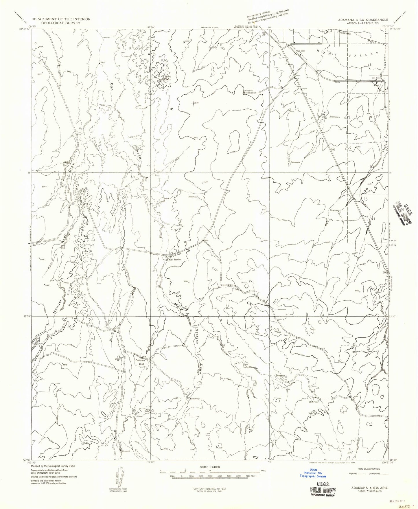
Historical USGS topographic quad map of Hunt in the state of Arizona. Map scale may vary for some years, but is generally around 1:24,000. Print size is approximately 24" x 27"
This quadrangle is in the following counties: Apache.
The map contains contour lines, roads, rivers, towns, and lakes. Printed on high-quality waterproof paper with UV fade-resistant inks, and shipped rolled.
Contains the following named places: Dad Patterson Tank, Fenceline Tank, Haumont Dam, Hunt, Jays Well, Little Colorado River Bridge, Mail Station Draw, Manuel Seep Draw, Old Mail Station, Patterson Tank, Powder Puff Landing Strip, ZIP Code: 85924