MyTopo
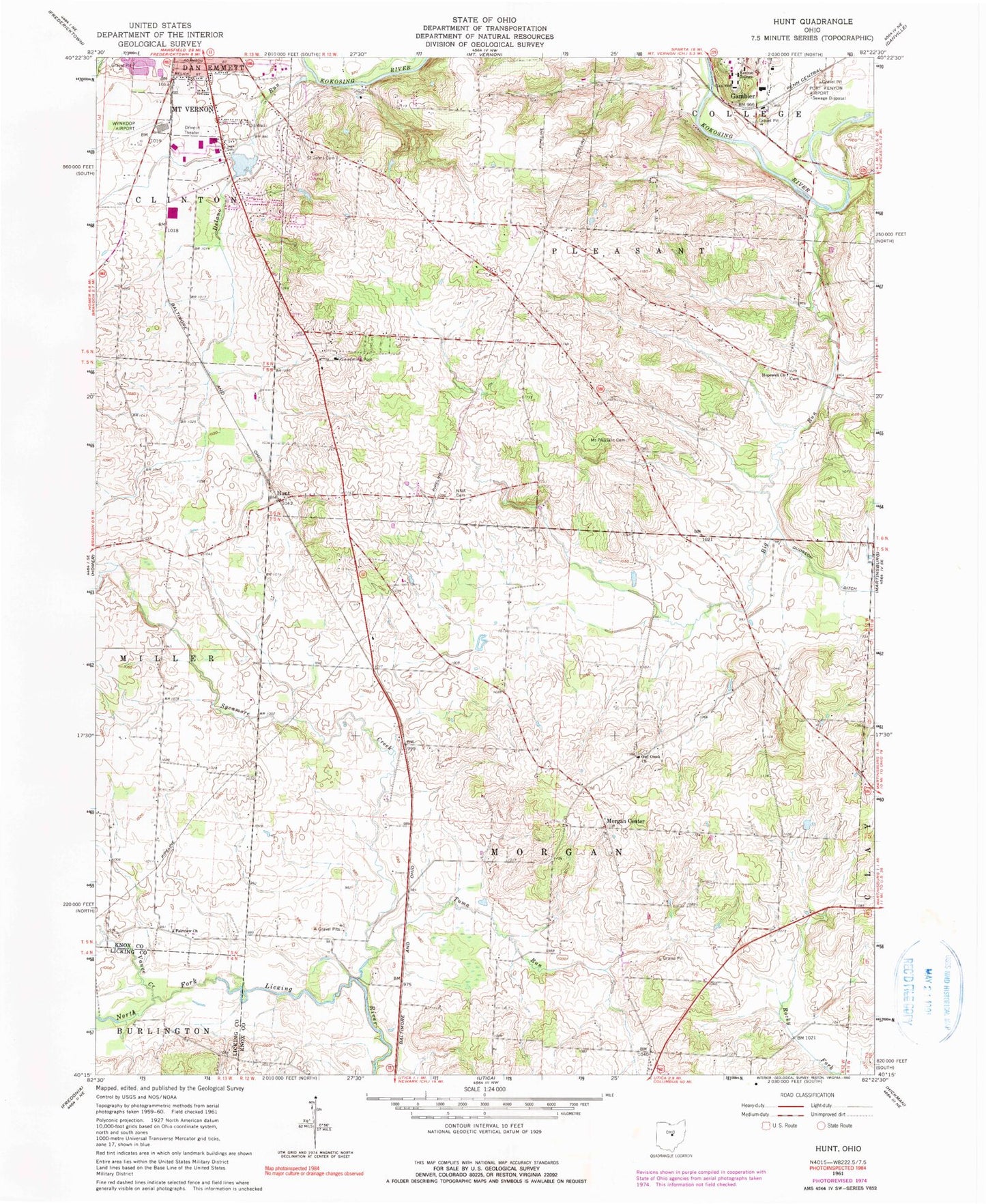
Classic USGS Hunt Ohio 7.5'x7.5' Topo Map
Couldn't load pickup availability
Historical USGS topographic quad map of Hunt in the state of Ohio. Map scale may vary for some years, but is generally around 1:24,000. Print size is approximately 24" x 27"
This quadrangle is in the following counties: Knox, Licking.
The map contains contour lines, roads, rivers, towns, and lakes. Printed on high-quality waterproof paper with UV fade-resistant inks, and shipped rolled.
Contains the following named places: Ascension Hall, Baars Tennis Courts, Bedell School, Big Run, Bolton Theatre, Bushnell Hall, Chalmers Library, Chambers Creek, Cherry Hall School, Columbia School, Coon Hill School, Delano Run, Dempsey Hall, Edelstein House, Episcopal Church of the Holy Spirit, Ernst Athletic-Recreation-Convocation Center, Evergreen Farm, Ewart School, Fairview Cemetery, Fairview Church, Glen Hill Orchards, Graham School, Hanna Hall, Higley Hall, Hopewell Cemetery, Hopewell Church, Hopewell School, Hunt, Hunt Post Office, Irish Hills Golf Course, Kenyon Cemetery, Kenyon College, Lafayette School, Leonard Hall, Manning Hall, McBride Field, Morgan Center, Morgan Center Post Office, Morgan School, Mount Pleasant Cemetery, Mount Vernon Country Club, Mount Vernon Fire Department Station 492, Muckshaw Run, Muckshaw School, N N A Cemetery, Old Kenyon Hall, Olin Library, Owl Creek Cemetery, Owl Creek Church, Owl Creek Stream, Peirce Hall, Pine Hill School, Port Kenyon Airport, Prairie Farm, Prairie Town Farm, Ransom Hall, Republican Valley Farm, Rosse Hall, Saint Johns Cemetery, Samuel Mather Hall, School Number 3, Shaffer Speech Building, Shennadoah Farm, Stephens Hall, Storer Hall, Sunset Cottage, Sycamore Creek, Sycamore Valley Farm, Timberlake House, Tomsich Hall, Township of College, Township of Morgan, Township of Pleasant, Tuma Run, Tuma Run School, Vance Creek, Vance School, Walton House, Watson Hall, Wertheimer Fieldhouse, Whiteoak School, Wing Center, WKCO-FM (Gambier), WNZR-FM (Mount Vernon), Wynkoop Airport, ZIP Code: 43050


