MyTopo
Classic USGS Hunter West Arkansas 7.5'x7.5' Topo Map
Couldn't load pickup availability
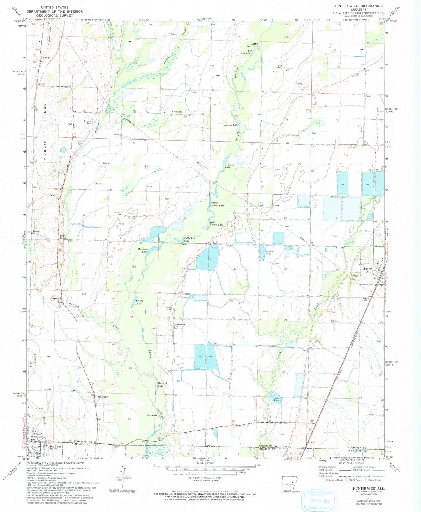
Historical USGS topographic quad map of Hunter West in the state of Arkansas. Map scale may vary for some years, but is generally around 1:24,000. Print size is approximately 24" x 27"
This quadrangle is in the following counties: Monroe, St. Francis, Woodruff.
The map contains contour lines, roads, rivers, towns, and lakes. Printed on high-quality waterproof paper with UV fade-resistant inks, and shipped rolled.
Contains the following named places: Becton, Big York Lake, Blue Lake, Brushy Lake, Buffalo Creek, Buzzard Lake, Casey, Casey Cemetery, Cotton Plant Volunteer Fire Department, Crowder Cemetery, Crowder Church, Four Forks, Holly Cemetery, Howell, Howell Post Office, Hunter, Hunter Post Office, Johnson Lake, Lake Grove Cemetery, Little York Lake, Locust Slough, Lower Seibert Lake, McGregor, Morrison Lake, Mount Zion Church, Nubbin Ridge, Oak Ridge Church, Polly Ann Lake, Reneau Cemetery, Spivey Lake, Union Church, Upper Seibert Lake