MyTopo
Classic USGS Hunter Louisiana 7.5'x7.5' Topo Map
Couldn't load pickup availability
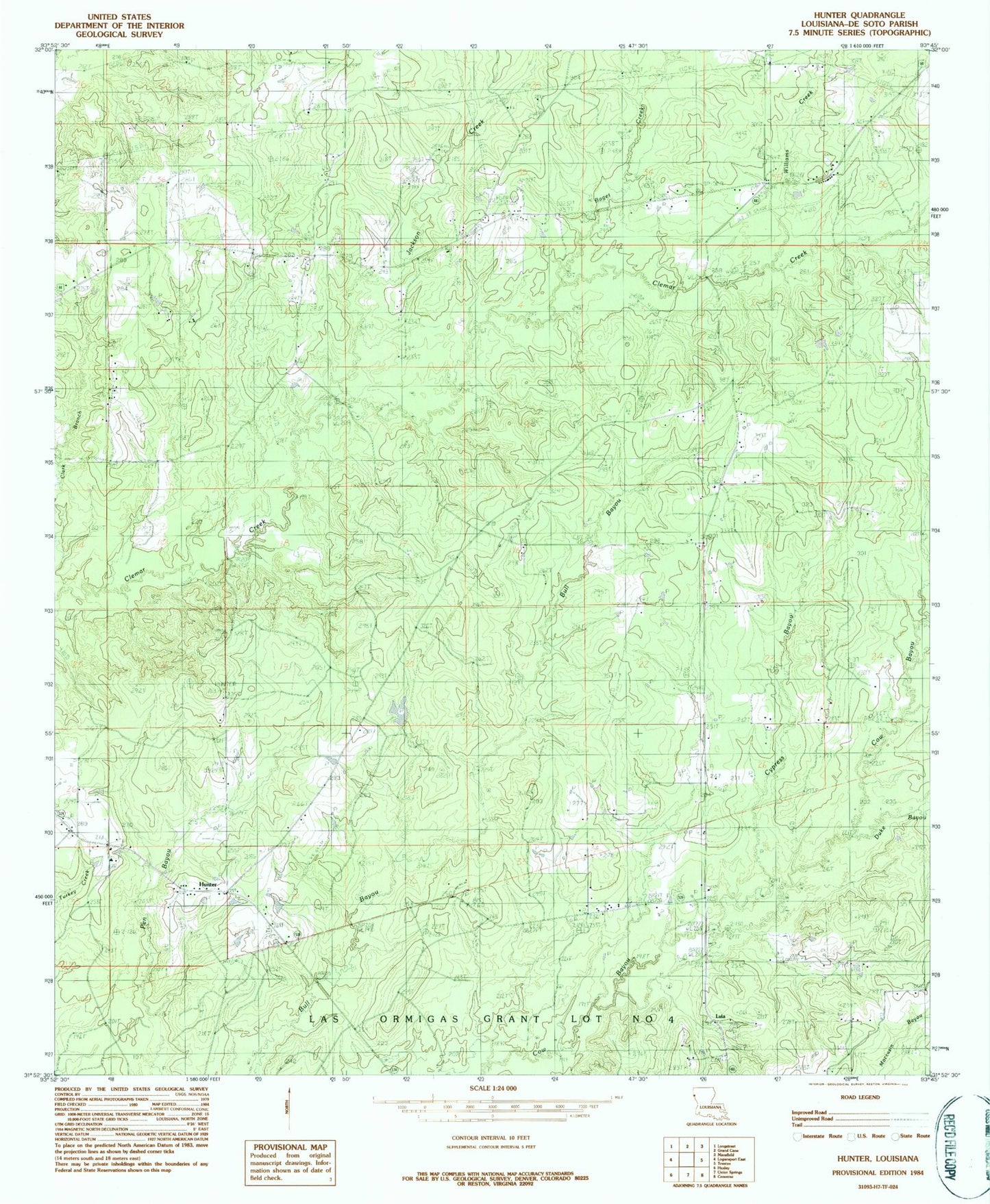
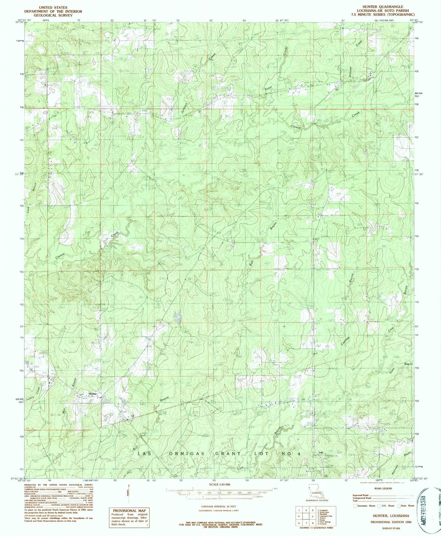
Historical USGS topographic quad map of Hunter in the state of Louisiana. Map scale may vary for some years, but is generally around 1:24,000. Print size is approximately 24" x 27"
This quadrangle is in the following counties: De Soto.
The map contains contour lines, roads, rivers, towns, and lakes. Printed on high-quality waterproof paper with UV fade-resistant inks, and shipped rolled.
Contains the following named places: Baget Creek, Barber Cemetery, Beulah Church, Catuna Gas Field, Cook, Cypress Bayou, Duke Bayou, Ebenezer Cemetery, Hunter, Hunter Lookout Tower, Jackson Creek, Lenoir, Lula, Lula Gas Field, Lula School, Magnolia Baptist Church, Morning Glory Church, New Bethany Church, Parish Governing Authority District 1C, Pollard Cemetery, Prude Cemetery, Shady Grove Cemetery, Shady Grove United Methodist Church, Spider, Spider Gas Field, Third Ward School, Ward Three, Williams Creek