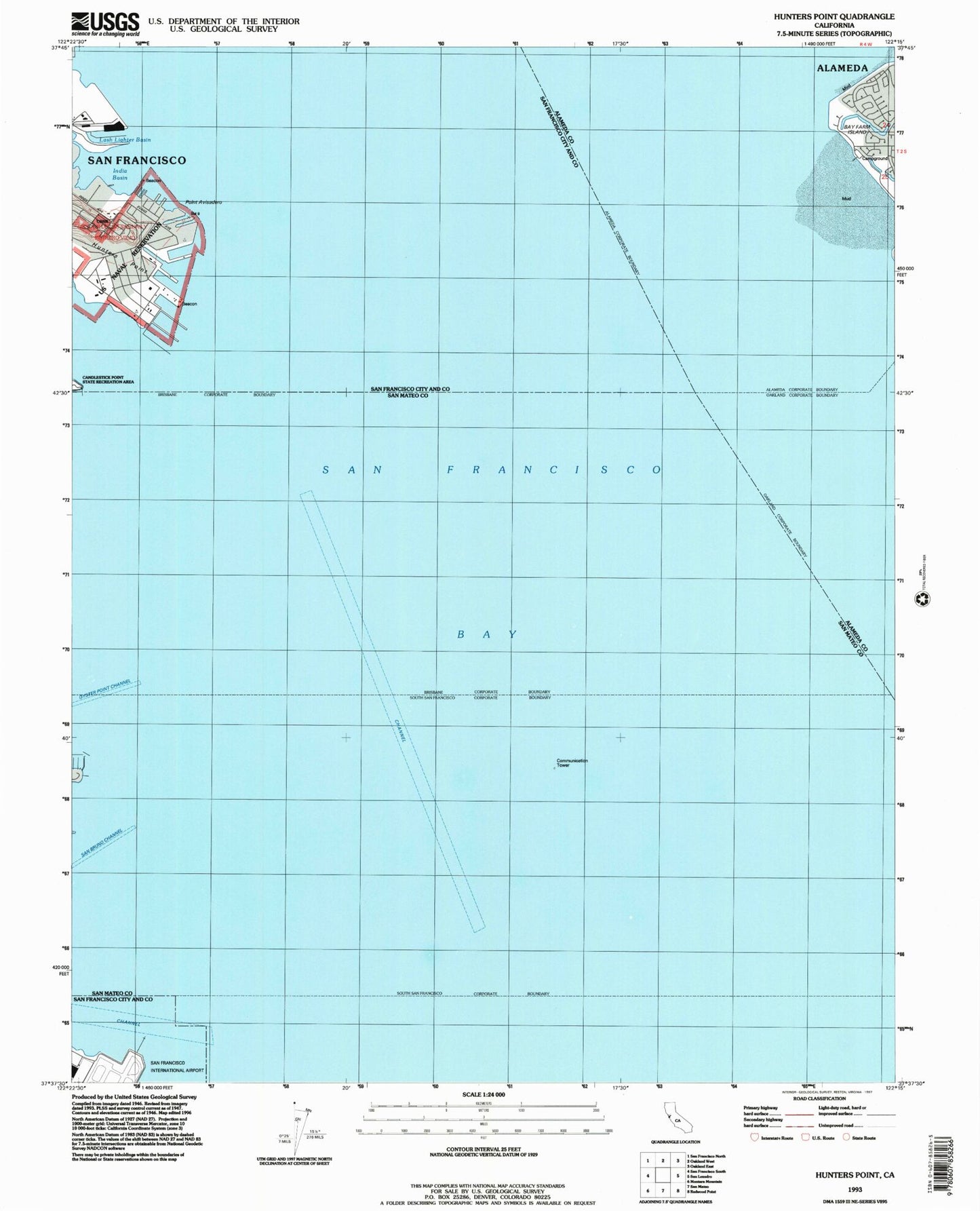
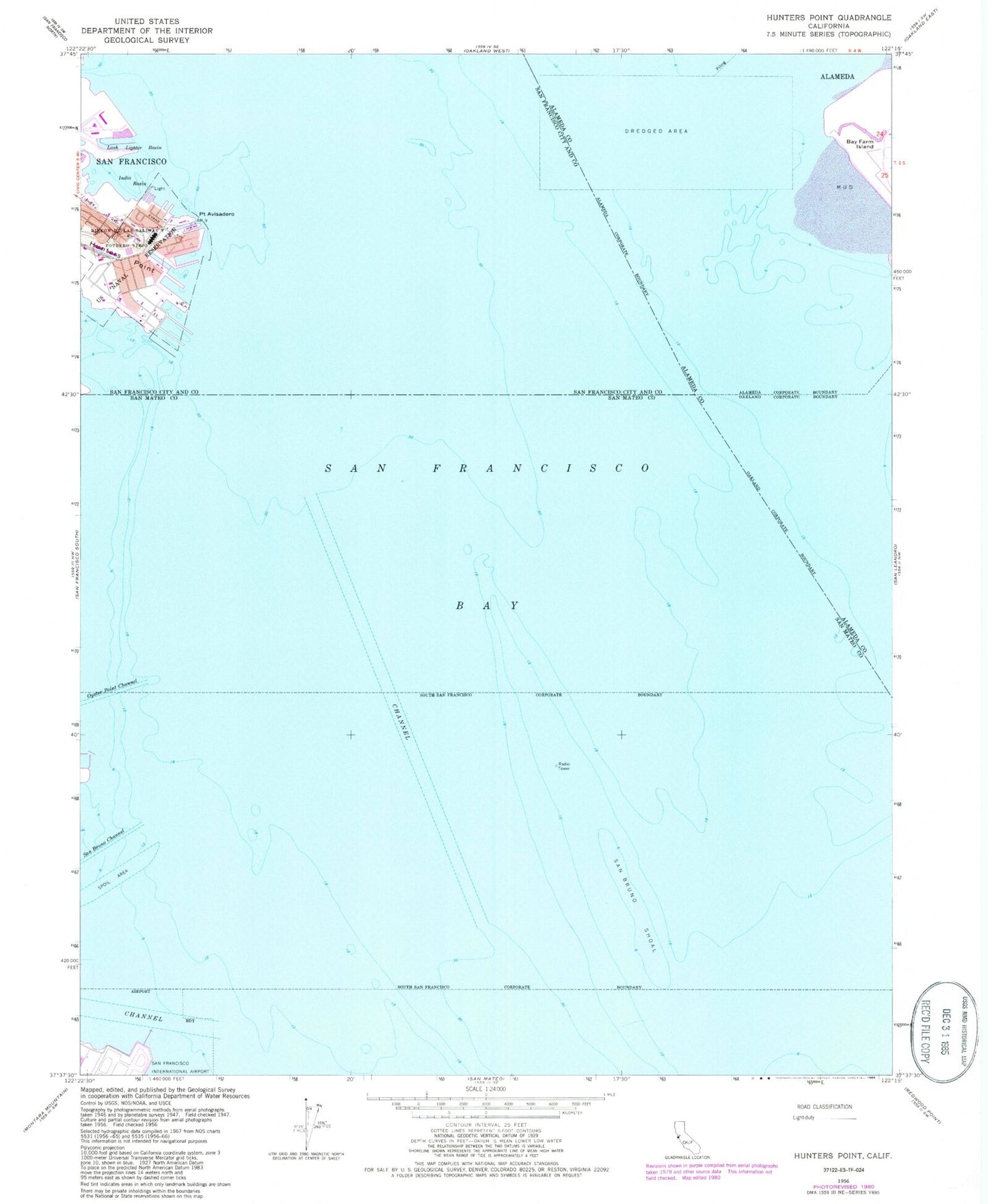
MyTopo
Classic USGS Hunters Point California 7.5'x7.5' Topo Map
Couldn't load pickup availability
Historical USGS topographic quad map of Hunters Point in the state of California. Map scale may vary for some years, but is generally around 1:24,000. Print size is approximately 24" x 27"
This quadrangle is in the following counties: Alameda, San Francisco, San Mateo.
The map contains contour lines, roads, rivers, towns, and lakes. Printed on high-quality waterproof paper with UV fade-resistant inks, and shipped rolled.
Contains the following named places: Alameda City Fire Department Station 4, Bay Farm School, City of Brisbane, City of South San Francisco, Hunters Point, Hunters Point Annex, Hunters Point Naval Shipyard, India Basin, Lash Lighter Basin, Pier 94, Pier 96, Pier 98, Point Avisadero, San Bruno Channel, San Bruno Shoal, San Francisco Bay