MyTopo
Classic USGS Huntingdon Tennessee 7.5'x7.5' Topo Map
Couldn't load pickup availability
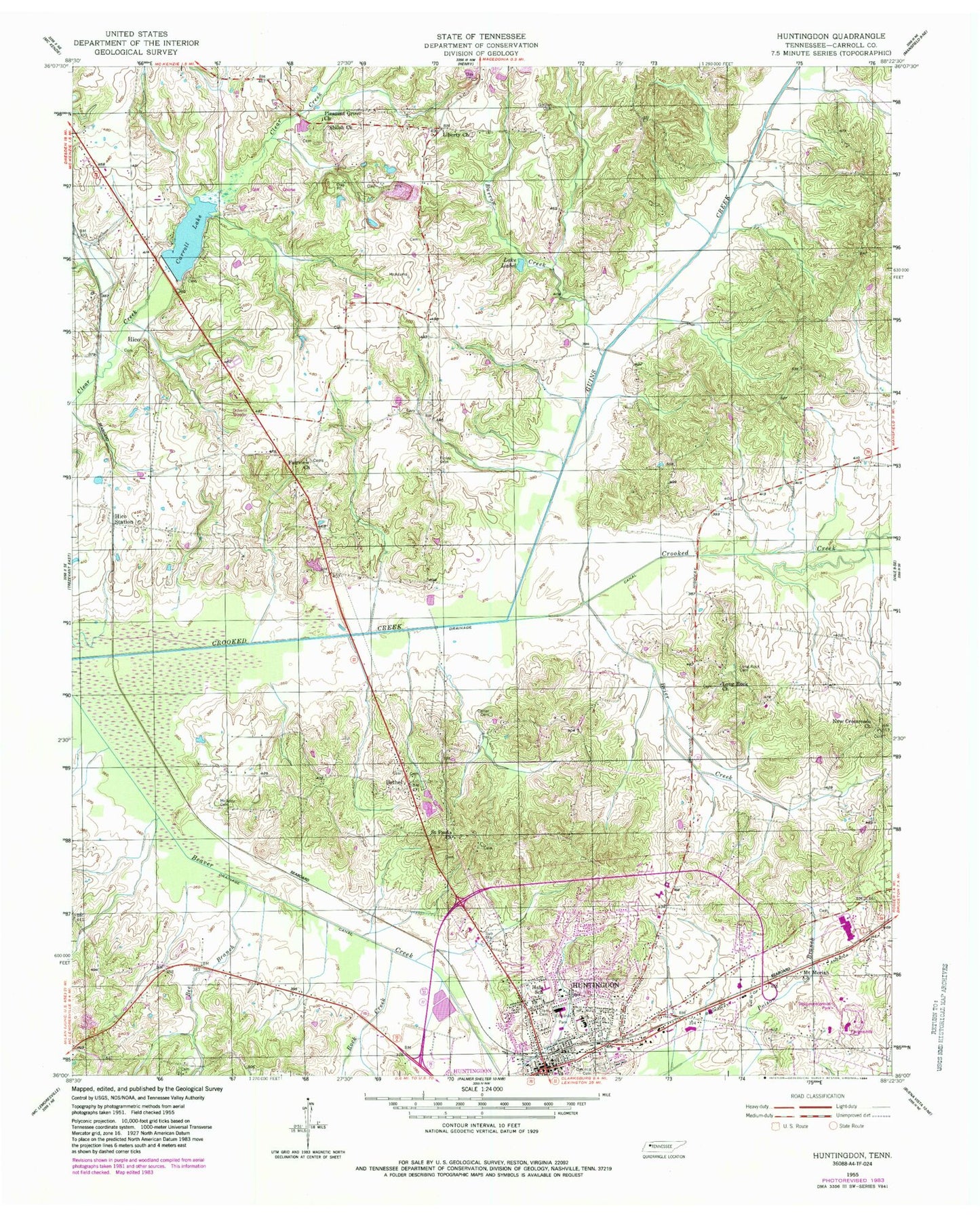
Historical USGS topographic quad map of Huntingdon in the state of Tennessee. Map scale may vary for some years, but is generally around 1:24,000. Print size is approximately 24" x 27"
This quadrangle is in the following counties: Carroll.
The map contains contour lines, roads, rivers, towns, and lakes. Printed on high-quality waterproof paper with UV fade-resistant inks, and shipped rolled.
Contains the following named places: Baptist Memorial Hospital Carroll County, Beaver Academy, Bee Branch, Bethel, Bethel Baptist Church, Bethel Cemetery, Brier Creek, Burrow Creek, Carroll County Airport, Carroll County Courthouse, Carroll County Sheriff's Office, Carroll County Vocational Center, Carroll Lake, Carroll Lake Dam, Carroll Rural Volunteer Fire Department, Carter Cemetery, Clark Cemetery, Commissioner District 5, Commissioner District 9, District 25, District 4, District 9, Edwards Park, Fairview, Fairview Baptist Church, Fairview Cemetery, Finley Cemetery, Gordon Cemetery, Guins Creek, Hale School, Hawkins Cemetery, Hico, Hico School, Hico Station, Huntingdon, Huntingdon Division, Huntingdon Elementary School, Huntingdon Fire Department Station 2, Huntingdon High School, Huntingdon Junior High School, Huntingdon Plaza Shopping Center, Huntingdon Police Department, Huntingdon Post Office, Huntingdon Sewage Lagoon Dam, Huntingdon Sewage Lagoon Lake, Lake Isabel, Liberty Church, Long Rock, Long Rock Cemetery, Long Rock Church, McAdoo Cemetery, Mount Moriah Church, New Crossroads Church, New Hope Baptist Church, Oak Hill Cemetery, Pleasant Grove Primitive Baptist Church, Rock Creek, Saint Paul Cemetery, Saint Pauls Church, Sesquicentennial Park, Shiloh Cemetery, Shiloh Church, Shiloh School, Town of Huntingdon, WJPJ-AM (Huntingdon)


