
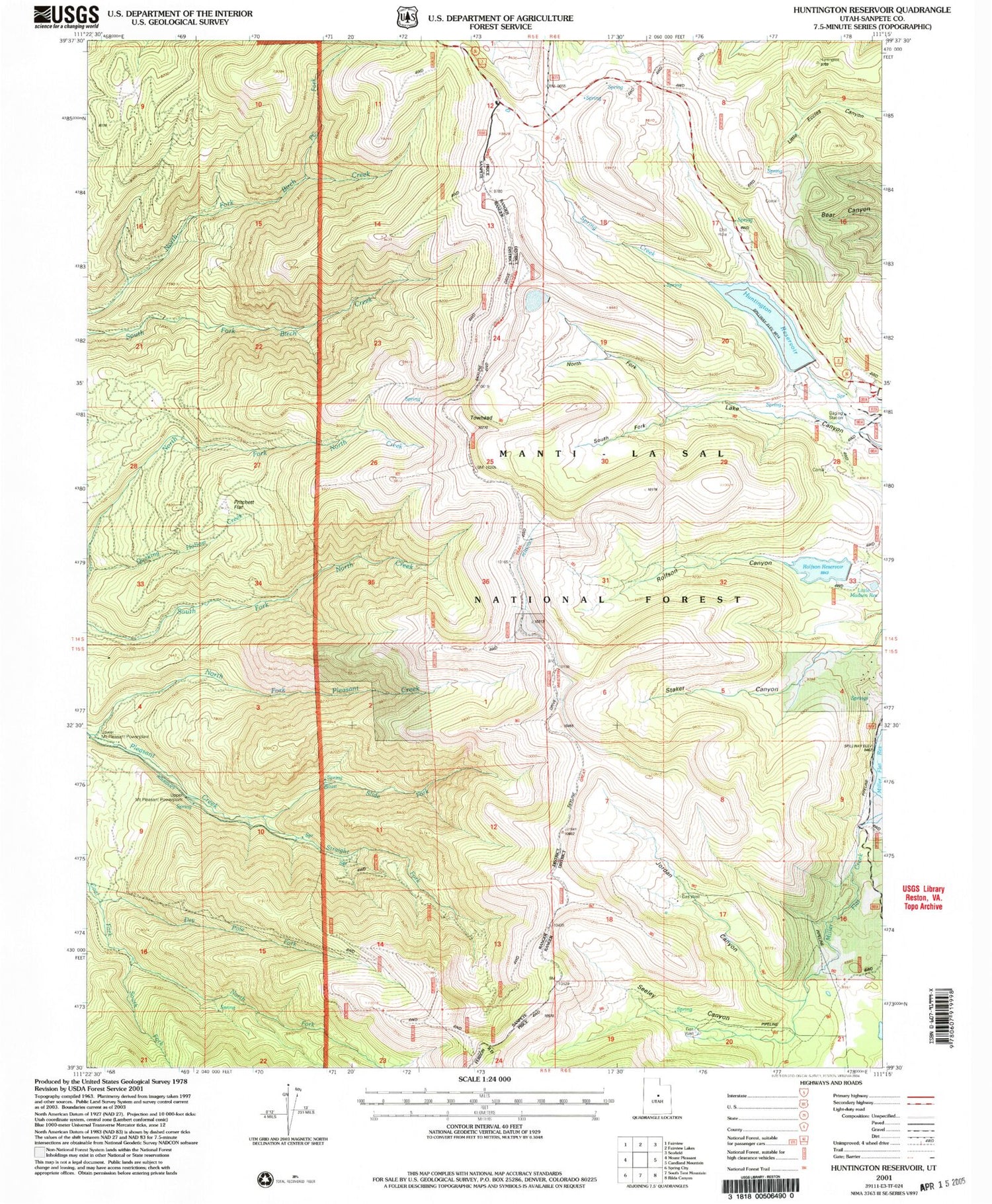
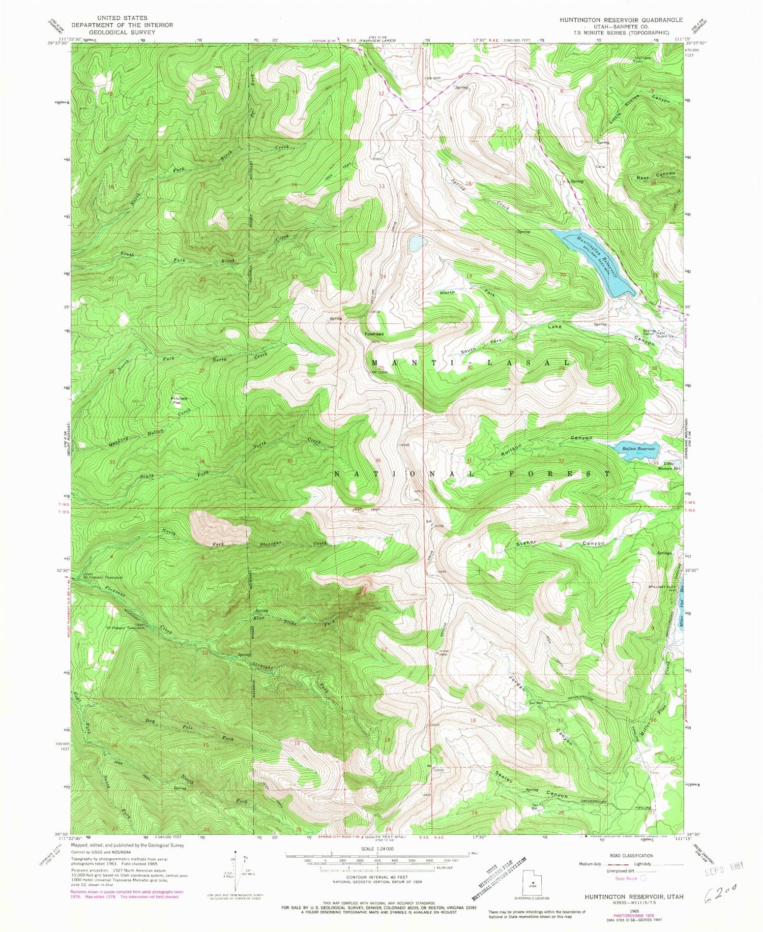
MyTopo
Classic USGS Huntington Reservoir Utah 7.5'x7.5' Topo Map
Couldn't load pickup availability
Historical USGS topographic quad map of Huntington Reservoir in the state of Utah. Map scale may vary for some years, but is generally around 1:24,000. Print size is approximately 24" x 27"
This quadrangle is in the following counties: Sanpete.
The map contains contour lines, roads, rivers, towns, and lakes. Printed on high-quality waterproof paper with UV fade-resistant inks, and shipped rolled.
Contains the following named places: Blue Slide Fork, Dry Pole Fork, Huntington Dam, Huntington Reservoir, Huntington Reservoir Point of Interest, Jordan Canyon, Lake Guard Station, Little Madsen Reservoir, Mount Pleasant Powerplant, North Fork Coal Fork, North Fork Lake Canyon, North Fork Pleasant Creek, PC Fork, Pritchett Flat, Rolfson Canyon, Rolfson Reservoir, Rolfson Reservoir Dam, Sanpete Valley Overlook, Seeley Canyon, Seeley Ranch, South Fork Coal Fork, South Fork Lake Canyon, Spring Creek, Straight Fork, Towhead


