MyTopo
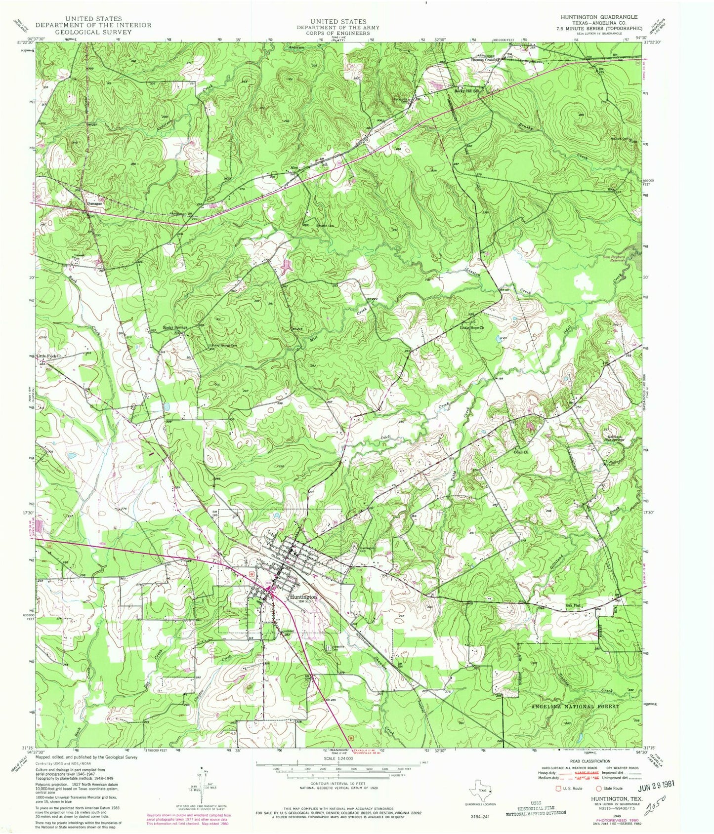
Classic USGS Huntington Texas 7.5'x7.5' Topo Map
Couldn't load pickup availability
Historical USGS topographic quad map of Huntington in the state of Texas. Map scale may vary for some years, but is generally around 1:24,000. Print size is approximately 24" x 27"
This quadrangle is in the following counties: Angelina.
The map contains contour lines, roads, rivers, towns, and lakes. Printed on high-quality waterproof paper with UV fade-resistant inks, and shipped rolled.
Contains the following named places: Alco, Angelina County, Angelina County Constable's Office Precinct 3, Castleberry Dam, Castleberry Lake, City of Huntington, Doe Creek, Dunagan, Dunham Hill, Hans Lake, Hans Lake Dam, Huntington, Huntington Cemetery, Huntington City Hall, Huntington Intermediate School, Huntington Police Department, Huntington Post Office, Huntington Volunteer Fire Department, Jonesville Cemetery, Linston Creek, Little Flock Church, Little Hope Church, McClure Cemetery, Mill Creek, Naren Cemetery, Oak Flat, Odell Church, Robinson Blue Springs, Rocky Hill Cemetery, Rocky Hill School, Rocky Springs, Rocky Springs Cemetery, Thomas Crossing, Traweek Cemetery, Tubbs Creek