MyTopo
Classic USGS Huntley Wyoming 7.5'x7.5' Topo Map
Couldn't load pickup availability
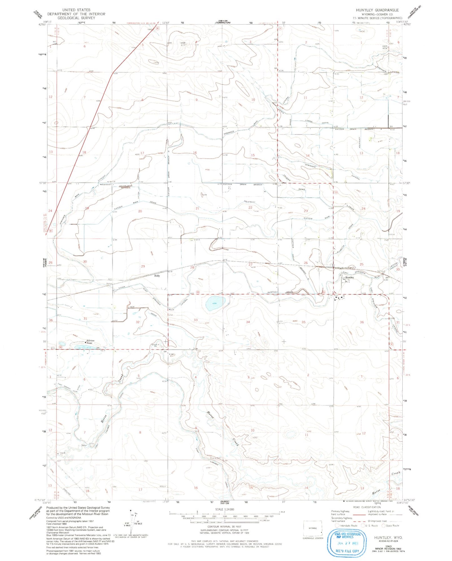
Historical USGS topographic quad map of Huntley in the state of Wyoming. Map scale may vary for some years, but is generally around 1:24,000. Print size is approximately 24" x 27"
This quadrangle is in the following counties: Goshen.
The map contains contour lines, roads, rivers, towns, and lakes. Printed on high-quality waterproof paper with UV fade-resistant inks, and shipped rolled.
Contains the following named places: East Goshen Hole Ditch, East Springer Main Lateral, Frazier Drain, Hillview Home, Holly, Huntley, Huntley Census Designated Place, Huntley Post Office, Jones Drain, J-Pen Drain, Katzer Dam Number 3, Katzer Drain Branch A, Katzer Drain Branch B, Katzer Drain Branch C, Katzer Drain Branch D, Katzer Main Drain, Katzer Reservoir Number 3, KERM-FM (Torrington), Kumelos Drain, Lamma Drain, Layton Drain, Layton Drain Branch A, Springer Lateral, Springer Main Lateral