MyTopo
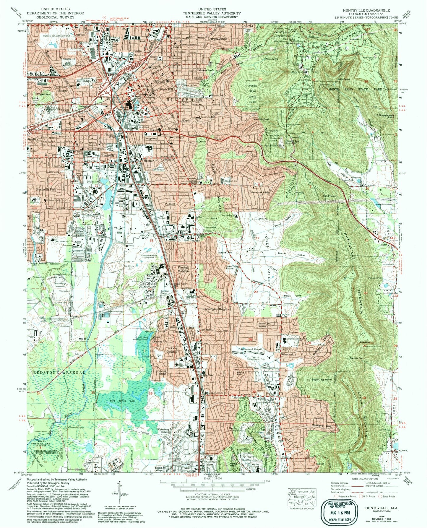
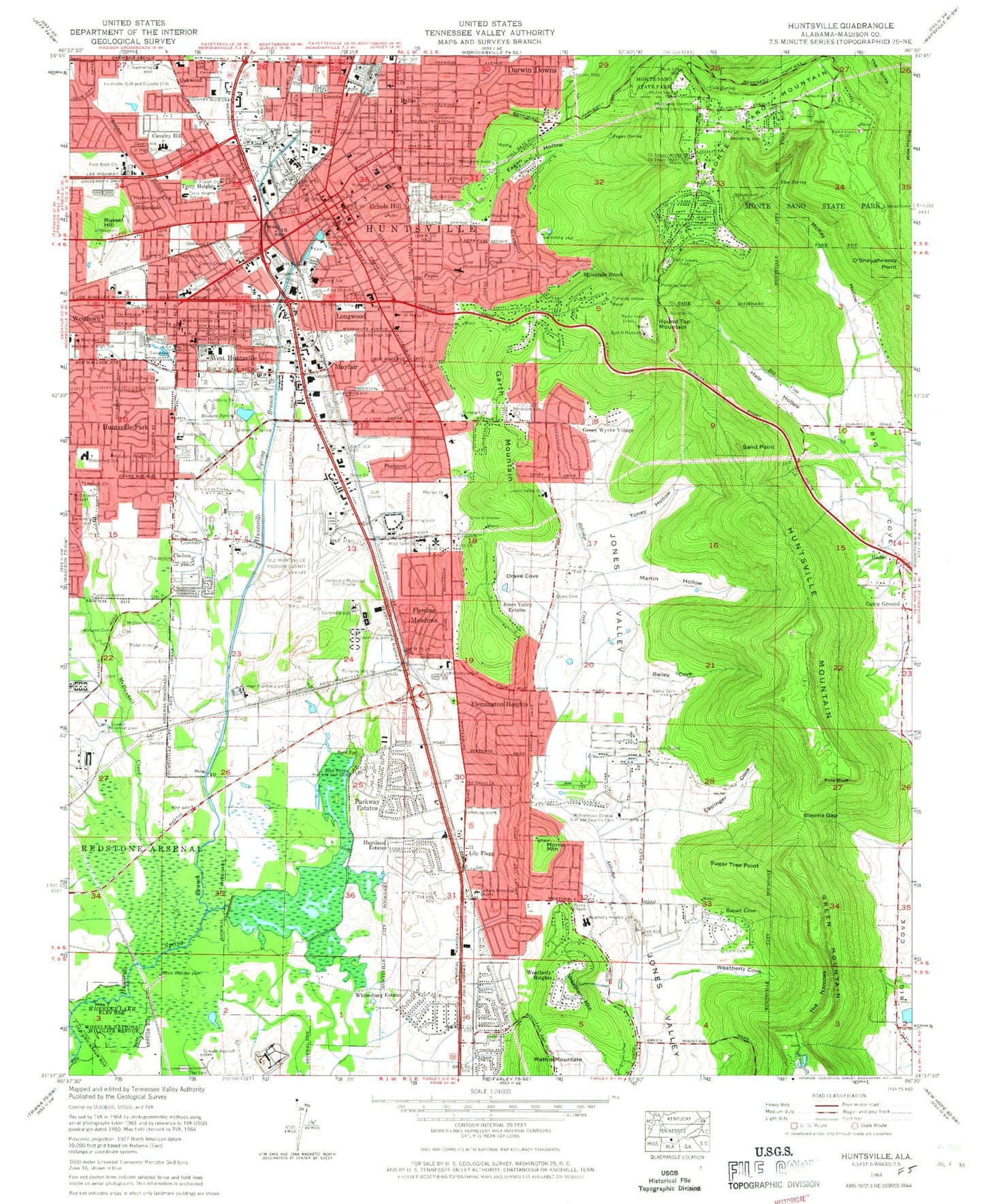
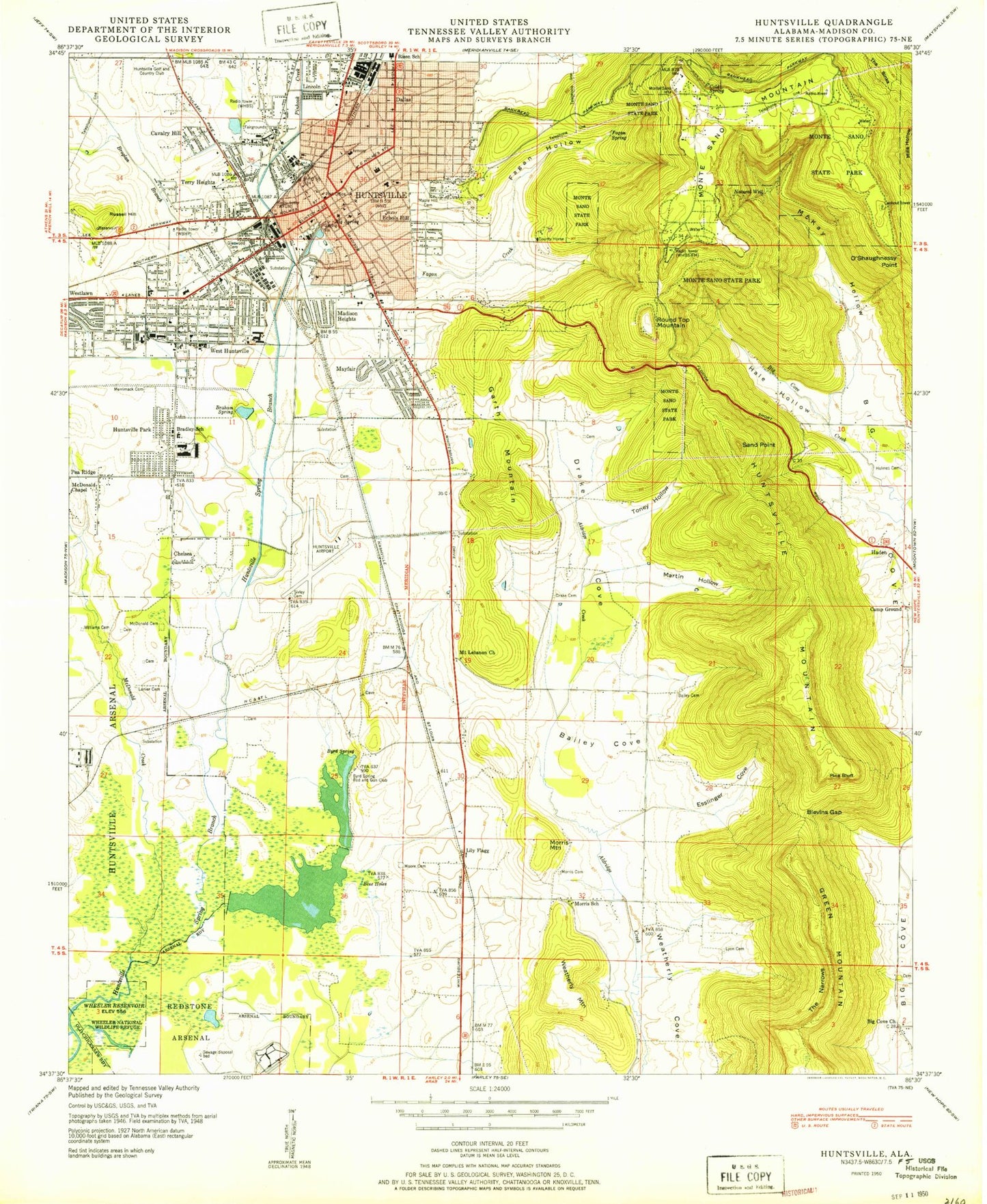
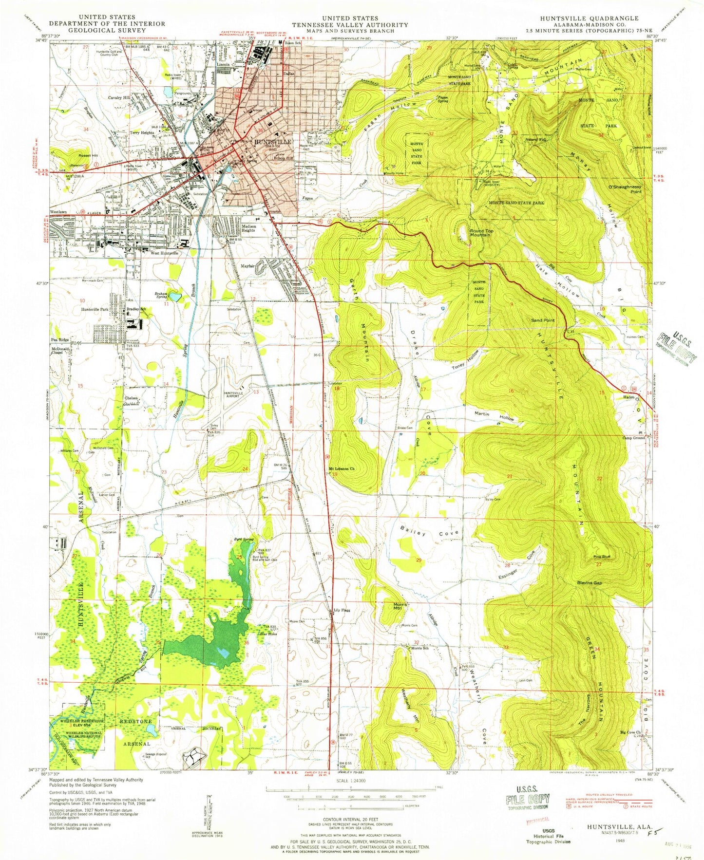
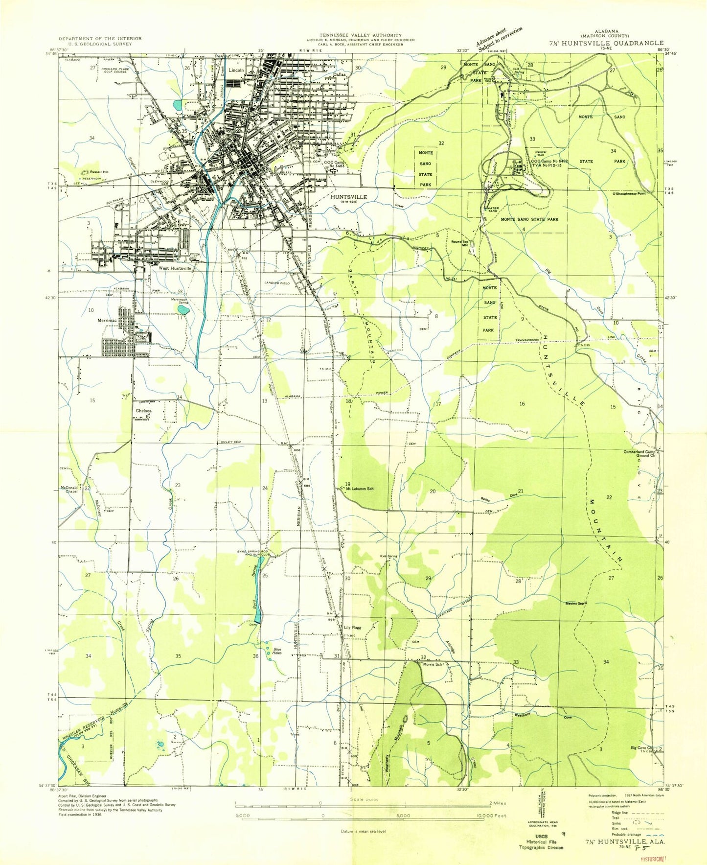
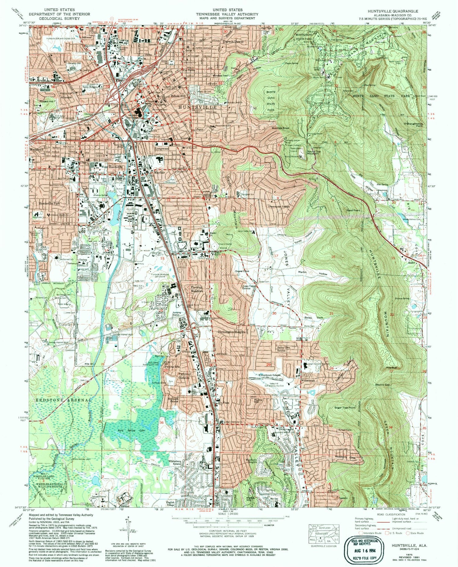
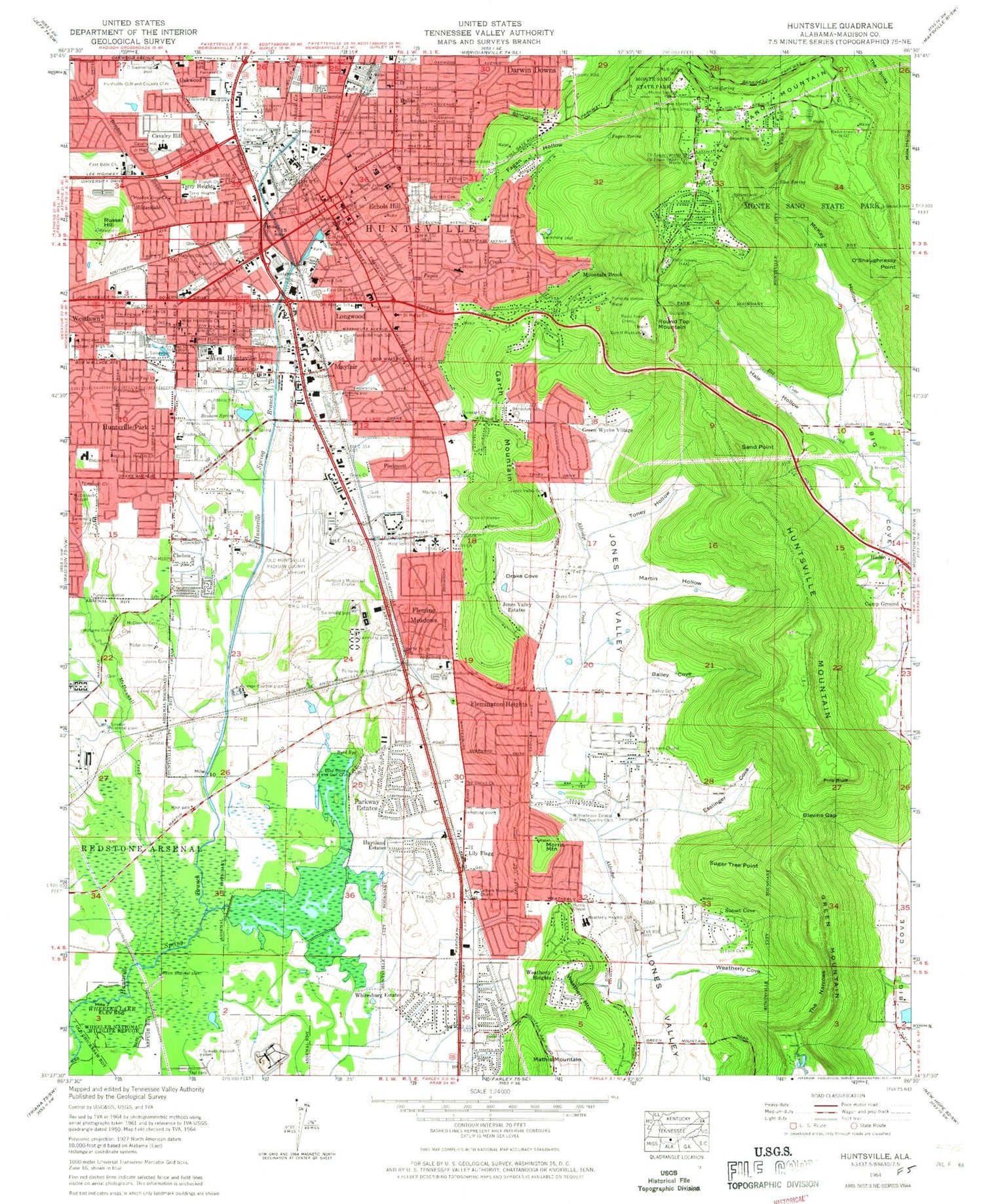
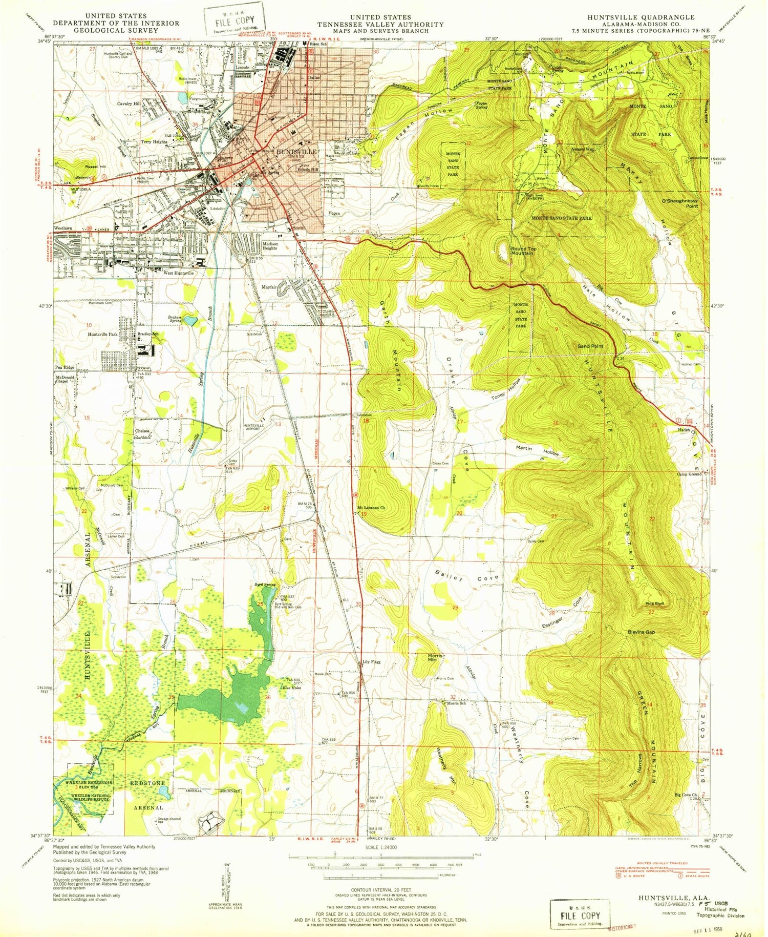
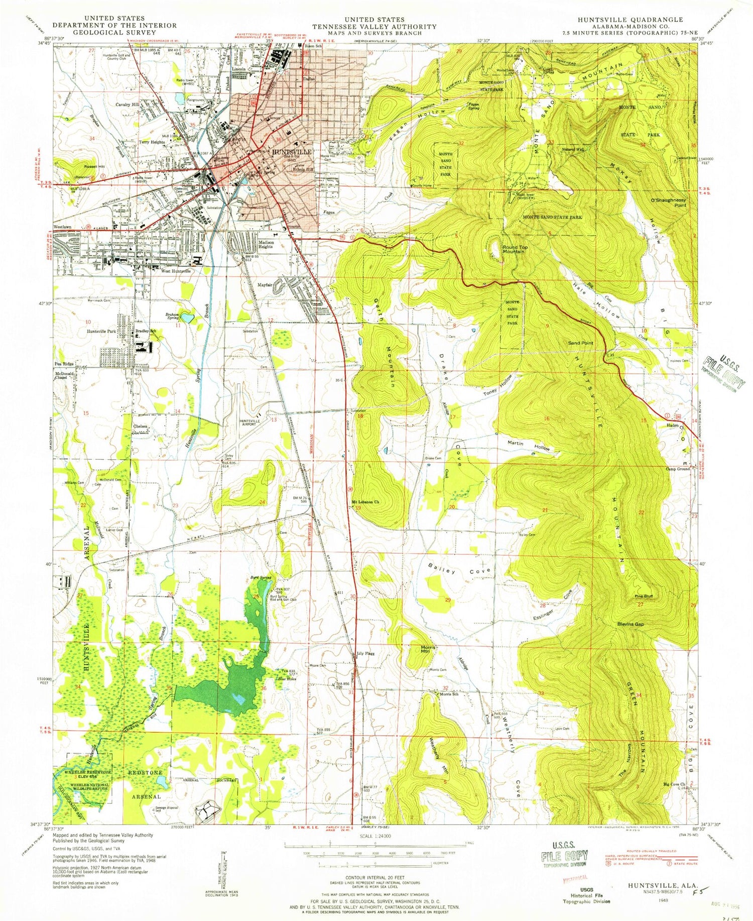
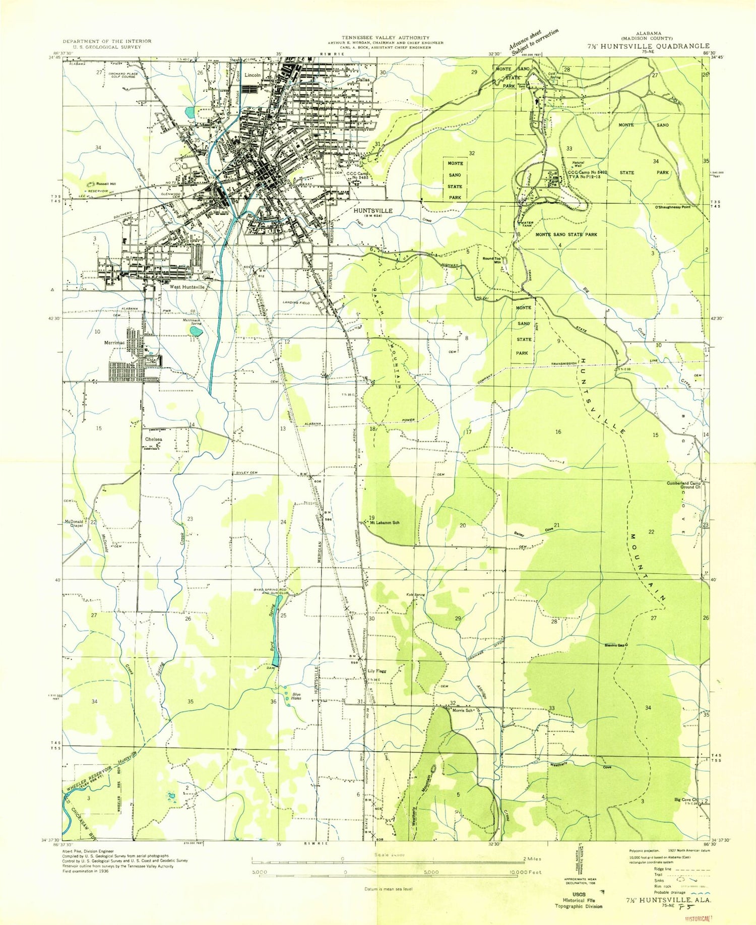
Classic USGS Huntsville Alabama 7.5'x7.5' Topo Map
Couldn't load pickup availability
Historical USGS topographic quad map of Huntsville in the state of Alabama. Typical map scale is 1:24,000, but may vary for certain years, if available. Print size: 24" x 27"
This quadrangle is in the following counties: Madison.
The map contains contour lines, roads, rivers, towns, and lakes. Printed on high-quality waterproof paper with UV fade-resistant inks, and shipped rolled.
Contains the following named places: Bailey Cemetery, Bailey Cove, Bailey Cove Estates, Big Spring, Blevins Gap, Blue Spring, Blue Spring, Brahan Spring, Brahan Spring Park, Broglan Branch, Burritt Museum, Byrd Spring, Byrd Spring Lake, Camelot, Cavalry Hill, Central Baptist Church, Chelsea, Cold Spring, Covenant Presbyterian Church, Memorial Southern Methodist Church, Dallas, Dallas Branch, Darwin Downs, Drake Cemetery, Drake Cove, Dry Creek, Echols Hill, Emmanuel Church of Christ, English Village, Esslinger Cove, Esther Church, Fagan Creek, Fagan Hollow, Fagan Spring, Faith Presbyterian Church, First Church, Five Points, Fleming Hills, Fleming Meadows, Flemington Heights, Garth Mountain, General Shoe Tank, Glenwood Cemetery, Grace Church, Grayson Cemetery, Greenwycke Village, Hale Hollow, Haysland Estates, Hillandale, Hillsboro Heights Baptist Church, Hillwood Baptist Church, Holy Spirit School, Huntsville High School, Huntsville Mountain, Huntsville Park, John Blue Co Tank, Jones Cemetery, Jones Valley Estates, Latham Memorial Church, Lily Flagg, Lincoln, Lyon Cemetery, Maple Hill Cemetery, Martin Hollow, Matkins Cemetery, Mayfair, McDonald Creek, McDonnell Cemetery, McKay Hollow, Merrimac Branch, Merrimack Cemetery, Monte Sano Church, Monte Sano Mountain, Monte Sano State Park, Moore - Holmes Cemetery, Morris Mountain, Mount Olive Church, Mountain Brook, O'Shaughnessy Point, Oak Park, Oakwood, Parkway Estates, Pickens Spring, Piedmont, Pine Bluff, Pinhook Creek, Randolph School, Round Top Mountain, Russell Hill, Sand Point, Sivley Cemetery, Sugar Tree Point, Sunset Cove, Terry Heights, The Narrows, The Sinks, Toney Hollow, Virgil Grissom High School, Von Braun Civic Center, Weatherly Cove, Weatherly Heights, Weatherly Mountain, West Huntsville, Whitesburg Estates, Willowbrook, Willowbrook Estates, Huntsville Field (historical), Piedmont Airport (historical), Madison County Nature Trail Lake, Madison County Nature Trail Dam, Archer Park, Ardmore Shopping Center, Bailey Cove Branch, Beirnes Avenue Holiness Church, Bel Air Estates, Belview Heights, Bible Chapel Church, Bierne Park, Big Cove Church (historical), Big Cove Pumping Station, Big Spring Park, Bluewood Estates, Bradley Junior High School, Bravo, Brison Memorial Chapel, Bucks Canyon, Butler Park, Byrd Spring Branch, Byrd Springs, Calhoun State Community College, California Street Park, Calvary Bible Church, Calvary Hill Neighborhood Center, Calvary Temple Assembly of God, Canterbury, Carry Hill City Park, Catholic Church of the Visitation, Cavalry Hill School, Cedar Point School (historical), Central Church of Christ, Central Plaza Shopping Center, Central Presbyterian Church, Central Seventh Day Adventist Church, Chelsea Park, Christ Chapel Spiritual Church, Christian Fellowship Church, Church of Christ, Church of Christ in God, Church of Christ at Lincoln, Church of God of Prophecy, Church of the Nativity, Clowers Shopping Center, Congregation Bnai-Sholom, Constitution Hall Park, Country Club Park, Crestwood Medical Center, Donegan Cemetery, Double Tree, Douglas Tabernacle, Drake Cove Branch, Dunnavants Mall Shopping Center, East Clinton Elementary School, East Huntsville Assembly of God Church, East Huntsville Baptist Church, East Huntsville Christian Church (historical), East Huntsville Church of Christ, Eldridge Street Church of God, English Terrace, Enon Baptist Church (historical), Esslinger Spring Branch, Esslinger Cove Branch, Etz Chayim Synagogue, Fagen Springs Estates, Fernbell Park, First Assembly of God Church, First Baptist Church, First Christian Church, First Church of Christ Science, First Church of God, First Church of the Nazarene, First Cumberland Presbyterian Church, First Methodist Church, First Presbyterian Church, Five Points Baptist Church, Five Points Ditch, Five Points Shopping Center, Forest Park, Friendship Missionary Baptist Church, Governors Drive Church of God, Grace Chapel Primitive Baptist Church, Grissom Park, Hamilton Square Shopping Center, Haysland Square Shopping Center, Heart of Huntsville Mall Shopping Center, Hermitage Park, Hillmont, Hillview Acres, Hillwood, Holmes Street Methodist Church, Holy Spirit Catholic Church, Huntsville Academy (historical), Huntsville Adult Education Center, Huntsville Baptist Temple, Huntsville Church of God, Huntsville City Infirmaries (historical), Huntsville Collegiate Institute (historical), Huntsville Female Academy (historical), Huntsville Freewill Baptist Church, Huntsville Hills, Huntsville Hospital, Huntsville Industrial Center, Huntsville Museum of Arts, Huntsville Park, Huntsville Park Baptist Church, Huntsville Running Park, Huntsville Sewage Treatment Plant, Whitesburg Gardens Health Care Center, Jackson Way Baptist Church, Jamison Park, Joe B Shirley Lookout Tower, Joe Davis Stadium, Jones Valley Recreation Center, Kennamer Shopping Center, Kingdom Hall of Jehovahs Witnesses, Lane Plaza Shopping Center, Liberty Bible Fellowship Church, Lily Flagg Club, Lincoln Elementary School, Lincoln Memorial Baptist Church, Logan Park, Lorretta Academy (historical), Mayfair Park, Meadow Trace, Huntsville Hospital for Women and Children, Milton Frank Stadium, Monte Sano Baptist Church
