MyTopo
Classic USGS Hupa Mountain California 7.5'x7.5' Topo Map
Couldn't load pickup availability
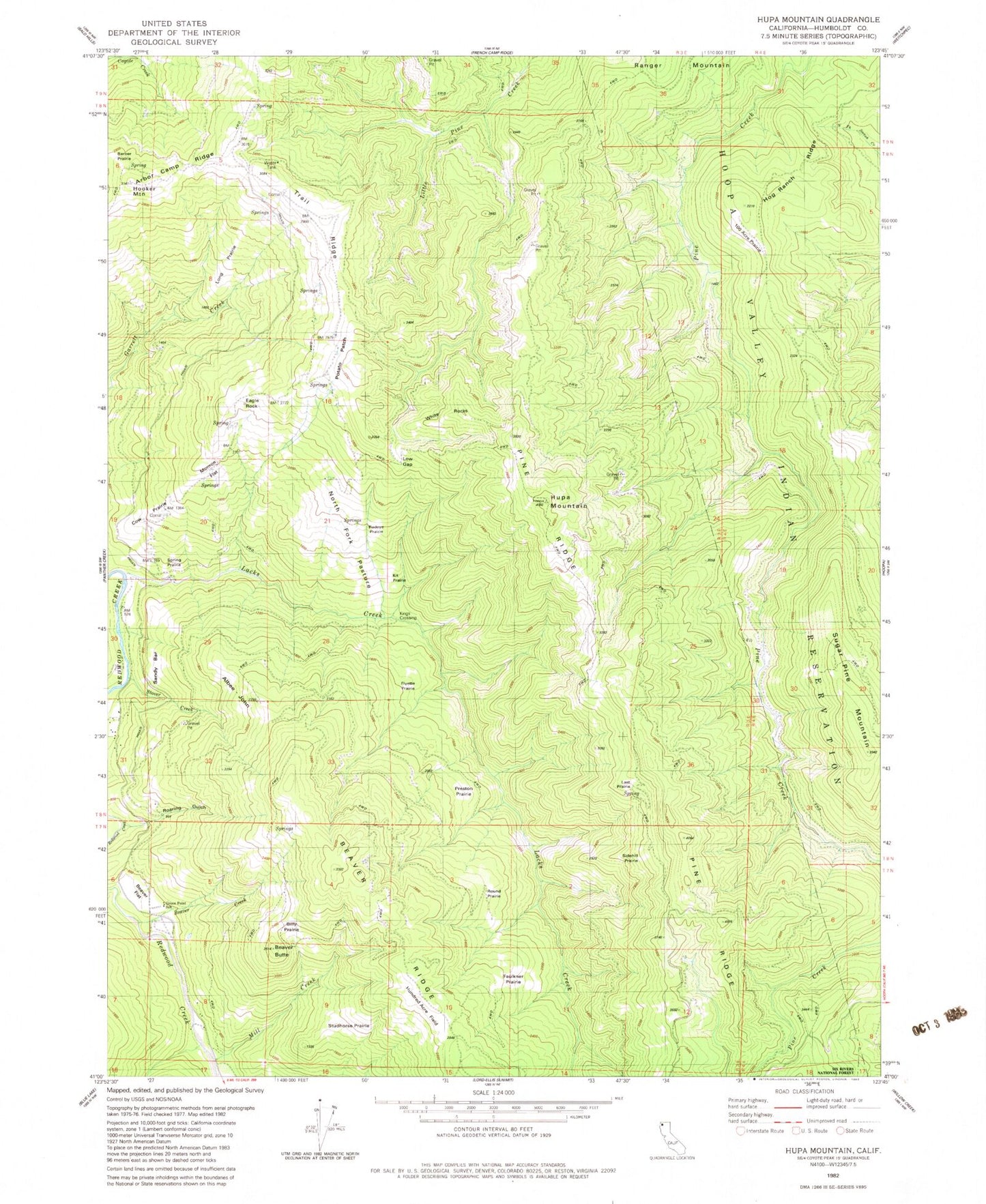
Historical USGS topographic quad map of Hupa Mountain in the state of California. Map scale may vary for some years, but is generally around 1:24,000. Print size is approximately 24" x 27"
This quadrangle is in the following counties: Humboldt.
The map contains contour lines, roads, rivers, towns, and lakes. Printed on high-quality waterproof paper with UV fade-resistant inks, and shipped rolled.
Contains the following named places: Arbor Camp Ridge, Beaver Butte, Beaver Creek, Beaver Flat, Beaver Ridge, Billy Prairie, Cookson Ranch, Cow Prairie, Eagle Rock, Faulkner Prairie, Flyette Prairie, Green Point Elementary School, Hog Ranch Ridge, Hooker Mountain, Hundred Acre Flat, Hupa Mountain, Kings Crossing, Kit Prairie, Lacks Creek, Last Prairie, Long Prairie, Low Gap, Mill Creek, Monroe Flat, North Fork Pasture, Onehundred Acre Prairie, Pine Ridge, Pond Ranch, Potato Patch, Preston Prairie, Redeye Prairie, Roaring Gulch, Round Prairie, Sandy Bar, Sidehill Prairie, Spring Prairie, Stover Creek, Stover Ranch, Studhorse Prairie, Sugar Pine Mountain, Trail Ridge, White Rocks


