MyTopo
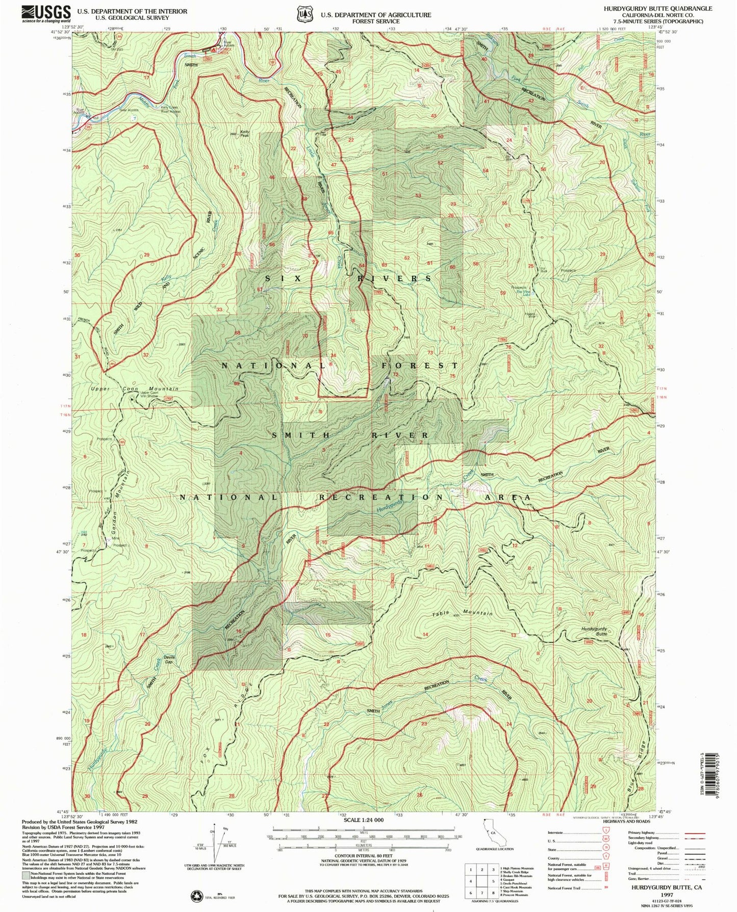
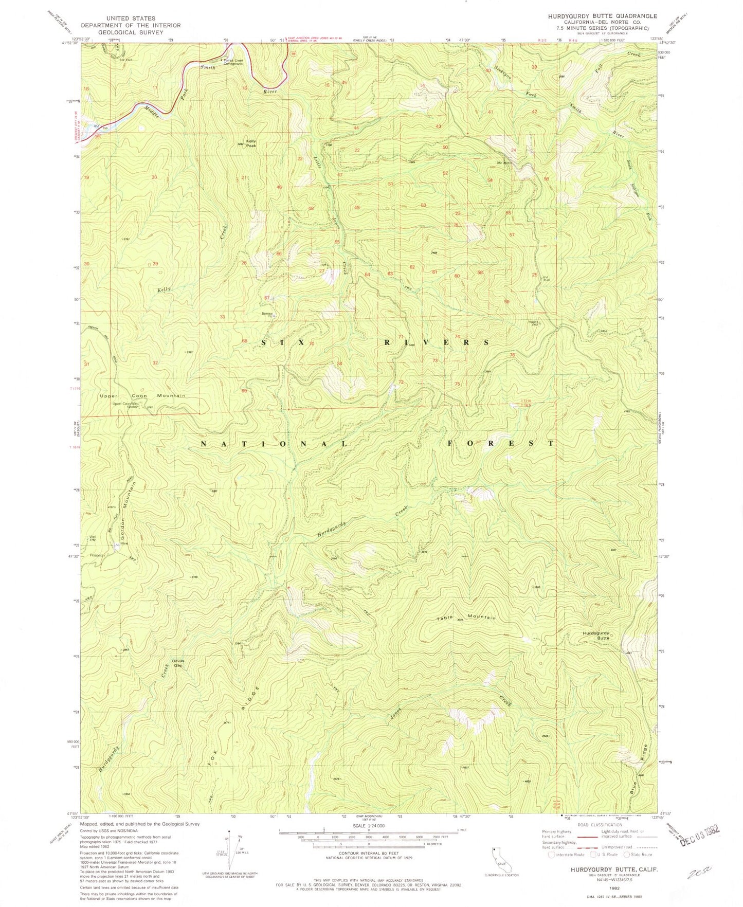
Classic USGS Hurdygurdy Butte California 7.5'x7.5' Topo Map
Couldn't load pickup availability
Historical USGS topographic quad map of Hurdygurdy Butte in the state of California. Typical map scale is 1:24,000, but may vary for certain years, if available. Print size: 24" x 27"
This quadrangle is in the following counties: Del Norte.
The map contains contour lines, roads, rivers, towns, and lakes. Printed on high-quality waterproof paper with UV fade-resistant inks, and shipped rolled.
Contains the following named places: Fox Ridge, Devils Gap, Fall Creek, Gordon Mountain, Hurdygurdy Butte, Little Jones Creek, Kelly Creek, Kelly Peak, Patrick Creek, South Siskiyou Fork, Table Mountain, Upper Coon Mountain, Upper Coon Mountain Shelter, Patrick Creek Campground, Patrick Creek Guard Station, Lawyers Bar (historical), Apex Mine, Grumpy Mine, Higgins Mine, Sunset Mine, Thursday Evening Mine, Smith River-Gasquet Division