MyTopo
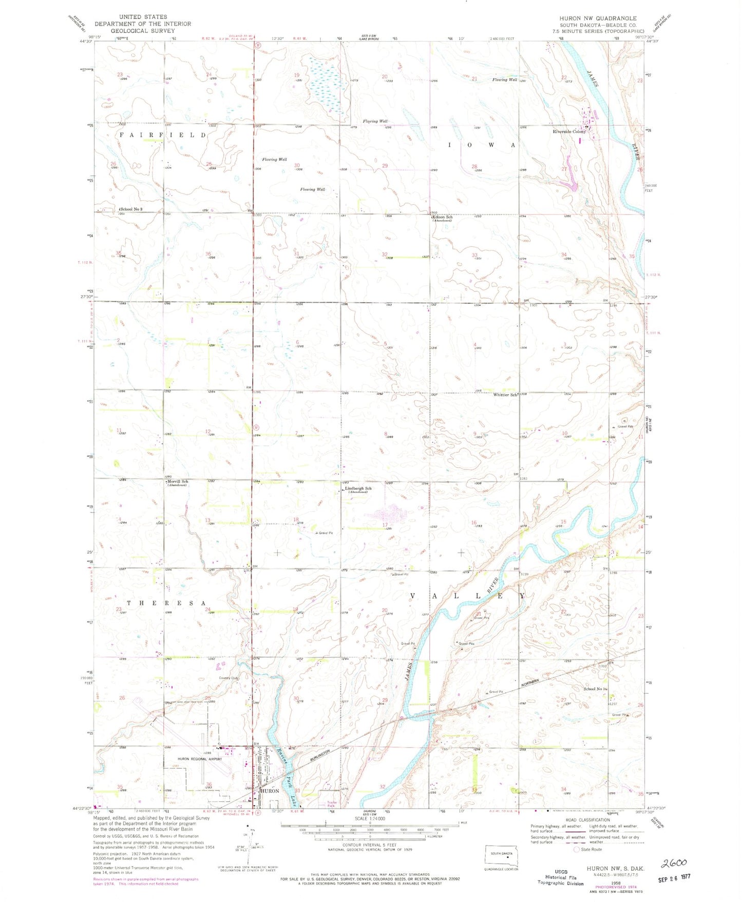
Classic USGS Huron NW South Dakota 7.5'x7.5' Topo Map
Couldn't load pickup availability
Historical USGS topographic quad map of Huron NW in the state of South Dakota. Map scale may vary for some years, but is generally around 1:24,000. Print size is approximately 24" x 27"
This quadrangle is in the following counties: Beadle.
The map contains contour lines, roads, rivers, towns, and lakes. Printed on high-quality waterproof paper with UV fade-resistant inks, and shipped rolled.
Contains the following named places: Edison School, Huron Ambulance Association, Huron Fire Department North Station, Huron Regional Airport, Huron Rural Fire Department, James Valley Christian Elementary School, James Valley Christian High School, James Valley Christian Junior High School, Lindbergh School, Morrill School, Ravine Park Lake, Riverside Colony, Riverside Colony Census Designated Place, Riverside Colony Elementary School, School Number 1, School Number 3, South Dakota Highway Patrol, Township of Valley, Whittier School, ZIP Code: 57350