MyTopo
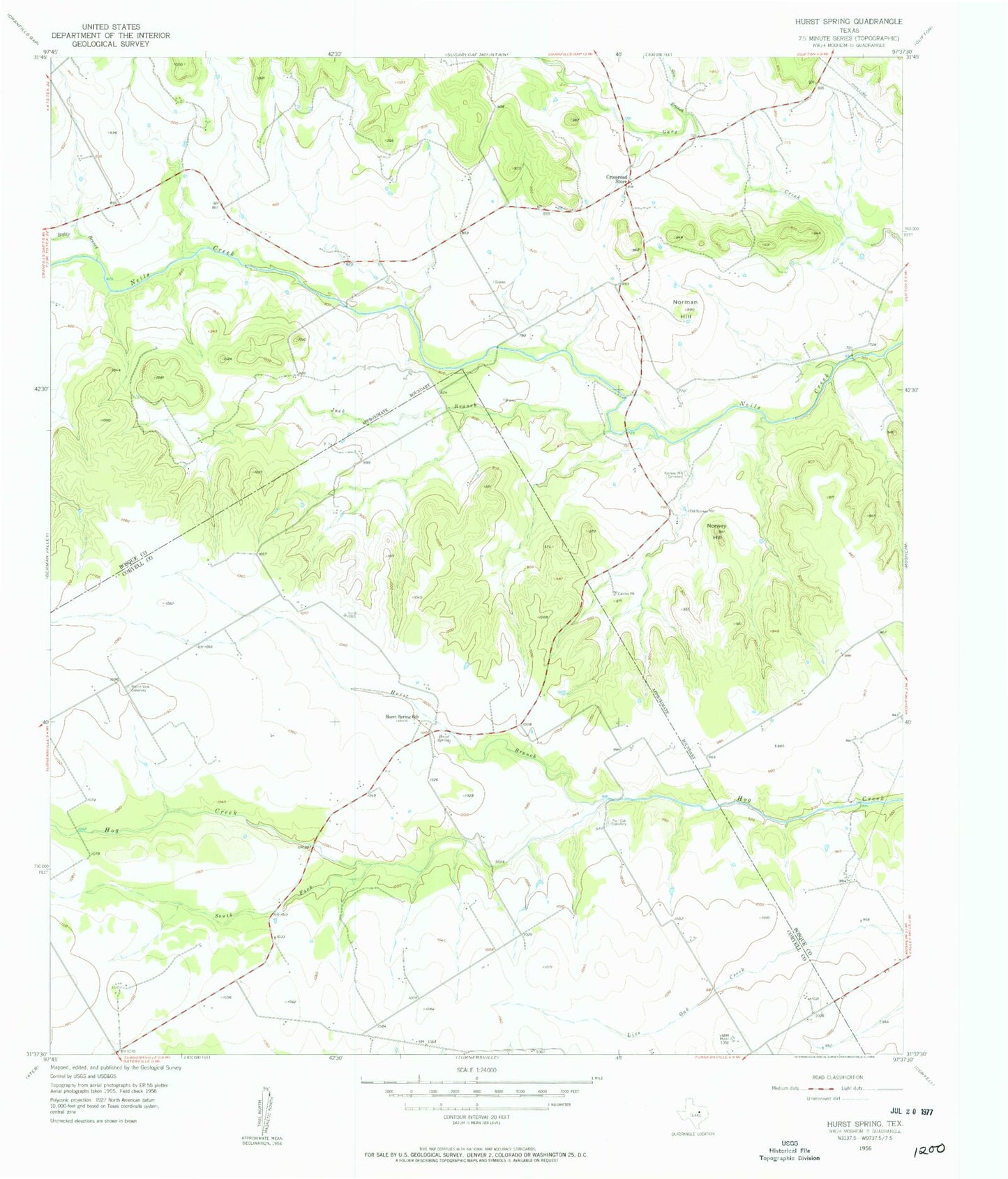
Classic USGS Hurst Spring Texas 7.5'x7.5' Topo Map
Couldn't load pickup availability
Historical USGS topographic quad map of Hurst Spring in the state of Texas. Map scale may vary for some years, but is generally around 1:24,000. Print size is approximately 24" x 27"
This quadrangle is in the following counties: Bosque, Coryell.
The map contains contour lines, roads, rivers, towns, and lakes. Printed on high-quality waterproof paper with UV fade-resistant inks, and shipped rolled.
Contains the following named places: A H Lahlum House, Boggy Branch, Crossroad Store, Gin Branch, Gunsten and Lofise Grimland House, Hoff-Ulland Farm, Hurst Branch, Hurst Spring, Hurst Spring School, Hurst Springs, Jack Branch, Jens and Kari Ringness Farm, John and Mary Colwick Farm, Keddel and Liv Grimland Farm, Lz Juliet Bravo Airport, Norman Hill, Norway Hill, Norway Mill, Norway Mill Cemetery, Old Norway Mill, Ole and Elizabeth Finstad Homesite, Olson-Hanson Farm, Post Oak Cemetery, Prairie View Cemetery, Reeder-Omenson Farm, Soil Conservation Service Site 1 Dam, Soil Conservation Service Site 1 Reservoir, South Fork Hog Creek, Tobias and Wilhelmine Schultz Farm


