MyTopo
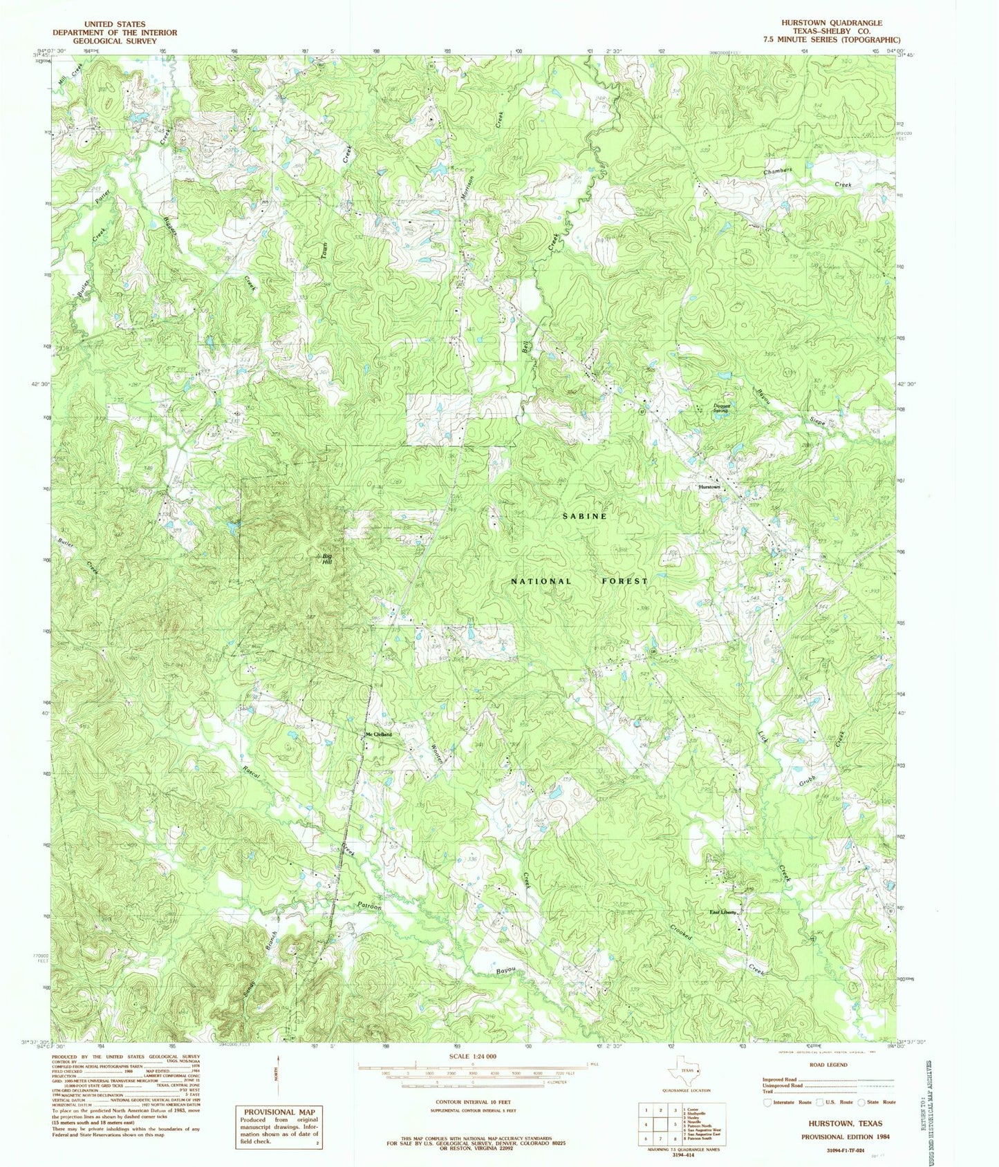
Classic USGS Hurstown Texas 7.5'x7.5' Topo Map
Couldn't load pickup availability
Historical USGS topographic quad map of Hurstown in the state of Texas. Map scale may vary for some years, but is generally around 1:24,000. Print size is approximately 24" x 27"
This quadrangle is in the following counties: Shelby.
The map contains contour lines, roads, rivers, towns, and lakes. Printed on high-quality waterproof paper with UV fade-resistant inks, and shipped rolled.
Contains the following named places: Adams Cemetery, Big Hill, Biggers Cemetery, Biggers Creek, Butler Creek, Cannon Cemetery, Center Ridge Cemetery, Creech Cemetery, Crooked Creek, Daugherty Cemetery, Davis Ranch, Doggett Spring, East Liberty, East Liberty Cemetery, East Liberty Church, East Liberty School, Ephesus Church, Grubb Creek, Hurstown, McClelland, McWilliams Cemetery, Neuville Cemetery, Neuville School, Neuvine Cemetery, Palestine Church, Rascal Creek, Rather Cemetery, Sample Cemetery, Sandy Branch, Todd Springs Church, Wooten Creek