MyTopo
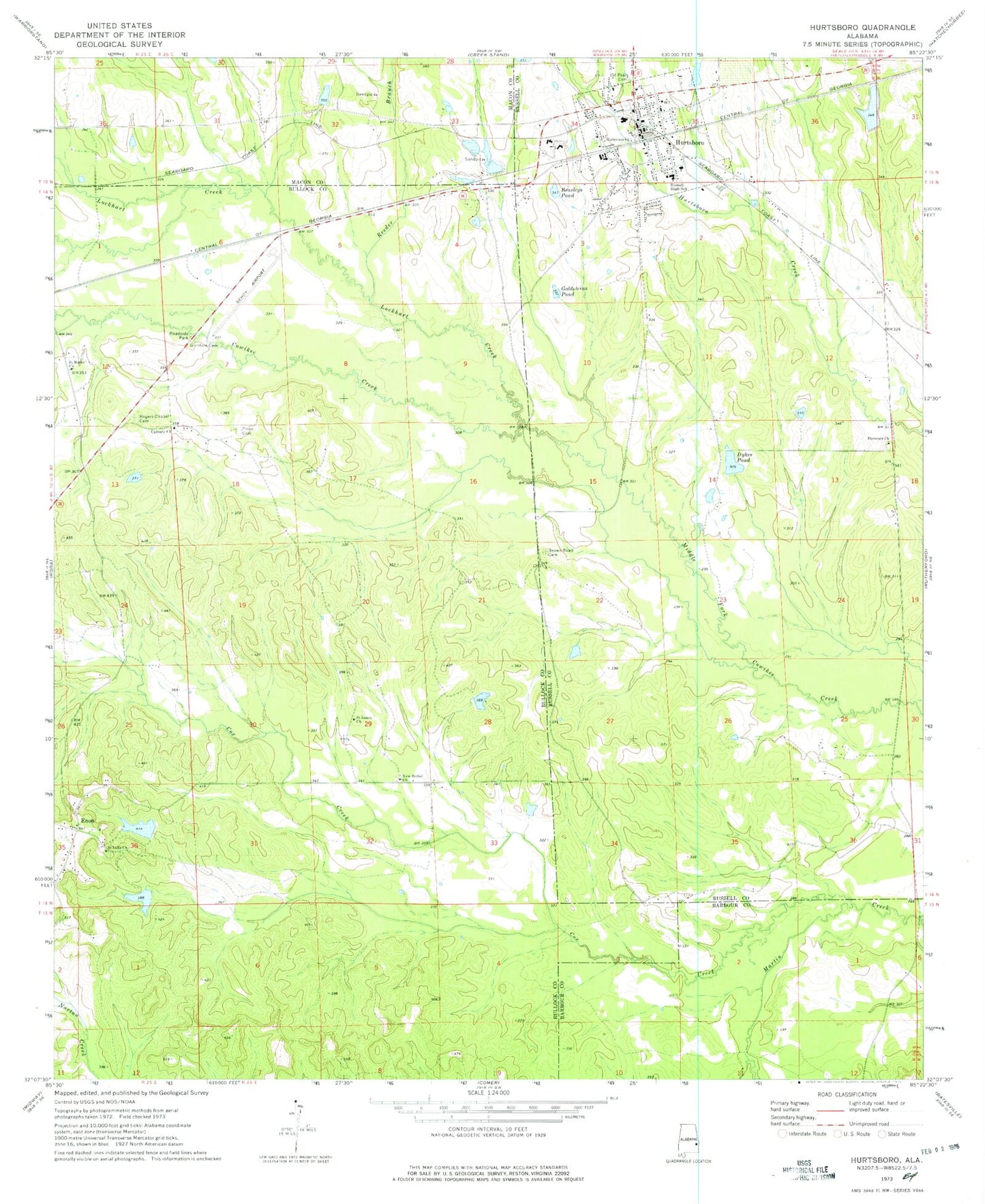
Classic USGS Hurtsboro Alabama 7.5'x7.5' Topo Map
Couldn't load pickup availability
Historical USGS topographic quad map of Hurtsboro in the state of Alabama. Typical map scale is 1:24,000, but may vary for certain years, if available. Print size: 24" x 27"
This quadrangle is in the following counties: Barbour, Bullock, Macon, Russell.
The map contains contour lines, roads, rivers, towns, and lakes. Printed on high-quality waterproof paper with UV fade-resistant inks, and shipped rolled.
Contains the following named places: Beasleys Pond, Brown Road Cemetery, Calvary Church, Cowikee Creek, Cox Creek, Dykes Pond, Ebenezer Church, Enon, Glenford Cemetery, Goldsteins Pond, Lockhart Creek, Provo Cemetery, Reeder Branch, Rogers Chapel, Russell High School, Saint Marks Church, Saint Pauls Cemetery, Sehoy Airport, Enon Pond Number 1 Dam, Enon Lake Number One, Enon Number 2 Dam, Enon Lake Number Two, Dykes Pond Dam, Deep South Lake Dam, Browns Road Church, First Baptist Church, First Methodist Episcopal Church, Renfro Church (historical), Hurtsboro Cemetery, Enon Church, Rogers Chapel, Hurtsboro, New Bethel Church, Enon Junior High School (historical), Saint James Christian Methodist Episcopal Church, Saint Luke Baptist Church, Guerryton Junior High School (historical), Hurtsboro Post Office, Noto Church (historical), Town of Hurtsboro, Hurtsboro Volunteer Fire Department, Hurtsboro Police Department


