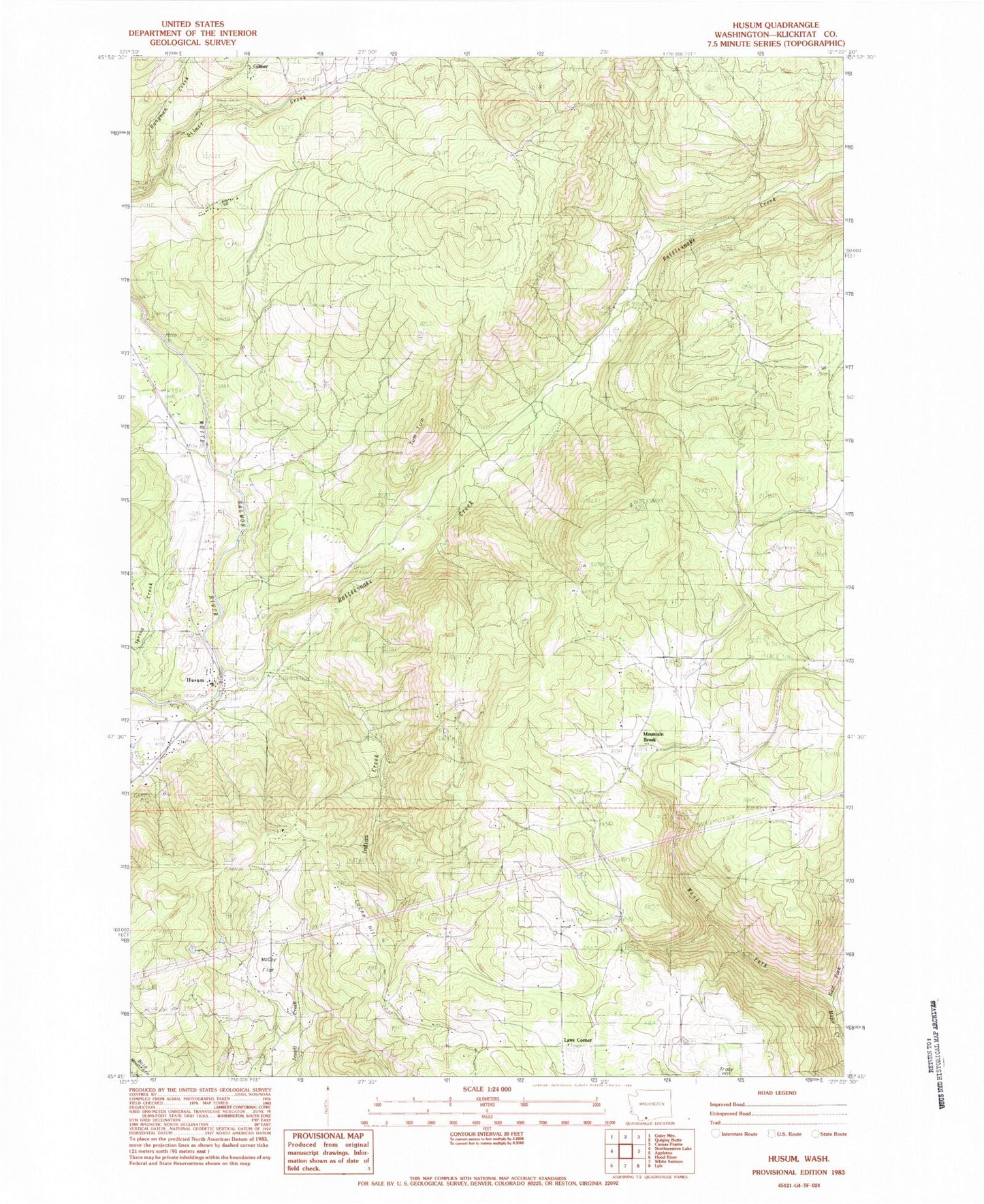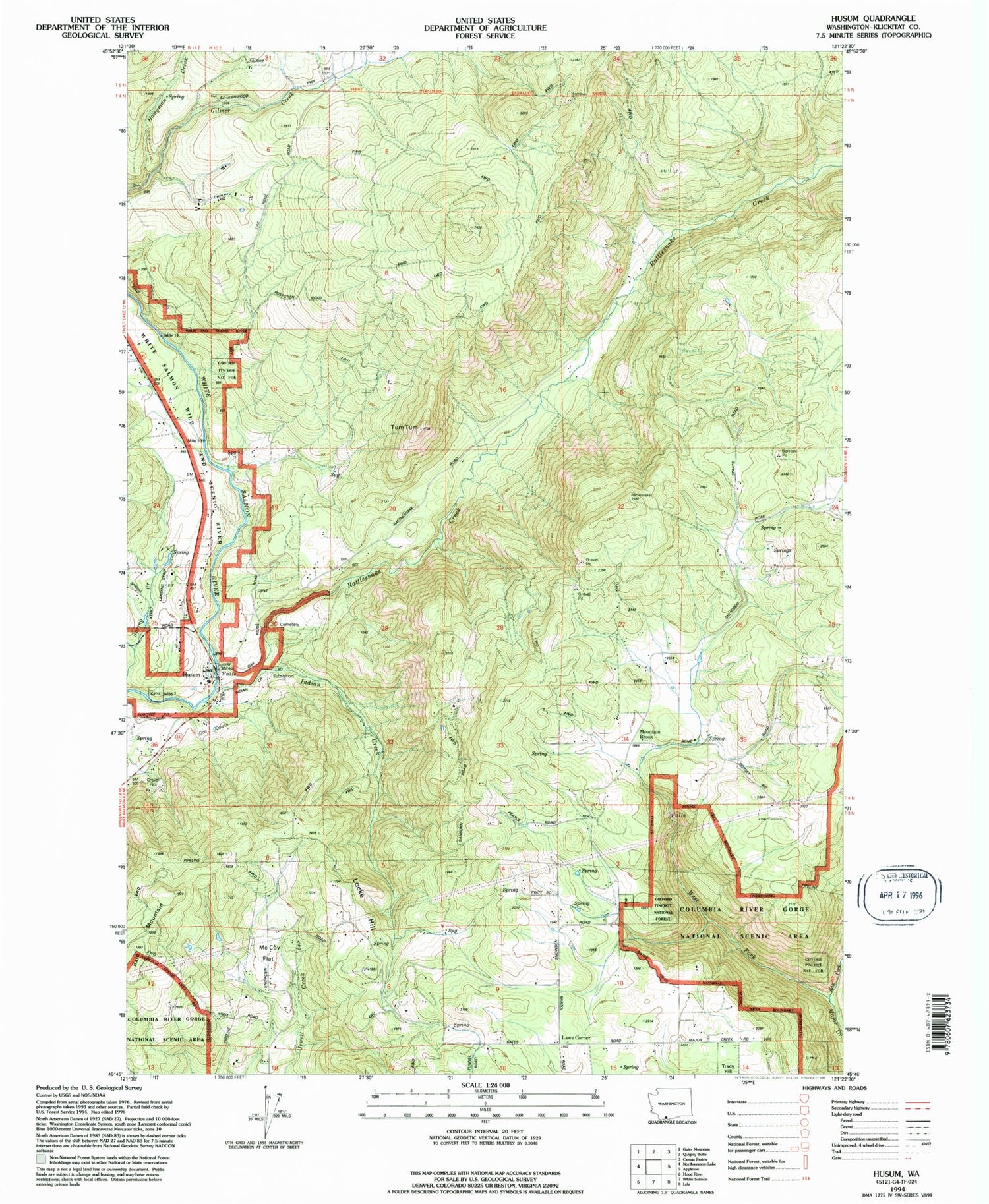
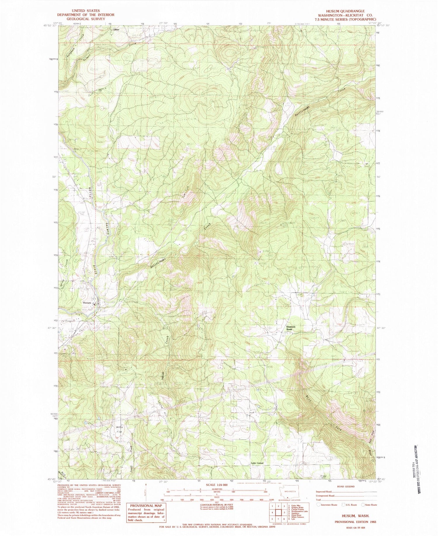
MyTopo
Classic USGS Husum Washington 7.5'x7.5' Topo Map
Couldn't load pickup availability
Historical USGS topographic quad map of Husum in the state of Washington. Map scale may vary for some years, but is generally around 1:24,000. Print size is approximately 24" x 27"
This quadrangle is in the following counties: Klickitat.
The map contains contour lines, roads, rivers, towns, and lakes. Printed on high-quality waterproof paper with UV fade-resistant inks, and shipped rolled.
Contains the following named places: East Fork Major Creek, Gilmer, Hangman Creek, Husum, Husum Post Office, Indian Creek, Klickitat County Fire District 3, Klickitat County Fire District 3 Mountain Brook, Klickitat County Fire Protection District 3 Husum, Kline Creek, Laws Corner, McCoy Flat, Mountain Brook, Mountain Brook School, Port Elsner Airport, Rattlesnake Creek, Spencer Reservoir, Spencer Reservoir Dam, Spring Creek Ranch Airport, Tracy Hill, West Fork Major Creek, White Salmon Division, ZIP Code: 98672