MyTopo
Classic USGS Hutch Mountain Arizona 7.5'x7.5' Topo Map
Couldn't load pickup availability
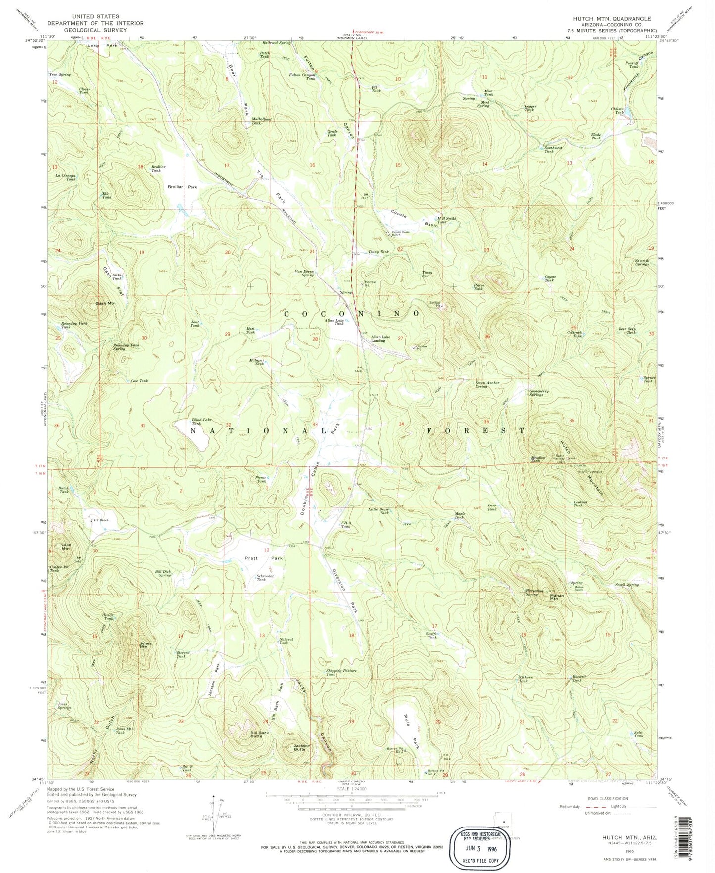
Historical USGS topographic quad map of Hutch Mountain in the state of Arizona. Typical map scale is 1:24,000, but may vary for certain years, if available. Print size: 24" x 27"
This quadrangle is in the following counties: Coconino.
The map contains contour lines, roads, rivers, towns, and lakes. Printed on high-quality waterproof paper with UV fade-resistant inks, and shipped rolled.
Contains the following named places: Allan Lake Landing, Allan Lake Tank, Bear Park, Bill Back Butte, Bill Back Park, Bill Dick Spring, Blade Tank, Blind Lake Tank, Boswell Tank, Brolliar Park, Brolliar Tank, Butch Tank, Cattrack Tank, Chilson Tank, Clover Tank, Cow Tank, Coyote Basin, Coyote Basin Ranch, Coyote Tank, Deer Seep Tank, Diversion Park, Divide Tank, Double Cabin Park, East Tank, Elk Tank, Elkhorn Tank, FH-three Tank, Fulton Canyon Tank, Gash Flat, Gash Mountain, Gash Tank, Gooseberry Springs, Grade Tank, Horseshoe Spring, Hutch Mountain, Jackson Butte, Jackson Park, Jones Mountain, Jones Mountain Tank, Jones Springs, K-T Ranch, La Cienega Tank, Lake Mountain, Lane Tank, Little Draw Tank, Logger Tank, Lookout Tank, Lost Tank, MB Smith Tank, Mahan Mountain, Mahan Ranch, Malapai Tank, Maxie Tank, Meadow Tank, Mint Spring, Mint Tank, Mule Park, Mulholland Tank, Natural Tank, Patch Tank, Picnic Tank, Pierce Tank, Pit Tank, Pouroff Tank, Pratt Park, Railroad Spring, Roundup Park Spring, Roundup Park Tank, Sawmill Springs, Schell Spring, Schroeder Tank, Section Twenty-six Tank, Seven Anchor Spring, Shipping Pasture Tank, Shuffs Tank, Southeast Tank, Split Tank, Spruce Tank, Stevens Tank, Tie Park, Tinny Spring, Tinny Tank, Van Deren Spring, Borrow Pit Number One Tank, Borrow Pit Number Two Tank, Bull Tank, Mahan Spring, Mahan Tank, Mahan Tank, Park Tank, Roundup Park, J Railroad Tank, Howard Tank


